

cyclone77
-
Posts
18,218 -
Joined
-
Last visited
Content Type
Profiles
Blogs
Forums
American Weather
Media Demo
Store
Gallery
Posts posted by cyclone77
-
-
2 minutes ago, SchaumburgStormer said:
Good call with @Chicago Storm for LOT. Straight garbage. Should have watered the garden tonight…
Haha yeah I was out watering earlier when it was still thundering. Probably looked crazy at the time but I knew we weren't gonna get squat at that point.
Most of the guidance had storms decaying well east of the MS river, but in reality they started shitting the bed way before that while still in east Iowa.
-
Looks like we may escape this event with nothing more than a 1 minute rain shower. Did pick up 0.01" with that. Overall a big fail rain-wise but glad to avoid the damaging storms.
-
First 90 of the year today here and at MLI.
Waiting on the damaging storms...
-
 2
2
-
-
I've seen a few cams fire off some convection well ahead of the main show near the MS river. That would be concerning if that were to happen.
Either way it's looking like a serious wind threat with the main show tomorrow evening.

-
Picked up 0.00" of precip last night/today.
-
 1
1
-
 1
1
-
-
It's about as lush and green as Scotland out there. Been the perfect amount of regular rains this spring.
-
6
-
-
0.94" since yesterday. Up to over 2.5" for May.
-
1
-
-
Apparently a week after the winter snows melt off the fires start in Canada. WTF lol
-
2
-
-
Solid overcast with rain shower about to move in lol
-
2 years ago tomorrow we started a very impressive 4-day stretch of 90s with high humidity. That included a few days where we reached 96, with heat indices near 105. DVN hit 97 on the 12th. That was almost as impressive as the infamous morch stretch to me. What was most impressive is that the high temps were associated with dews AOA 70. Usually to get temps that high this early in the year you'd need very dry air in place.
-
A nice refresher here with 0.44". Pushing 1.5" for May.
-
1
-
-
Had a short period of 45mph+ gusts from a dying thundershower a bit ago.
-
0.88" here this morning.
Supercell heading this way near the QC. Luckily low level shear and surface moisture are lacking.
EDIT: It's quickly crapping the bed now
-
Looking forward to some late night/early morning storms. Probably will be sub-severe when they get here, but should be a nice soaking.
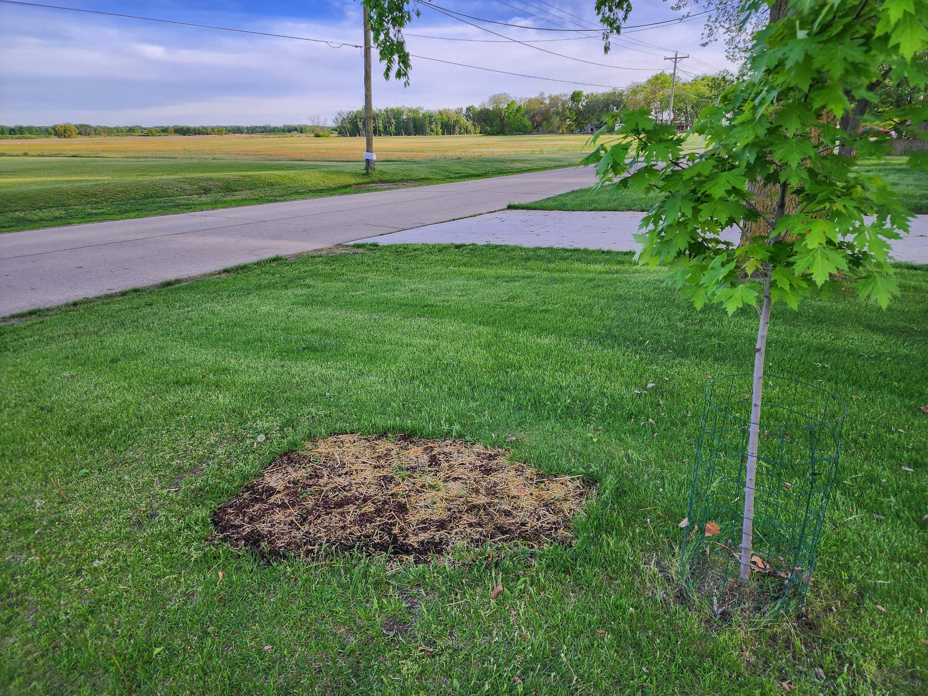
Perfect weather lately to plant some patchwork grass seed for the lawn.

-
2
-
-
2 hours ago, cyclone77 said:
Thundering right now as a storm is firing about 2 miles southeast. Looks like we'll pick up nothing with this system.
Wrong. Picked up 0.01" from some light anvil rain.

-
4
-
-
Thundering right now as a storm is firing about 2 miles southeast. Looks like we'll pick up nothing with this system.
-
Looks like the big system next Tue/Wed is the grand finale of this recent active stretch. Looks much more quiet beyond.
-
Ma' nature evening things out. Rain skipped right over the area today.
-
0.04" from withering anvil rain this eve brings the final total up to 6.38" for April.
-
1 hour ago, Tezeta said:
It’s a great video. Awesome intercept. But nowhere near the most violent motion. Go watch films of the Elie MB tornado. That’s my go-to.
Wynnewood OK was the craziest I've seen.
-
Looks like wave after wave of Plains sloppy seconds to start the month. Kind of a lame setup if you like severe closer to home for much of this sub. Rainfall looks beneficial though.
-
1
-
-
Has anyone seen (or heard lol) any of these 17yr cicadas that are supposed to be out by now? Only thing I've heard so far is the buzzing of mosquitoes.
-
1
-
-
0.73" overnight/this morning, so up to 6.30" for April now. Looking really lush out there now.
-
3
-
-
A decaying line of storms moving in but should get another good rain. Tomorrow afternoon and evening looks kind of lame again severe wise but may add more to the April rain total.
Spring/Summer '24 Banter and Complaint Thread
in Lakes/Ohio Valley
Posted
Cicada outbreak a huge bust in this area. Haven't heard or seen any in the several places I've been to lately. They must be pretty spotty, like pop-up thunderstorms lol.