

USCAPEWEATHERAF
-
Posts
8,736 -
Joined
-
Last visited
Content Type
Profiles
Blogs
Forums
American Weather
Media Demo
Store
Gallery
Everything posted by USCAPEWEATHERAF
-
 Today is January 24th, 2019, and we could have our first severe wind threat of the year. Models are forecasting a very intense, somewhere around 4 above standard deviations of a low-level jet stream intensity. 100-knot is very anomalous for a low-level jet strength. If convection can tap into this jet stream at 2000 to 5000 feet, than we can see damaging winds above 90mph enter the region sometime after 18z today. Be tuned into the timing of the passage of the severe cold front, as these storms could be tornadic, but most likely damaging wind threat. Stay tuned!
 -
Final snow map for the January 19-21, 2019 Nor'easter
USCAPEWEATHERAF posted a blog entry in Once a legend always a legend
Here is the final map -
Preliminary Snow Map for January 20-21st Nor'easter
USCAPEWEATHERAF posted a blog entry in Once a legend always a legend
The next name on the Weather Channel's annual Winter storm name's list is Winter Storm Harper, he is currently badgering the West Coast of the US. Models bring his heavy precipitation and moisture to the New England area in the form of snow for most, and snow/rain mix southeast of BOS to Hartford line. My snow map is the latest blend of guidance, and if the UKMET solution is right, I could be bust pretty low on the South Coast of MA, RI, and CT and it could be in the form of all snow in which 24-36" amounts would be plausible from NYC to BOS. I hope for that solution, but I think it might be warm enough for a change to rain and so I am going conservatively with a 3-6" amount from New London, CT to Cape Cod, MA. The map is pretty self-explanatory. Oh, and more historical storms are in the chute. -
Upper-level jet stream dives southward from Southern Canada into the northern tier of the CONUS. Both jet streams potentially combine to produce a heavy QPF producing storm system with all types of precipitation. Jet stream favors a -AO/+PNA/-NAO pattern which remains extremely favorable for winter storms to impact the Northeastern US. Stay tuned, the next ten days could feature a very impactful set of three storms.
-
Next 10 days could spoil SNE snow lovers
USCAPEWEATHERAF posted a blog entry in Once a legend always a legend
I'm intrigued that a colder solution for the next three events, could spell a 10 day window of snowfall ending up way above normal for the season. Some models are producing snowfall amounts of 100" over ME for the next two weeks. Oh man, I wish that happens on Cape Cod instead. -
Differences in 21z and 3z SREFs mean snowfall output
USCAPEWEATHERAF posted a blog entry in Once a legend always a legend
January 12th 21z run showed a mean of 6-8" however, the 3z run of January 13th increased the mean by 2", interesting to see today's runs up to 15z -
Current Radar Imagery of Winter Storm Gia
USCAPEWEATHERAF posted a blog entry in Once a legend always a legend
-
3z SREFs mean remains bullish for Snow on Cape Cod
USCAPEWEATHERAF posted a blog entry in Once a legend always a legend
3z SREFs has a mean snowfall of 6.45" over HYA from tomorrow evening through Monday evening. Some members are over 20" of snow and half are about 12"+, so there is a lot of spread in the means, and plus while the 00z EURO didn't show much precipitation over Cape and Islands, the model did up the ante with the upper level low and the surface low strengthening. Also, the HRRR 6z run shows a lot of lightning developing with the surface low as it reaches the coastline, this could impact the surface low track by pushing it more towards the coastline as it ramps up within the upper-level trough. -
Models bring a chance at snow after 18z tomorrow afternoon. Right now the NWS has a 20% chance for snow over the area, while I think it is something near 40% right now. I am a little more bullish due to short range guidance getting more amped up in the southern stream disturbance and exiting the northern stream energy faster to the north of the storm. This energy is causing a confluent flow over the northeastern CONUS allowing the DC winter storm to slide out to the southeast of the region, however, latest short-range guidance the HRRR and RAP 23z runs showing a potential for a deformation band to reach the South Coast of RI and MA. Should this happen, amounts could vary through a dusting to as much as 6" or more, all depends upon where that band can setup.
-
Could Cape Cod see their first accumulating snows of the season tomorrow afternoon into Monday? I think so, latest guidance is edging towards an impact with some snow, the question is how much precipitation does fall over the area? WV suggests that the northern confluence zone and northern stream energy causing the southward movement of the precipitation is actually moving out of Quebec, Canada at a quicker fashion, is it enough to allow the southern stream disturbance to intensify and push precipitation back into SNE? I don't know, but tomorrows short range guidance will get a much clearer idea and I will give an accumulations map if we edge that way tomorrow morning. Let's Go Patriots!
-
JANUARY 8-10th 2019 Snowstorm MAP
USCAPEWEATHERAF posted a blog entry in Once a legend always a legend
-
I have two scenario maps for this weekend's storm, moderate snowfall likely, while big storm potential exists, the potential is very small at this time. 3-6" seems best snowfall predictions.
-
Next week could give SNE our first real shot at accumulating snow threats with at least two upcoming events in the next 10 days to start winter off the right way. The GFS, EURO, and EPS mean all show favorable pattern showing up in the 3-10 day range giving SNE shots at snow finally. With a stout +PNA ridge out west leading to northern stream disturbances diving southeastward out of Manitoba, and Saskatchewan Canada we could get a few timing issues fixed and phased super bombs could be producing rounds of heavy snow even over the Outer Cape Cod and island of Nantucket the next week plus into the end of the month. Stay tuned!
-
Pattern Change after New Year's Week
USCAPEWEATHERAF posted a blog entry in Once a legend always a legend
Pattern change comes in the first week of January 2019, towards a colder and snowier potential and a major coastal storm on January 7th-9th. -
Two storms threaten the New year holiday week. The first one is for December 30-31st 2018 and the second one is for January 1-3rd 2019. Stay tuned, could be heavy snow producers. The odds favor a cold storm scenario with an amplified +PNA ridge out west.
-
Christmas Eve Clipper Snow Map
USCAPEWEATHERAF commented on USCAPEWEATHERAF's blog entry in Once a legend always a legend
I am about to up the ante on the snowfall map for tomorrow, 3-6" is looking nice right now, will await 00z runs before going to change the map. -
This is the 12z model update for the clipper snow threat tomorrow into Christmas morning. Big snows don't look likely now, but 2-4" is still possible for the outer Cape.
-
Christmas Eve Clipper? Could it be a bigger storm?
USCAPEWEATHERAF posted a blog entry in Once a legend always a legend
GFS and EURO, as well as the new experimental GFS, show the potential for a clipper on Christmas Eve of next week Monday. Six days until this event, which is not a lot of time to discuss the potential. However, models are not squishing the energy anymore and therefore not shredding the disturbance as it goes through the flow over the eastern US. Time will tell if this event becomes more substantial, but there is potential. -
Editing help needed for novels?
USCAPEWEATHERAF posted a blog entry in Once a legend always a legend
If the price is reasonable I need an editing assist for my work, my first novel is done, it needs editing work. So it is nice and neat for an agent to select it and work with me to get published. -
Succession of Clippers bring us a White Christmas!
USCAPEWEATHERAF posted a blog entry in Once a legend always a legend
Right now the storm for Sunday and Monday looks rather warm for SNE with a later phased stream bringing mainly rain to eastern SNE, especially the coastline. However, I believe the models are having a problem identifying the +PNA and it is rather stout, +1 standard of deviation in the positive realm, leading to high ridging into Arctic Circle bringing cold air southeastward out of the reaches of central Canada. The northern stream becomes quite amped up but too late on most of the guidance. I will quickly check the short range guidance, the 00z RGEM, WRF ARW, and WRF NMM models. The graphic I have below shows the two main players involved in the weather making this weekend. First, the southern stream disturbance and upper-level low moving over the Mid-Atlantic States tomorrow through Sunday and of the NJ coastline by Sunday afternoon and south of ACK by Sunday night, does this tuck into the elbow of Cape Cod and make a stall or does it head out to the east of Nova Scotia? Right now I would favor the HIRES models and show a path just east of Cape Cod occurring and pummeling Eastern SNE with heavy precipitation mainly snow northwest of Boston to Providence and a mix of snow and rain for the coastal plain. I will have a snow accumulations map out tomorrow morning. -
December 12-13th 2018 Snow Threat Snowfall Map
USCAPEWEATHERAF posted a blog entry in Once a legend always a legend
First updated map for the threat for snowfall tomorrow. Models are upping the ante and we could be surprised. -
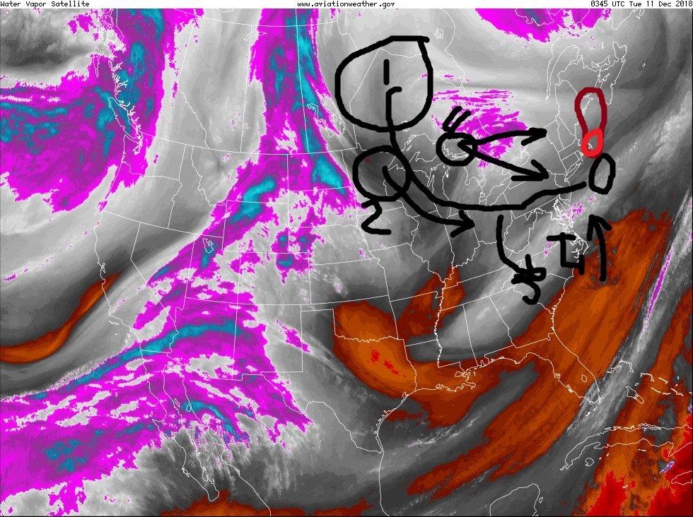
500mb pattern says it all
USCAPEWEATHERAF commented on USCAPEWEATHERAF's blog entry in Once a legend always a legend
-
Models are still too progressive with the arctic shortwave moving through Canada and Great Lakes region it is digging southward, not southeastward. This will bode well for potential snowfall for Cape Cod on Wednesday. If this shortwave can produce its own surface low, it will enhance the low-level flow over Gulf of Maine and Cape Cod, producing an inverted trough that can produce rapidly deteriorating conditions in a matter of minutes. This inverted trough could produce up to 3-6" or more depending if it has time to mature and develop. Models might be on target, but I am looking at the nowcast situation, we have a developing surface low east of NC coast, this is in a more northerly position than the models had 18 hours ago, also the precip shield is developing SW to NE and pivoting northward on the front end with a large push of heavy rainfall off the NC coast and into Hatteras, NC. We have an additional energy behind the main arctic shortwave, that is diving through western Ontario, Canada and is pushing the overall momentum of the trough southward not eastward. If this trough energy can dig south of Long Island, NY we can see up to 6"+ from the inverted trough. Again the pivotal point will be tomorrow afternoon 18z observations. Stay tuned! I will issue a snowfall map tomorrow morning.
-
The latest 18z RGEM shows Cape Cod getting 2-4" in the next three days, or possibly more as the run ends before the event does. Some models are more bullish with the inverted trough and ocean effect snow event on Wednesday. NWS ups the chance for snow around 50% for Wednesday.
-
12z GFS brings intrigue for New England Snow Lovers
USCAPEWEATHERAF posted a blog entry in Once a legend always a legend
Latest 12z GFS digs our northern stream shortwave even further southward now and develops a coastal storm just too far out to sea currently to bring substantial snows to Cape Cod. But trends could continue towards favoring an actual closer to the coastline coastal low that could impact our area with snows. Considering our northern stream is digging more than predicted today, this can bode well for later on mid-week period. We need to watch the trends for today to see what the next week brings. Stay tuned!