
PrinceFrederickWx
-
Posts
5,207 -
Joined
-
Last visited
Content Type
Profiles
Blogs
Forums
American Weather
Media Demo
Store
Gallery
Everything posted by PrinceFrederickWx
-
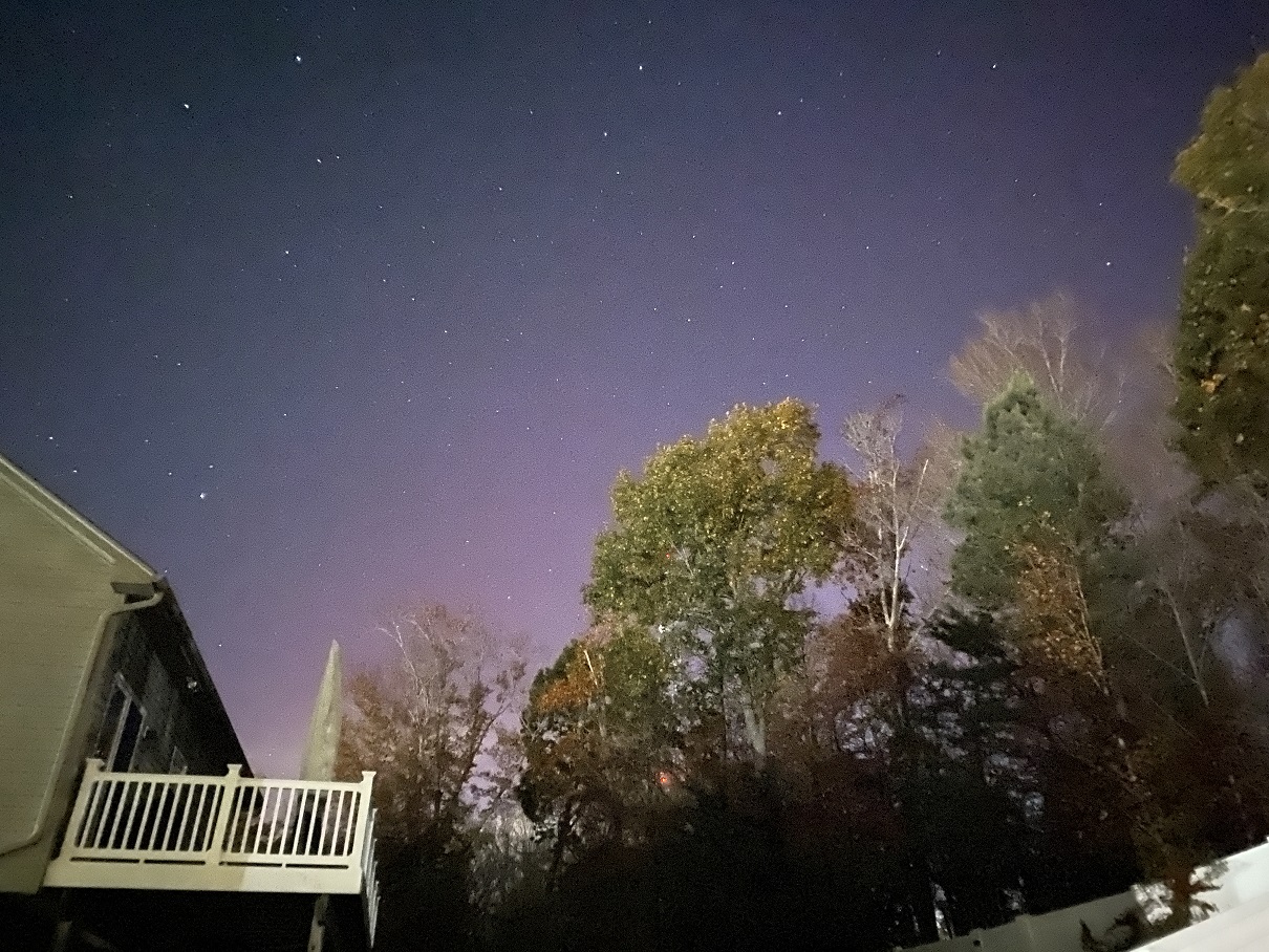
The latest update on Spaceweather.com says it’s not going to be as impressive as yesterday.
-
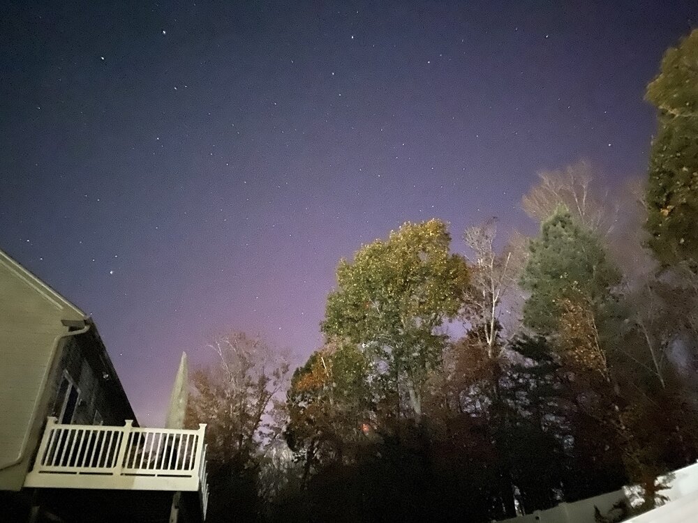
It looks like an Oblivion Gate opened in Bob Chill’s backyard (IYKYK ) Edit: this was referencing the super red pic further up
-
-
It’s showing up in 3 second exposures to my north now.
-
I’m not seeing anything IMBY even with long exposure. Skies are clear at least.
-
How do you get text alerts? Is there an app for this somewhere?
-
https://www.space.com/stargazing/auroras/northern-lights-may-be-visible-in-these-us-states-tonight-nov-10-to-12 Needs to come a little further south for me, but some of you in this subforum may have a better chance.
-
I have a friend who lives south of Charlotte texting me pictures of the snow lol I’m hoping this is the start of a front loaded Nina winter, cause I really miss Dec. snow.
-

Best Mid-Atlantic winter storm of the last 50 years
PrinceFrederickWx replied to PrinceFrederickWx's topic in Mid Atlantic
I had once thought of making a poll like that, but decided it was too cruel. The most epic busts IMHO: March 2001 Boxing Day 2010 Snowquester 2013 The entire 2023-2024 winter -
Is the KU book on Northeast Snowstorms still worth reading, or is it too dated now? I’ve never read it, but I found someone online selling it used at a significant discount.
-
Best Mid-Atlantic winter storm of the last 50 years
PrinceFrederickWx replied to PrinceFrederickWx's topic in Mid Atlantic
There’s probably two ways of looking at it. 1) What’s your favorite in terms of the end result (for me it was Snowmageddon part 1, hands down). This was the question I was asking in the poll. 2) Which one was the most impressive/anomalous in terms of the meteorology? That one’s above my pay grade, but perhaps Dec. 2009 because of the time of year, or March 1993 because of the overall setup? PDI seems insane too from what I’ve read. -
Best Mid-Atlantic winter storm of the last 50 years
PrinceFrederickWx replied to PrinceFrederickWx's topic in Mid Atlantic
‘96 and Snowmageddon 1 were tied before I bumped this. Now Snowmageddon 1’s taken the lead. -
Best Mid-Atlantic winter storm of the last 50 years
PrinceFrederickWx replied to PrinceFrederickWx's topic in Mid Atlantic
Bump. I was thinking about this old thread today. IMBY I'd add 1/6/2025 to the list for sure- I'd even put it above HECS 2016, despite having several inches less in the end. -
12th Annual Mid-Atlantic Snowfall Contest
PrinceFrederickWx replied to RodneyS's topic in Mid Atlantic
BWI: 13.1” DCA: 10.5” IAD: 13.6” RIC: 6.6” Tiebreaker SBY: 7.0” -
That’s an amazing photo- where did you take that?
-
Nice cloudy breezy fall day, I like it. Also model tracking this winter is going to be hilarious.
-
Two day total of 0.13" so far...
-
True, but I said February in particular, because if I remember correctly, October 2009 had two back-to-back coastals.
-
October 2009… definitely a harbinger of the following February. My father-in-law is supposed to fly in to BWI Sunday afternoon though.
-
Two-day total 1.04”
-
Pouring rain here in Calvert- we are so back.
-
This was all because I finally threw in the towel and reaped myself for the summer 2014 redux at the end of July. I’ll try pressing my luck and set up an auto-reap for this winter on November 1; that oughta lock us in an 09-10.
-
0.86” this month. Driest August and one of the driest months ever since I moved here. Yard is burning up now. I visited Stephen’s City and Winchester earlier this month- guess I brought the curse back with me.
-
I want to be strumming this on my rooftop next month whilst waiting for a water rescue, after Calvert County gets the right front quadrant from a cat 5 that takes a hard left up the Patuxent. Anything less will be a disappointment this tropical season.
-
You’d never know my yard had nearly 10” of rain last month…