
PrinceFrederickWx
-
Posts
4,598 -
Joined
-
Last visited
Content Type
Profiles
Blogs
Forums
American Weather
Media Demo
Store
Gallery
Everything posted by PrinceFrederickWx
-
Yep, it’s not what the refs call, it’s what they don’t call. If you ever attend a game in person (as I often did years ago) it’s even crazier the stuff you’ll see that’s missed.
-
Idk if I would call it flat-out rigged, but the NFL definitely wants certain outcomes. The Ravens are a small market and their super bowls draw low ratings, whereas with the Chiefs they’re guaranteed a huge ratings boost from Swifties. One of many reasons I stopped watching NFL years ago and only casually keep track.
-
I’ve had enough of Taylor Swift and Perfect Track Rainstorms.
-
78 here. Took the kids to the beach this afternoon, it was crowded. Happy winter!
-
It drives me nuts when people say “we’re due for an 09/10 because the last seven years sucked.” Gambler’s Fallacy
-

The “is it ever going to snow again” discussion.
PrinceFrederickWx replied to psuhoffman's topic in Mid Atlantic
I was shocked to find out it's even worse for BWI; they haven't had a WSW in February or March since 2015! If we can't score in February in this Nino, then idk what to say.... -
He’s watching the long range thread right now:
-
LWX used to be really engaged with spotters too. They’d send out mass E-mails to spotters, etc. Years ago they would often call me up or E-mail me directly asking for info, especially if Prince Frederick was being particularly impacted by some event. That seems to have changed recently, I never hear anything nowadays.
-
I’m glad to see a pro met here disputing the map. You can do whatever you want with this info, as I believe you work for NWS? There are a number of issues with that map, particularly with southern Maryland. You may have seen my complaint earlier ITT about how my spotter reports disappeared. I E-mailed LWX asking why. The issue seems to be that this year they started using “Dept of Highways” measurements in the PNS reports, which are not accurate IMHO. They told me that because I live next to State Highway, we both came up as “Prince Frederick 1 S” so their software must have overwritten my reports. I was told not to worry though, that my reports are still in their system. I don’t believe that explanation, as my reports are not on this map, nor on LWX site. Furthermore, I sent my report in- twice- with a timestamp after State Highway, and yet it still is not there anywhere. They used the larger total from State Highway (2.5”) to make a 2” contour over Calvert. I reported 1.4” while State Highway had 2.5” There is zero chance State Highway is correct- all I can think of is that State Highway measures snow depth. I have clear visibility of their entire site, there is definitely no snowboard, nor any open place for them to measure. I also questioned the lack of spotter reports for Calvert, they told me I was the only spotter that sent in a report in Calvert. I have no idea if that’s accurate or not, but it seems odd. I always see multiple reports from Calvert with any storm. So if you see any spots on that map whose totals seem odd, check and see if it was based on a “Dept. of Highways” measurement. I doubt I was the only one with this issue.
-
We live in a simulation and the programmers are currently rerunning 2013_winter.exe -Back-to-back snow-on-snow minor events in January with a week of cold (you are currently here) -Ravens defeat 49ers in Super Bowl -February cartopper busts -“Snowquester” lol -Pity sun angle slush event in late March
-
For some reason my final spotter report from 9pm never showed up on LWX site. Just tried submitting again. Calvert seems to be missing all spotter reports so maybe it’s something glitched with their site.
-
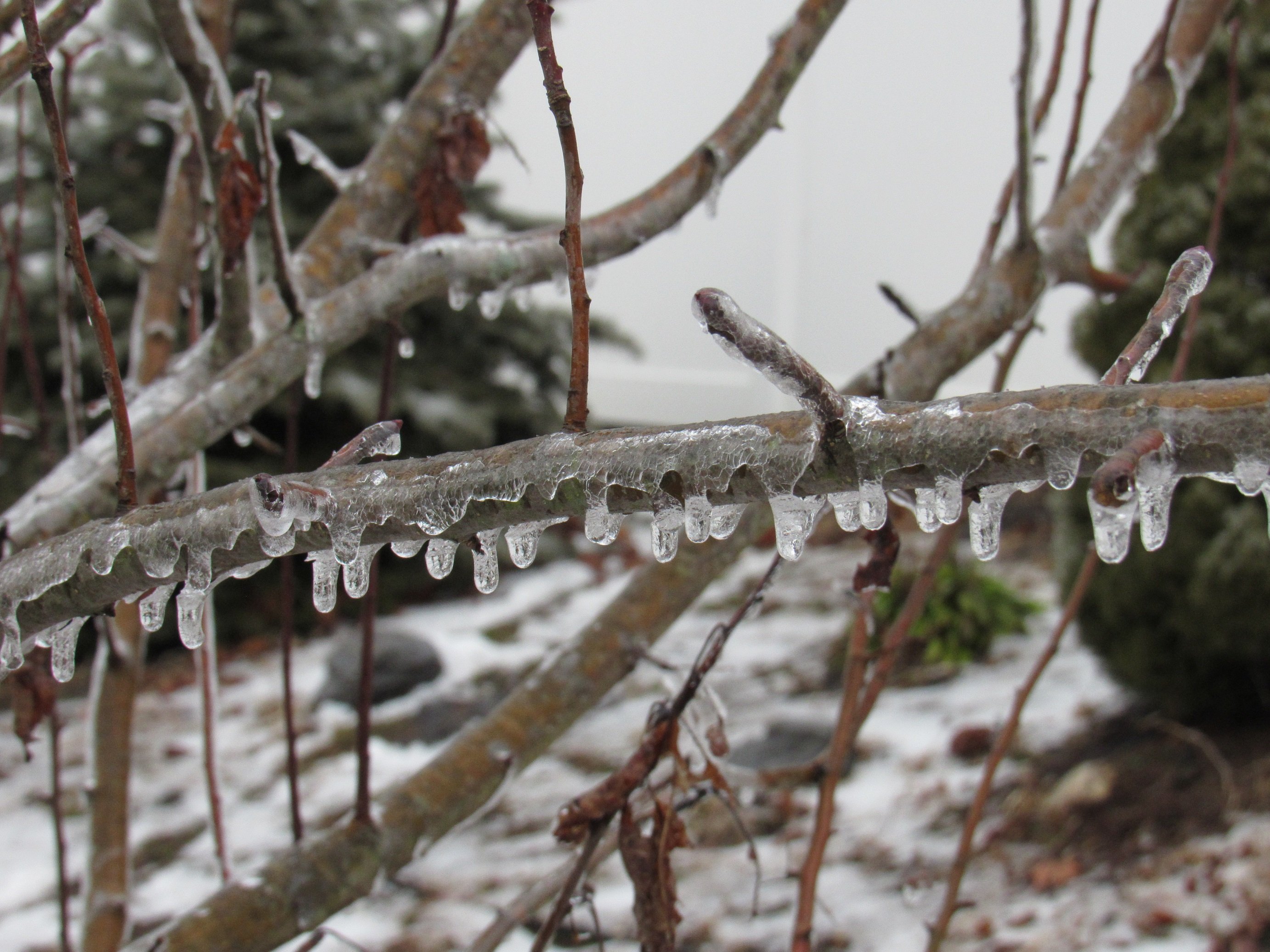
1.4” final total. The night sky is pretty, standing out on the deck enjoying what little snow I have.
-
9th Annual Mid-Atlantic Snowfall Contest
PrinceFrederickWx replied to RodneyS's topic in Mid Atlantic
That’s gotta be the widest gap ever between RIC and the other three airports. -
Snowing again and NOW everything is starting to cave finally… right after the WWA expires lol
-
9th Annual Mid-Atlantic Snowfall Contest
PrinceFrederickWx replied to RodneyS's topic in Mid Atlantic
I'm thinking @Kmlwxhas this in the bag now, like dead-on-balls accurate. Just my guess. -
I’m up to 1.2” now for the event. It’s only accumulating on the snowboard and some grassy areas, everything else is wet.
-
Southern MD / Lower Eastern Shore weather discussion
PrinceFrederickWx replied to PrinceFrederickWx's topic in Mid Atlantic
It's been snowing hard here but it can't accumulate, sitting right around 32. Maybe it can start to cave later in the afternoon like the previous storm if it's still going then. -
Jan/Early Feb Medium/Long Range Discussion Part 3
PrinceFrederickWx replied to WinterWxLuvr's topic in Mid Atlantic
I don't care if I got 50 feet of rain in December; nationwide, the winners and losers in the snow dept. looks just like a Nina. -
Jan/Early Feb Medium/Long Range Discussion Part 3
PrinceFrederickWx replied to WinterWxLuvr's topic in Mid Atlantic
This has basically been a La Nina winter (yet again) so I'm not surprised February looks like it will suck. -
SoMD is the new Richmond, it takes a million things to go right to snow here now, and even then, you can just expect your pity inch. January 2022 was probably the last big event we see in our lifetime. If you subtract that month out it's basically been a near-shutout in every event here since 2019. We're supposed to average 19" of snow but I haven't reached that since 2016.
-
Southern MD / Lower Eastern Shore weather discussion
PrinceFrederickWx replied to PrinceFrederickWx's topic in Mid Atlantic
The snow has resumed so here’s hoping I can get the rest of my inch at least. -
Southern MD / Lower Eastern Shore weather discussion
PrinceFrederickWx replied to PrinceFrederickWx's topic in Mid Atlantic
I'm not even sure the WWA is going to verify here, snow stopped and it's already melting. I last measured 0.6" -
9th Annual Mid-Atlantic Snowfall Contest
PrinceFrederickWx replied to RodneyS's topic in Mid Atlantic
-
0.6” here so far, with light snow. Roads and sidewalks have caved in a few spots, but are mostly wet.
-
9th Annual Mid-Atlantic Snowfall Contest
PrinceFrederickWx replied to RodneyS's topic in Mid Atlantic
In the new normal, we seem to only get one decent storm in January... my forecast accounted for this one-and-done. But I've seen several people pointing to early February as the time to watch, which would make sense historically, so we'll see if I get blown out or not. Obviously I hope I'm proven wrong.


