CoolHandMike
-
Posts
1,561 -
Joined
-
Last visited
Content Type
Profiles
Blogs
Forums
American Weather
Media Demo
Store
Gallery
Posts posted by CoolHandMike
-
-
Just cleared the driveway again; measured 9" of new snow since noon, and nearly another 1" fell while I was snowblowing.

-
 1
1
-
-
3 minutes ago, LVblizzard said:
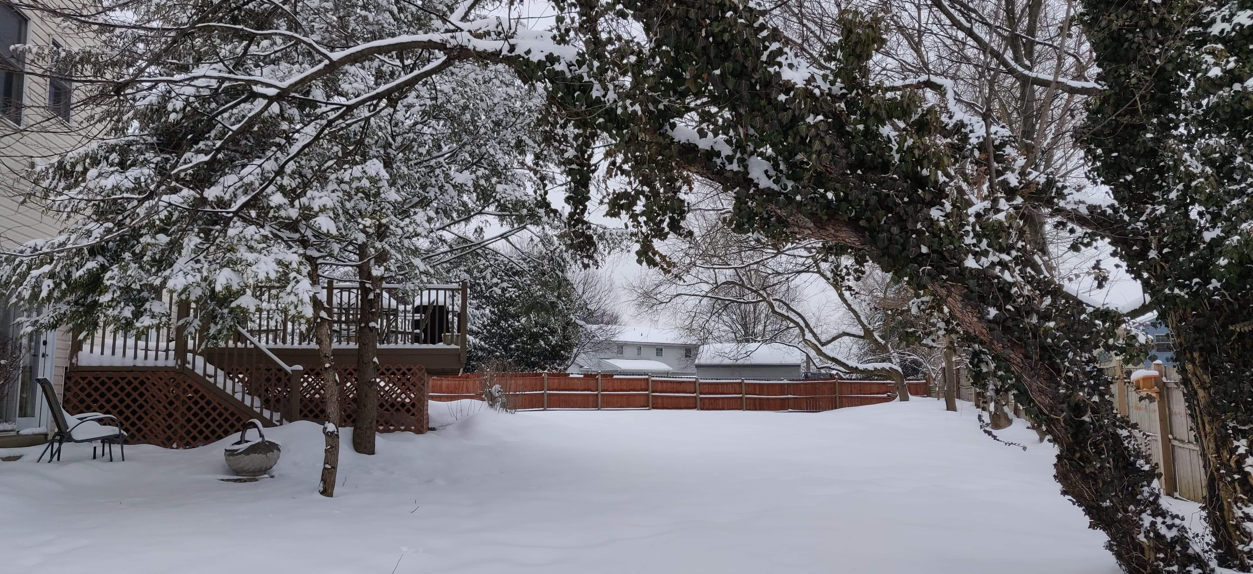
The back deck at work in Bath, PA right now
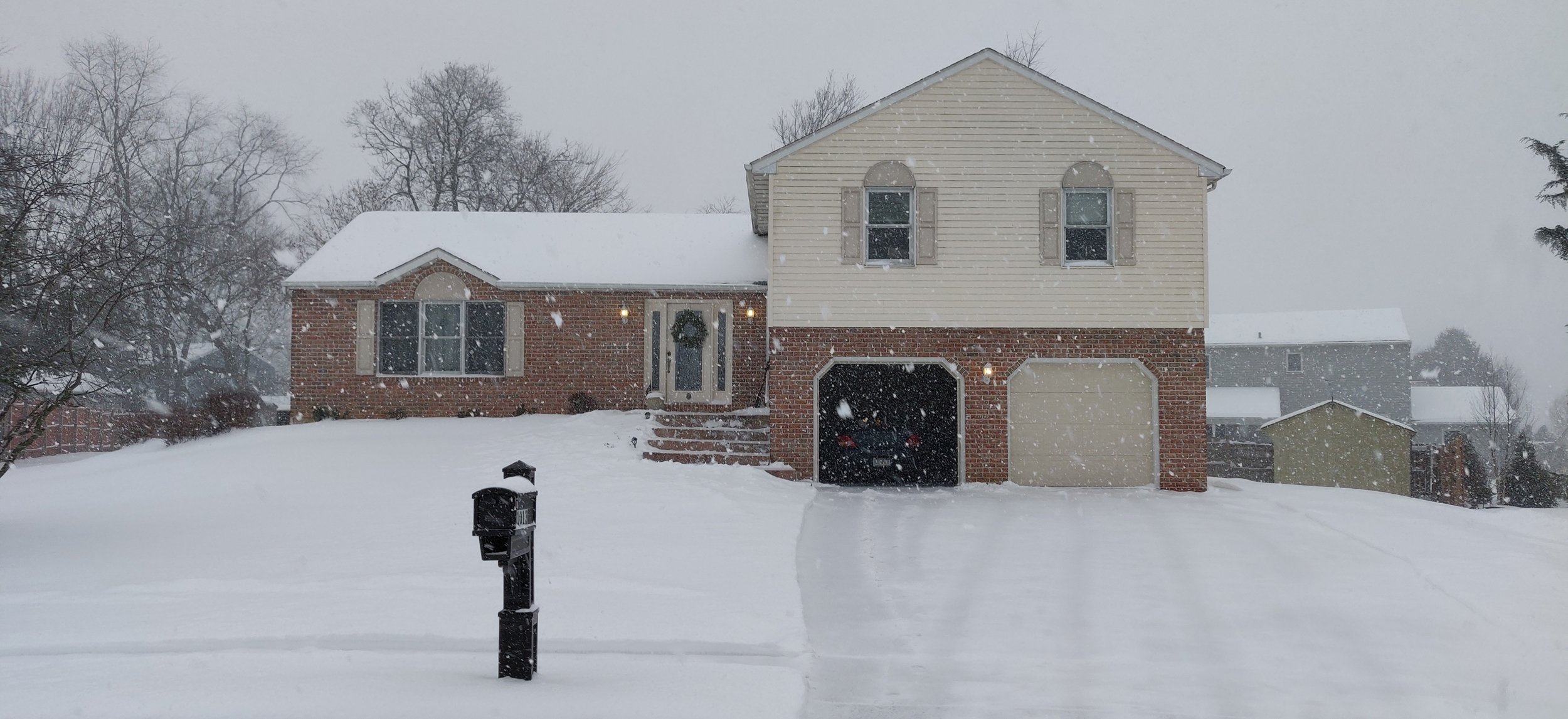
Nice! Here's mine:

-
1
-
-
Just now, Newman said:
No, I think that has to be overall storm totals.
I'm not sure about that. I'm already over 12" here in Reading...
-
1
-
-
1 minute ago, LVblizzard said:
I don’t have a ruler at work unfortunately
 and I can’t really tell since we’ve already shoveled a few times and there’s piles everywhere.
Just measured about 12.5" on my back deck here in Reading.
-
Work just got cancelled again for tomorrow. Two snow days in a row! Can't remember the last time that happened. (Work is in SNJ but a lot of ppl have over an hour commute so that's why they pulled the plug I think. Nice change of pace to work somewhere that actually cares about their employees.)
-
Just measured 4" of new snow since I cleared the driveway 3 hours ago. Puts me right around 10" so far.
-
1
-
-
Looks like we're transitioning from tiny flakes to bigger ones again. Rates increasing as well. 28.7°F.
-
Pancake flakes have moved on. Now getting light, fine flakes. I think it was snowing ~1"/hr for a couple of hours though; might head out to clear the driveway again in a bit.
-
Enjoyed a hot cup of coffee from my backyard shed. Still chucking down huge mammoth flakes mixed in with pingers.

-
2
-
-
-
Huge pancake flakes mixing in with the sleet now. Just cleared the driveway, looking like it's already caving lol
-
1
-
-
3 minutes ago, Mevwx said:
Consensus was that heavy snow would be in south east pa by 10 am. I’m not seeing any post history that this would happen except for one person who said to expect people to bail early. Huge mismatch between sentiment over last 24 -36 hours and observations.
My parents report nothing falling in Oxford, PA. Up here in Reading, steady pingers on the windows mixed with light snow atm. 25.3°F. Thinking about firing up the snowblower for an initial pass on the driveway/sidewalk.
-
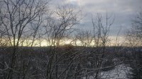
I think you can juuuust see the coastal development creeping up the DelMarVa now.
-
Massive dry SLOT here in Reading. lol
Got about 4" of snow so far, not too shabby. Hoping for more tomorrow.
-
2 minutes ago, hazwoper said:
NAM is a beautiful
Haven't we all learned by now to ignore the 06Z and 18Z NAM? It's like, why even bother looking at them since they are purely computational and based on old data. (At least for these types of systems.) Nice to see it come back though, ngl.
-
1
-
-
45 minutes ago, JSharp said:
Approaching 3 inches in Chadds Ford, PA. If you want a laugh, go on to the Mid-Atlantic Forum. Warnings were downgraded to advisories for DC and Balt.
I don't want to laugh at that. I lived in DC for a time and it was magical when it snowed there. I'll be disappointed in solidarity if they don't get as much as "promised" from all of this.
-
Grass is finally covered. 22.6°F and moderate, fine snow. It's just beautiful outside.
-
1
-
-
Snowing again here. Very small flakes. Untreated surfaces are covered but can still see the grass through what's already fallen. Looks like maybe .5" accumulation so far IMBY.
-
1 minute ago, mattinpa said:
Please don’t worry now. The best snow will be tomorrow when the coastal gets going.
Oh I'm not worried, just slightly annoyed. Was enjoying some quality SnowTV with the wife.
")
-
1
-
-
Snow all but stopped here. One minute there were large flakes and just now it's barely doing anything. Hope this snow hole doesn't last long!
-
 3
3
-
-
Much bigger flakes mixing in now. 26.0°F.
-
1 minute ago, wkd said:
12Z herpes

My wife giggles whenever I call it the "herp-derps". But I certainly wouldn't say no to 26" IMBY...
-
Flakes coming down are kinda chunky, vaguely graupel-ish. I wonder if that's just the way these flakes are growing, because I'm not seeing any kind of warm layer nearby.
-
1
-
-
34 minutes ago, penndotguy said:
Where in reading are ya? My temp is 25f I’m out near Sinky
Muhlenberg, just north or the airport on the other side of the river. I think one of my outdoor thermometers is acting up because my PWS says 25.5°F. Maybe I just need to relocate the first one, it's under an overhang from my deck but I think the deck affects how it reads somehow... Also I just installed the PWS so I'm not used to referencing it. Just my usual indoor/outdoor La Crosse dealie that sits on my desk.
-
1
-


January 31-February 2, 2021 Major Winter Storm Observations
in Philadelphia Region
Posted
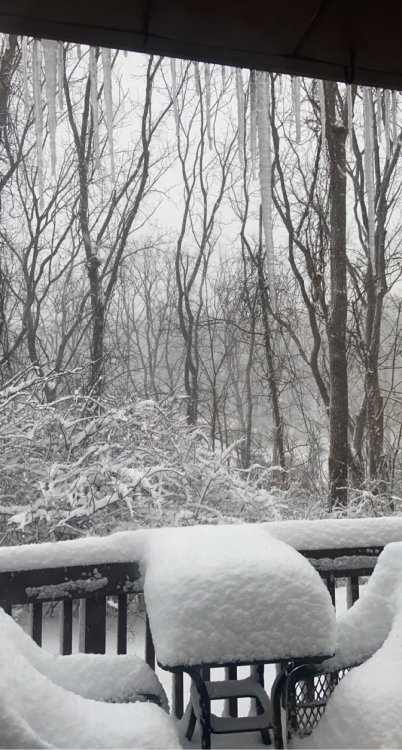
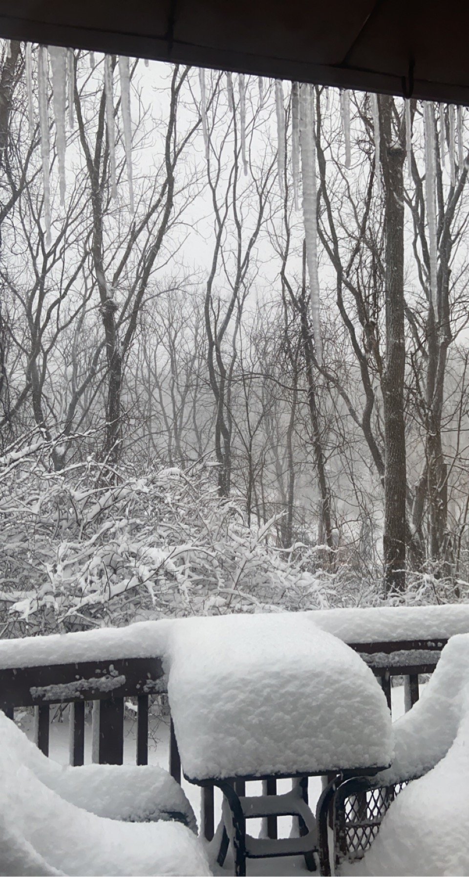
Measured 17" on the back deck and ~16" in the middle of the front yard. Still snowing moderately.