WxUSAF
-
Posts
26,753 -
Joined
-
Last visited
Content Type
Profiles
Blogs
Forums
American Weather
Media Demo
Store
Gallery
Everything posted by WxUSAF
-
I was *this* close to yelling FFS out loud at the happy hour GFS turn a classic track into cold rain.
-
That seems to be the pattern today. Euro and gfs both did that. That might be the path to a light event. Seems the possibility to have the primary run under us is basically gone.
-
Is the December torch before or after the subzero temps and/or HECS. Asking for a friend, thx!
-
Plane took off. Happens fairly often.
-
Has a bit of a detached front end WAA piece which is good because it gets precip into the cold airmass. Quick snow and ice thump.
-

Mid-Atlantic winter 2019-20 snowfall contest
WxUSAF replied to PrinceFrederickWx's topic in Mid Atlantic
Thought BWI and IAD only reported a T. Thanks for correcting that wrong impression! -
East Maryland
-
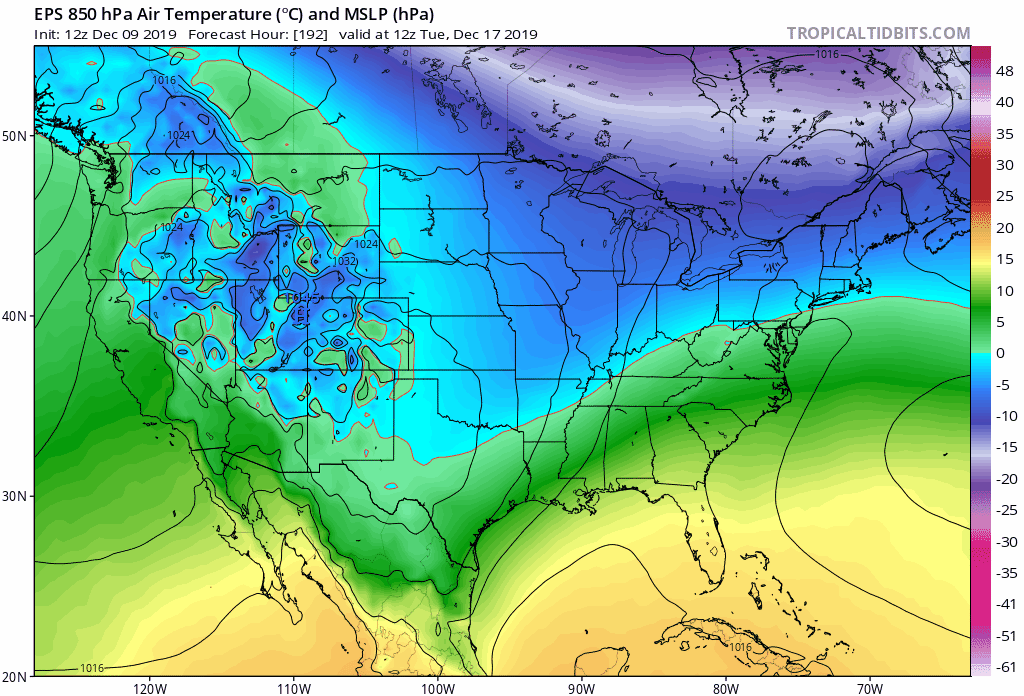
Don't know about snow vs. rain, but the EPS follows the trend of a shift southward. Interestingly (disappointingly?), look at how the 850mb temps on the mean don't really budge in our area despite the track changes. But the arctic air aloft has moved south in Canada clearly. The 850mb warm front is pretty stagnant over the last few runs.

-
Move that GOA low a few hundred miles westward and it would be time to pitch an 8-person tent
-
Mid Atlantic 2019/2020 season snow totals
WxUSAF replied to Midlo Snow Maker's topic in Mid Atlantic
DCA had 0.3”. Oof that’s REALLY embarrassing -
When does the endless December torch hit my house on the 12z runs??
-
You’ll like the GGEM today. You’re snowblowing while DC and south is raining.
-
Light drizzle still accumulating!
-
Mid Atlantic 2019/2020 season snow totals
WxUSAF replied to Midlo Snow Maker's topic in Mid Atlantic
Despite that, by my calculations 0.2/0, December 2019 is now infinitely snowier than December 2018. -
In addition to a shift south, a clearer trend on the gfs over the last 24hrs is for a faster shortwave. I think that’s a good trend for us as it keeps it closer to this weekends storm and therefore closer to the cold air that storm brings in.
-
Mid Atlantic 2019/2020 season snow totals
WxUSAF replied to Midlo Snow Maker's topic in Mid Atlantic
12/11: 0.2" Losing to @C.A.P.E. and @H2O, how embarrassing. -
I think that perception is mostly a combination of confirmation bias and the fact that even in snowy winters, most of our winter precip falls as rain.
-
Same. Often seems off on its own. But at least by numbers, a euro-ukie blend solution is probably hard to beat at D5.
-
What time will the #snowtrain hit my house?
-
Looks like the I95 split hinted at by the euro and NAM before last night did occur with jackpotville locations around 1” and a secondary max of about 0.5” SE of the urban corridor. Biggest issue was precip dried out generally.
-
Based on pics my wife sent and nearby spotter reports, probably only 0.2” in Columbia.
-
At the top of the hour, SPC mesoanalysis put the 925mb freezing line from DCA-Annapolis and then NEward. 850mb SE of that.
-
Have no idea if this was expected, boom, bust, or whatever, but I'll take it to assume the HRDRPS was right all along
-
55 with light rain in San Francisco . 42 with light rain at home.
-
That’s sleet and rain that you hear