WxUSAF
-
Posts
28,347 -
Joined
-
Last visited
Content Type
Profiles
Blogs
Forums
American Weather
Media Demo
Store
Gallery
Everything posted by WxUSAF
-
Baffling.
-
0z euro with a cherry blossom-nuking series of hard freezes late next week.
-

April 8th Eclipse- Last Easy One To See In My Lifetime
WxUSAF replied to Interstate's topic in Mid Atlantic
-
79 at both
-
78 at IAD and 77 at BWI
-
April 8th Eclipse- Last Easy One To See In My Lifetime
WxUSAF replied to Interstate's topic in Mid Atlantic
I was in upstate SC and also stayed in the path. We drove about 10-15 mins to a park and it was very smooth. This time we’re staying in the path in TX but I’m helping at one of the events near the center so we’re driving about 40 mins west. I’m a bit nervous about the return trip in the afternoon/evening… -
We’re going to pop a “surprise” 80-84 tomorrow or Thursday aren’t we?
-
12z GFS aleet aleet
-
It was the least windy winter on record apparently!
-
Ha true, didn’t even think of that
-
Windiest day of the year on recycling day = a neighborhood full of blowing trash. Particular shout out to the neighbor who had a huge pile of shredded paper loose in their now tipped over recycling bin.
-
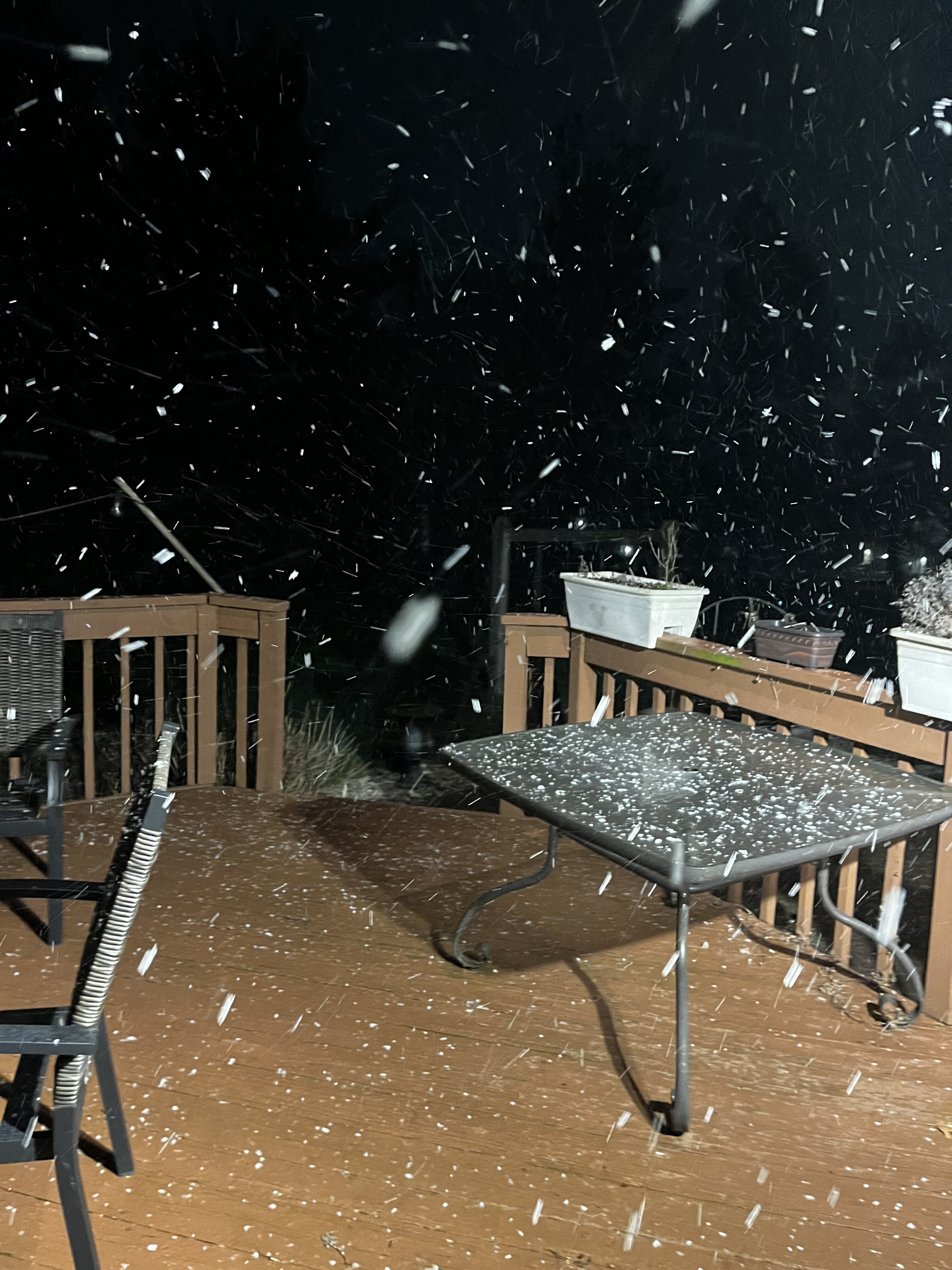
Beautiful. Temp down to 35 in the snow.
-
More flizzard in Columbia
-
Legit flurries now
-
Possibly a few tiny snowflakes in Columbia
-
Thunder in Columbia
-
Aside from the fact that its lobbying is helping to keep people have to keep filing complex tax returns, TurboTax’s software is just shit.
-
40F with light rain. March!
-
What Went Wrong in Winter 23-24/Base State/Will It Ever Snow Again??
WxUSAF replied to WxUSAF's topic in Mid Atlantic
-
March is #TheWorst!
-
2024 Mid-Atlantic Garden, Lawn, and Other Green Stuff Thread
WxUSAF replied to mattie g's topic in Mid Atlantic
Maple buds are really starting to show. Cherries too. -
Don’t know about snow, but I think a few hard freezes seem likely. Plenty cold to kill the magnolia tree blossoms that are going to come out next week probably…
-
Gorgeous sunrise alert
-
Despite a dry February, I think we’re pretty good with a major AN December and January. Plus guidance suggests 2”+ over the next 10 days after today’s rain. But I remain ever vigilant