

moneypitmike
-
Posts
29,870 -
Joined
-
Last visited
Content Type
Profiles
Blogs
Forums
American Weather
Media Demo
Store
Gallery
Posts posted by moneypitmike
-
-
4 minutes ago, SR Airglow said:
I'm not ignoring for BOS but I think CT is probably too far west to do double digits with this one. You and I are probably good for a foot I'd say.
This. Perhaps 8-12 on the mid-coast.
2 minutes ago, TauntonBlizzard2013 said:This storm is going to be a monster regardless of its impact on us.
Obviously the snow amounts look to be taking a significant hit, but the storm itself will be impressive.
If a tree falls in the forest......
-
 1
1
-
-
-
Well, that's pretty underwhelming.
-
Of course, GYX also has this one.
")

-
Model wars. We'll see what GYX does with these after seeing the EC, and the 18z NAM and RGEM.
They seem less interested in wind than BOX.
.thumb.png.a23bca6b5958c5d8f719875b35386435.png)
.thumb.png.57c64fa14b72b1413089e43cbd1dacff.png)
-
3 minutes ago, Damage In Tolland said:
Sipprell gone wild .. SGW
Highlights...

 - Potent snow storm, potential blizzard Monday night into Tuesday

 - Moderate to heavy snow, some locations seeing upwards of a
   foot perhaps two feet, 1-3"/hr snowfall rates, plus winds
   could yield blizzard conditions with visibility less than a
   quarter of a mile

 - Around southeast MA a pastier, sticking snow, plus winds,
   tree damage and power outage potential

 - Strong to damaging winds, E gusts up around 60 mph possible
   for E/SE MA coast, brunt of the winds around Tuesday morning

 - Impacts to the Tuesday AM commute with difficult, near-
   impossible travel.

 - Especially the Tuesday morning high tide, strong E onshore
   flow yielding around a 2 to 3 foot surge, splashover, minor
   coastal flood issues, especially ocean-facing shores,
   vulnerable areas impacted by earlier storm systems

*/ Overview...

Potent snow storm forecast, potential blizzard. Rex block held firm
over SE Canada, stout H5 ridge in advance, yields slowed progression
upstream. Opportunity for S-stream to cyclonically pivot round the
diving Central N America PV-stream along the 310K isentropic surface
initially rather than phase. Last several model runs, N-stream cold
punch has evolved further W (H85-5 thermal fields), potency of the S-
stream ramped up, aforementioned PV-stream connection delayed until
further downstream over SE Canada, energy wrapping in, phasing later
in time. But how far out is the S-stream steering with respect to
our coast?

For now, looking like a good punch for E/SE-coastal MA, near-classic
Cape Cod type storm with 40N / 70W benchmark passage. N-stream
entrenching as the S-stream gets pulled back. Clipping New England
with significant outcomes, streams pulling together over SE Canada
yielding a slower moving, bigger storm.

So what`s in store for S New England? As mentioned, sharpness and
potency of S-stream noted in last several model runs. Inflow along
the cyclonic warm conveyor belt pronounced beneath cyclonic pivoting
of energy. Beneath broader diffluence, ramped-up cyclogenesis, the
surface low with pressure falls 3-4 mb/hr dropping to as low as 970
mb near the 40N / 70W benchmark SE of Nantucket, isallobaric wind
response, conveyor belt motions amplified (H925-85 E wind profile 60
to 75 mph across E MA, +3-4 standard deviations), do expect thermal
packing along with strong lift / forcing brought about by trowaling
moisture (precipitable waters 0.50 to 1.00 inch, +1 to 2 standard
deviations) up against the cold conveyor belt. Resultant fronto-
genesis along 285-305K isentropic surfaces back into S New England.

Subsequent SW-NE snow-banding signatures initially, orienting N-S
with time all the way back as far as the Berkshires. Strong omega
through the column, upwards 50 microbars per second especially over
SE New England. Pouring snow for some locations, 1-3"/hr snowfall
rates. Parent S-stream cold conveyor belt chilly enough, colder air
brought down from aloft via intense precip, altering snow ratios.
Potential instability noted, especially along E/SE- coastal MA,
can`t rule out thundersnow given such along with deep cyclogenesis,
collocation of some measure of -EPV parent with low to mid level
frontogenesis (some slantwise if not upright instability H5-H7).
Add in the winds, and the potential exists for blizzard conditions
as CIPS analog probabilities suggest.
Too bad you always dismiss him.
-
5 minutes ago, Hoth said:
I think it was a Mars lander.
Lol. I was thinking of that whenTip posted that.
-
3 minutes ago, dryslot said:
12z was not much different from 0z up here really.
So still make the trip?
-
Un.....everything is in GMT. No time differences anywhere.
-
How did the 12z models fare with their initial look st to he players?
-
When are the eps available?
-
1 minute ago, Typhoon Tip said:
Here's a wild science fiction plot ...
Supposin' the time-change f'ed up that run. Their model does this 4-D correction scheming, which is intrinsically containing some sort of time consideration ... 'what if' their ingest got weird because of we sent them our data at time they forget/or erred in correcting their grids for - ...
Key term....fiction.
-
14 minutes ago, bobbutts said:
This (experimental) graphic from GYX showing extreme uncertainty in the potential.. I'm looking at 0-18"

Despite the rather silly range of values there I think this is an excellent product.
Looks like 5-19 for me. Not a slam dunk decision to head up based on EC.
-
5 minutes ago, Baroclinic Zone said:
12z GEFS look sweet. Looks in line with OP run.
Another 25-50 mile west would bring tears of joy to many.
-
 1
1
-
-
4 minutes ago, dryslot said:
12z Ukie qpf

That deflates a lot of weenies. As goes the UK so often the EC follows.
From a trends standpoint, how does that compare to the 00z UK?
-
28 minutes ago, weathafella said:
I thInk half of it is acting younger. Weenieism helps. But your words made my day! (Well the NAM did but you get my drift...)
LOL.
I wish I could see the the HRDPS out another several frames.
-
1
-
-
-
Nice jp along the coast. Pit2 leaps for joy. Look to head up after work tomorrow.
-
5 minutes ago, dryslot said:
Just catching up, I have not seen much guidance over the last 24 hrs, No cell towers yesterday in the Maine mtns.............
I think you'll enjoy the recap.
-
2 minutes ago, mahk_webstah said:
yeah thats a problem...its the start of a 10 day around the world trip and I work all day Thursday in London. Was hoping the int'l flights would get priority to land.
Isn't it great racking up the frequent flyer miles for free trips you have no desire to go on because you just want to be home when the work trips are done?
-
1 minute ago, WthrJunkyME said:
Happy to see a bunch do well. We’ll just sit back quietly and bust over our 100” total on this one.
I had not been up there for measurements along the way--but until the couple weeks leading to last week's storm, things did look pretty good up there.
My effort to get the family excited to drive to Pit2 tomorrow night for a snowstorm went over like a lead balloon. I hope I can finagle at least a solo trip.
-
1 minute ago, JC-CT said:
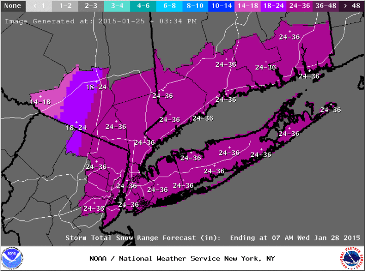
upton just released their new snow map. pretty bullish
LOL--that's playing with fire. I hope that's their high-end map.....
-
3 minutes ago, DomNH said:
Last week was fun but I'll pass on the 1-2' depth in mid-March. I am just getting caught up on the models this morning and I don't think I can wish this one away.
I'll never pass on the storm. But, to the point of depth, give me the big storms in December. March pads season totals but it's short-lived once the storm passes.
-
1 minute ago, Weenie said:
Hey guys, new account here
Anyway I think the NAM 3km has some goodies in store. Also, what's a deform band?
Welcome.

.png.14bd1de3c4e2012cad576f8dfda622f7.png)
.png.2a155dbdd93d02dfc31d69f99943548f.png)

March 13th ... west Atlantic bombogenesis type low clipping SE New England, more certain ...may be expanding inland
in New England
Posted
Over an inch for much of NNE.
Jump or cling to the NAM. your choice.