LP08
-
Posts
3,720 -
Joined
-
Last visited
Content Type
Profiles
Blogs
Forums
American Weather
Media Demo
Store
Gallery
Everything posted by LP08
-
Its not even in the same ballpark as the GFS at H5.
-
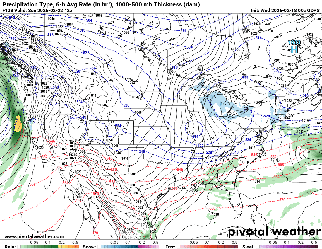
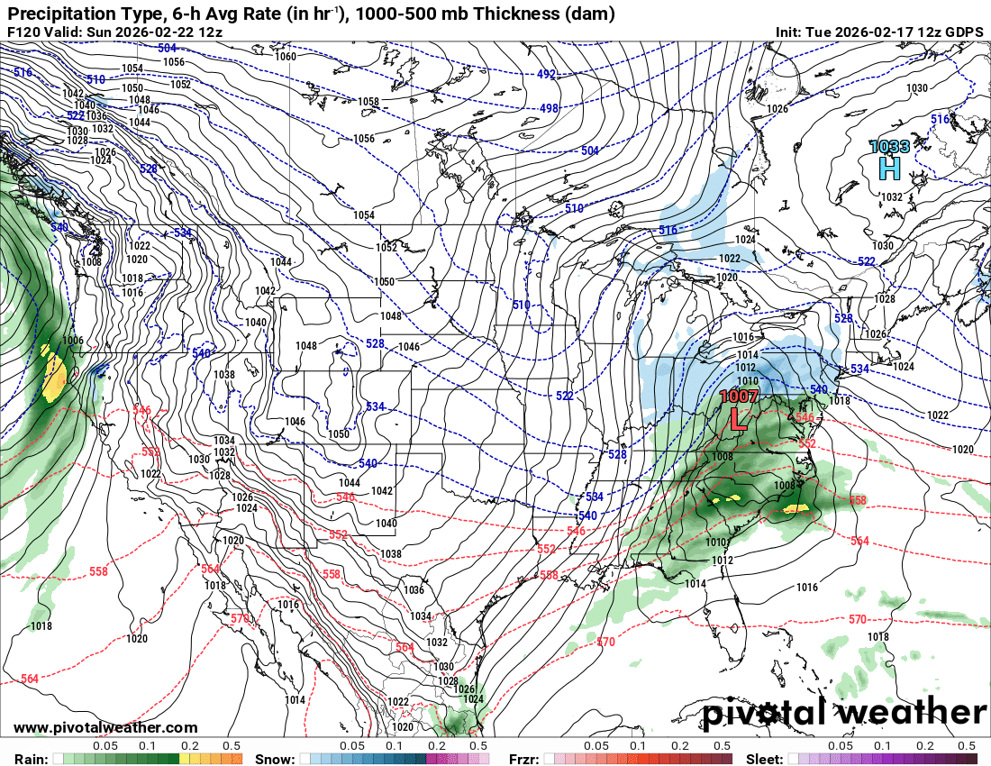
Clicking through the Ai, it’s awfully warm along 95 during the “snow”. Starts at 35-36 and drops to 33 during the best of it towards the end. I’d be cautious with that as well
-
Ukie a whiff east, just too broad
-
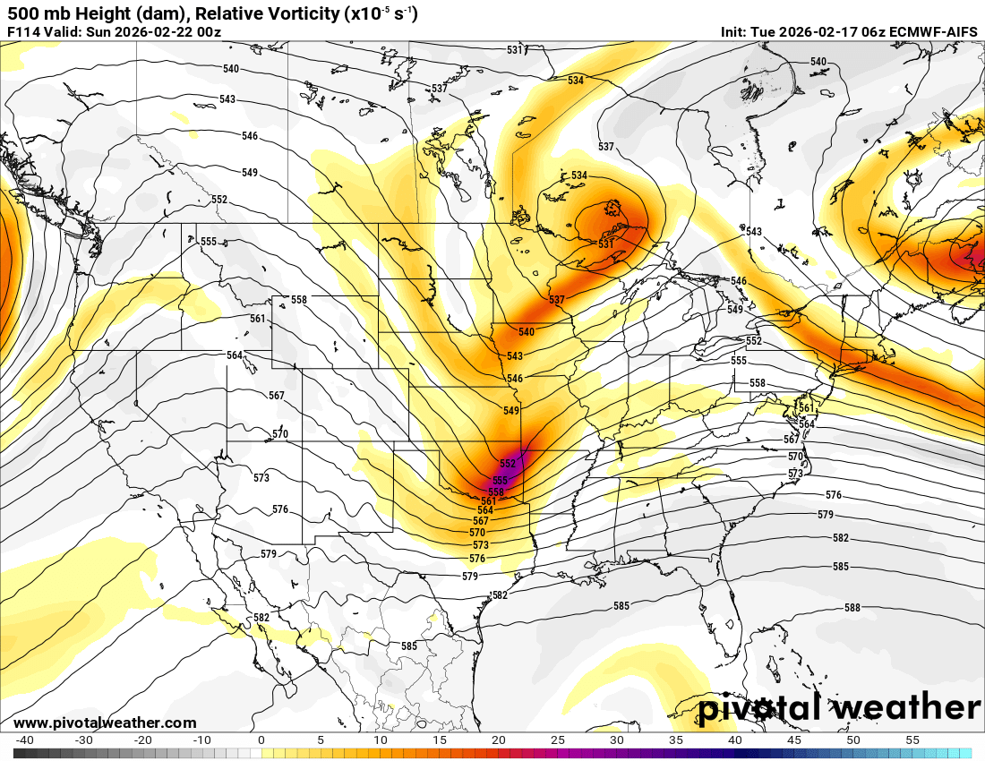
Too many vorts to call any one solution more realistic than another. The setup is there and it just comes down to interactions and spacing.
-
It’s sloppier at h5 at the critical moments. It’s ok to say it’s not as good as it was.
-
H5 was wonky but less confluence helped it gain latitude on the cmc
-
Rgem looks good to my eyes.
-
Icon looked a little worse at h5 than 18z. Further east
-
Damn 3.1” of liquid at Salisbury and 27.5 of snow. Watch yo roof!
-
It’s a hit
-
Surface stays east, though. May need to go back to H5 school. lol
-
To me the ICON looks better at h5 than 12z.
-
UKIE looking CMC like, mabye not quite as amped but a good step.
-
Definitely, Probably light rain to fatties during the transition. Just need the heavies
-
Closed H5 low going right across the NC/VA border. Sweet.
-
Rain in the cities at 102, snow west of there, super amped.
-
CMC looks real good at 96
-
As noted previously, CMC looks like the RGEM through 84.
-
Need this thing to really amp and wrap up. Surface temps are terrible even with the digital blue. A nice step forward for a change though.
-
Nary a sprinkle on the Ukie either. Did we miss a hurricane hunter plane out there today? Everything looks extremely similar minus the Ais.
-
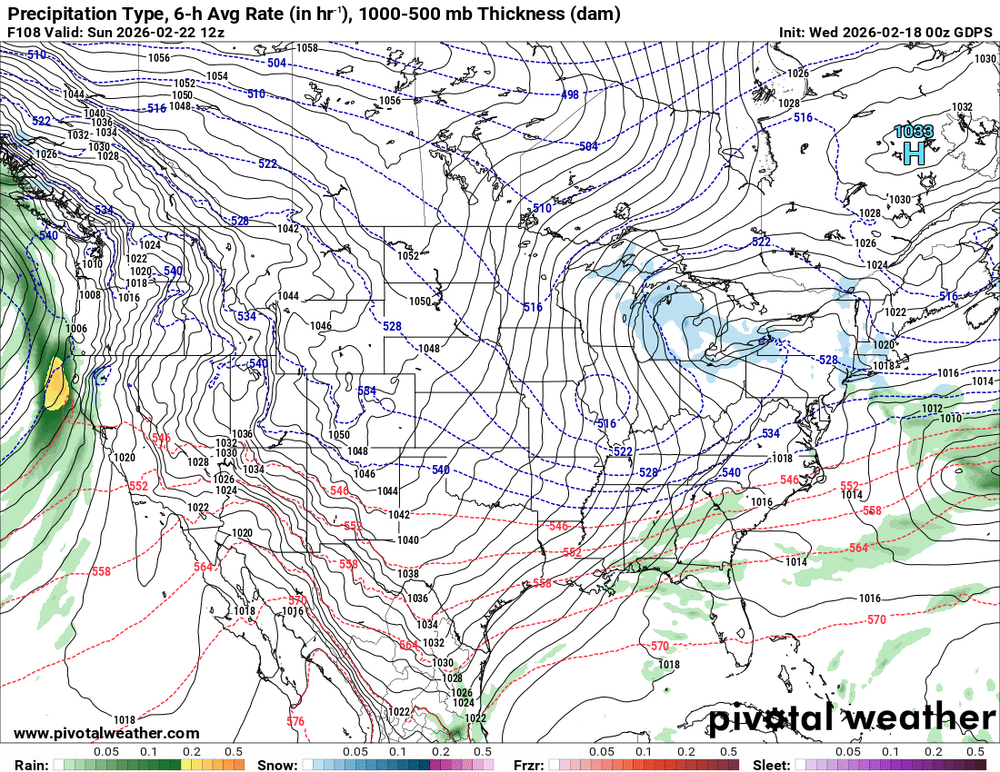
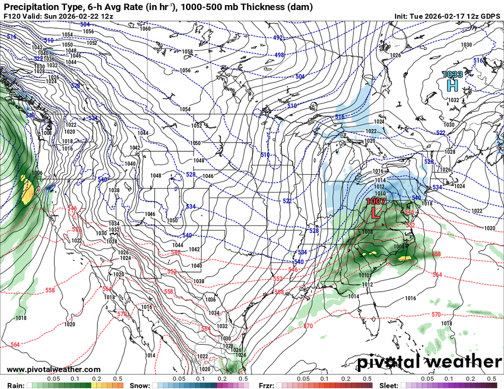
12z to 0z.
-
GFS is awfully flat through 93 compared to 12z.
-
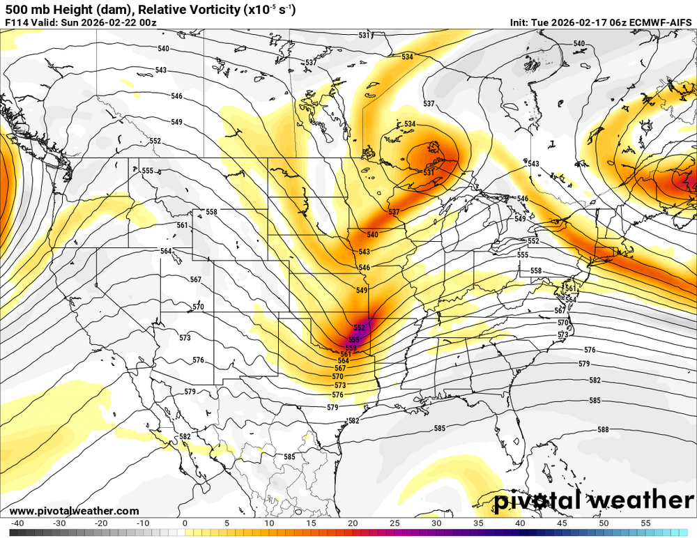
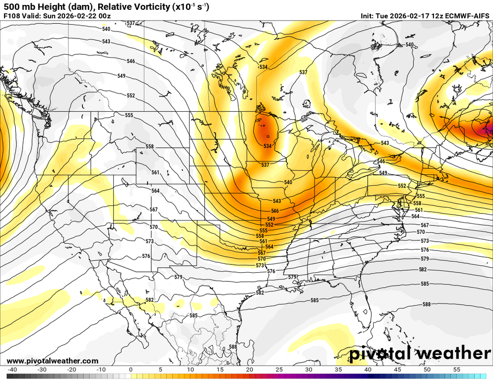
Pretty big change at 108 for the strength of the SW.
-
I could see it start out 8-1 and if we get into a consolidated CCB, we have historically done ok in those with 12-1 or so. PSU and Mappy Land will exceed that. IF it happens at all.
-
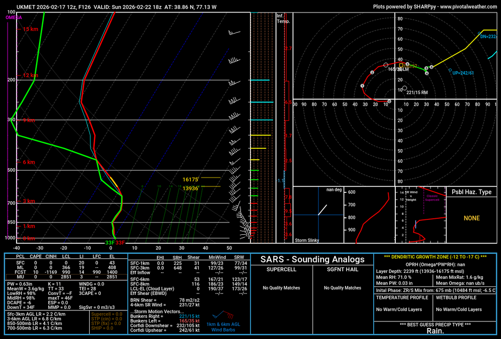
Based on soundings (yes I'm bored and looking at UKIE soundings), its snow from HR126 and later. Such a shallow warm nose and the surface is 33-34 to start