weatherwiz
-
Posts
79,817 -
Joined
-
Last visited
Content Type
Profiles
Blogs
Forums
American Weather
Media Demo
Store
Gallery
Everything posted by weatherwiz
-
Elevated instability
-
Nieces graduation is outside tomorrow...this is going to be fun
-
I guess comparatively, Monday will be "decent" but that's not really saying much. I would think we still have a quite a bit of clouds around. There will be a bit of a breeze too, especially eastern areas and it will be a chilly breeze too. Not sure anyone really gets close to 70...probably 65-68 for warmest readings. At least it will be dry I guess
-
I think it has to do more with the fact that a temperature swing like that is like a shock to the body which can impact the immune system negatively.
-
Nope...he's had to hide it out in his bathroom a few times. Him and his wife just put on a hockey helmet and bunker in the bathroom lol
-
My friend got lucky. He doesn’t have a basement where he is and it passed about 7 miles southeast of him
-
Not sure if this will work but IMG_8153.mov
-
Friend in Arkansas in a tornado warning. Sent me a video with sirens going off. It’s going to pass extremely close to him
-
Anyone familiar with GIS? One of my two courses in the Fall is Principles of GIS. GIS looks sick and really cool...I just am absolutely, abysmal and not equipped for coding so I'm a little nervous I've tried a million times to try and learn/understand python and get nowhere.
-
Our perceptions have become so extremely skewed. I mean think about how much talk there has been about heat/humidity (and the lack of). I mean its freaking May, especially when it comes to humidity. It seemed like in the 90's and 2000's (only using this period because well it's what I am old enough to remember) we really wouldn't get "humid" until like later June or early July and it was generally 60's dewpoints. We wouldn't sniff 70 until late July or August. But its freaking May 19 lol. I'd say this has been about as "normal" as a Spring can be for this region. We've had a share of shit days and a share of great days. The warmest days have seen many spots get well into the 80's.
-
Pretty much a lock. At minimum Marchand just needs to play in 2 games against the Canes.
-
7 in a row. Them and the Avs both hold that current streak.
-
Pretty nice morning... unless you're a Toronto Maple Leafs fan
-
68 isn't bad by itself...but its a different feel when you have thick overcast and a breeze. 68 as a room temperature is comfortable, but sit in the room with a fan blowing on you and that 68 isn't going to be as comfortable anymore (though I get some people enjoy that).
-
Avg doesn’t mean it can’t be cool nor does it mean it can’t be hot. if the average temp is 23 and it’s 23 outside, it might be average, but that doesn’t change the fact that it’s cold. if the average temp is 99 and it’s 99 out, it might be average, but that doesn’t change the fact that it’s hot.
-
And that's a scary thought.
-
Not looking likely. Continues to look like the Arctic/PNA domains are going to play a heavy influence at least into the first week of June. Maybe not so much the NAO or AO but I would have think some of the daily PNA values have to be nearing top 5 for the upcoming period. Going to be tough to get a really hot summer here, if for any reason we don't even look to be building any sustained or early heat in the southwest. There's been fluxes of some big early season heat in the Southwest into Texas but not sustaining.
-
doesn't feel like it with thick overcast and a stiff breeze.
-
It’s so chilly out this blows
-
I wouldn’t be fretting about temperatures this far out. If we end up with more clouds/precip the most extreme of the cool anomalies will verify, if we end up with less precip and sneak in sun then we end up probably within a few degrees of average (solely talking daytime temps here)
-
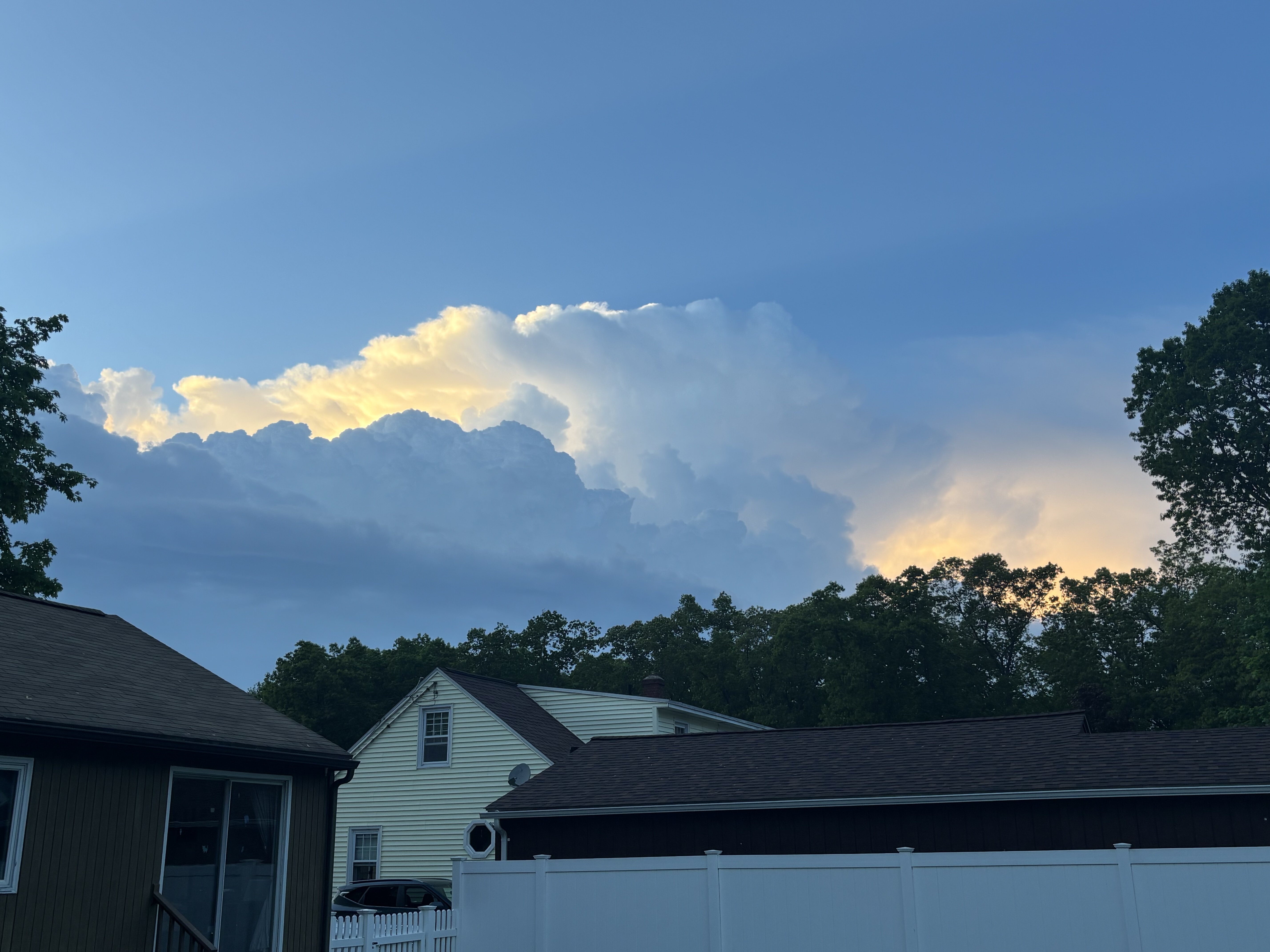
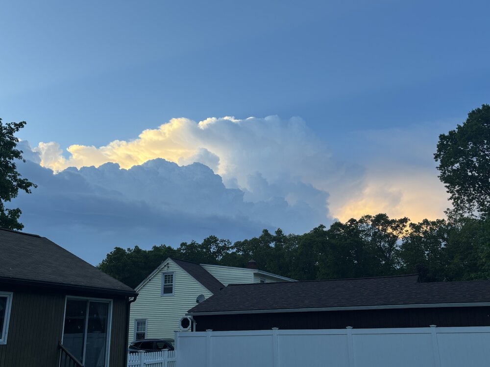
Nice view of the storms to the north
-
Are you going to the game in Dallas?
-
58 knots KDTO
-
Range folding going on. That’s a tough spot though for rotation from the radar sites
-
Eh I broke the rule of not animating…looks more like straight line wind signal