WNC_Fort
-
Posts
1,036 -
Joined
-
Last visited
Content Type
Profiles
Blogs
Forums
American Weather
Media Demo
Store
Gallery
Everything posted by WNC_Fort
-
What’s the trick for getting more moisture thrown back our way? ULL needs to be more SW?
-
I’m usually not this much of a negative nancy but I really just don’t see this one working for us.
-
Really thought we’d see more of the bigger totals eventually move this way. And I am still nervous about those minimas showing up on all the models. But, snow is snow. Let’s see where it ends up
-
Euro has that same weird minima over McDowell, Rutherford, and Burke
-
What’s causing the minima in McDowell and Rutherford counties on these GFS runs?
-
The “I bring the mojo” Jan 30-Feb 1 potential winter storm
WNC_Fort replied to lilj4425's topic in Southeastern States
Maybe we have a Tuesday curse. We lost last weeks system on Tuesday… -
Down to 5 degrees. Coldest reading for my tempest since installed in 22
-
Haven’t seen much to change my mind for the weekend. Seems like a late bloomer/eastern special
-
Miller-A storm would be much appreciated and it’s been far too long. But, I still think we miss this one to the east
-
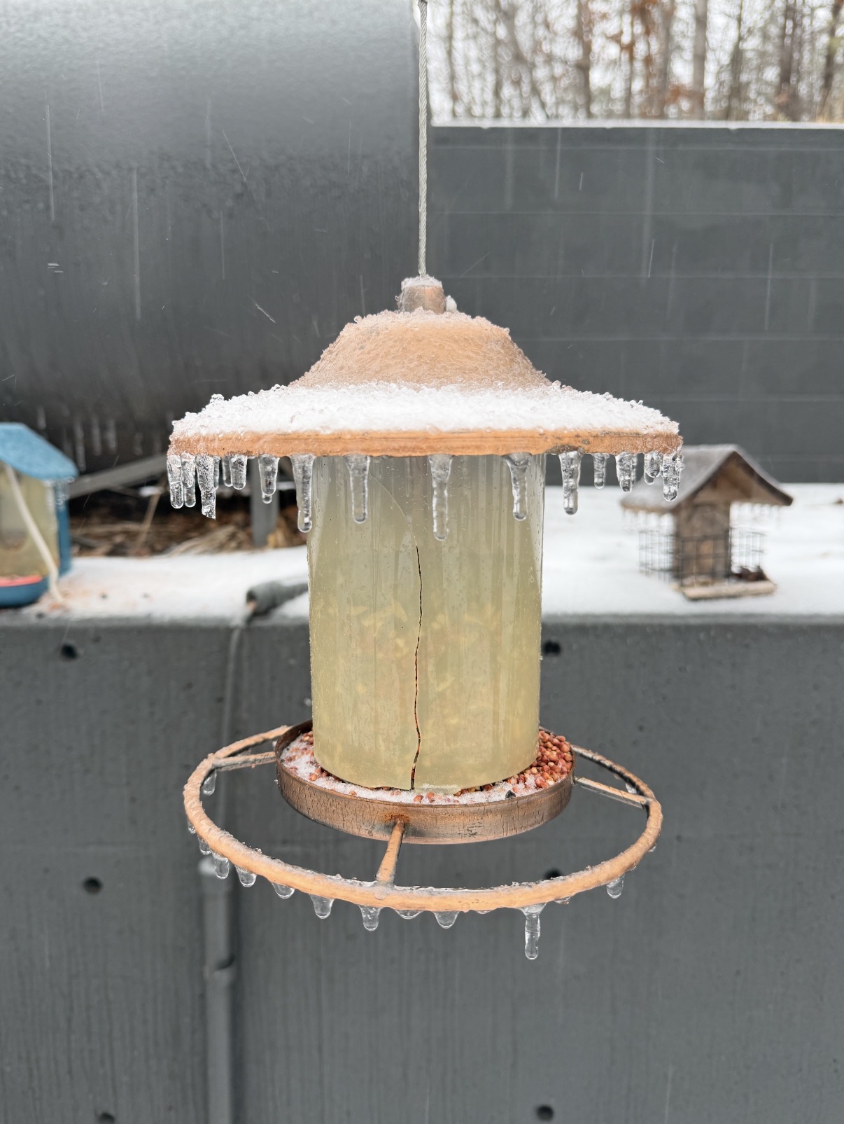
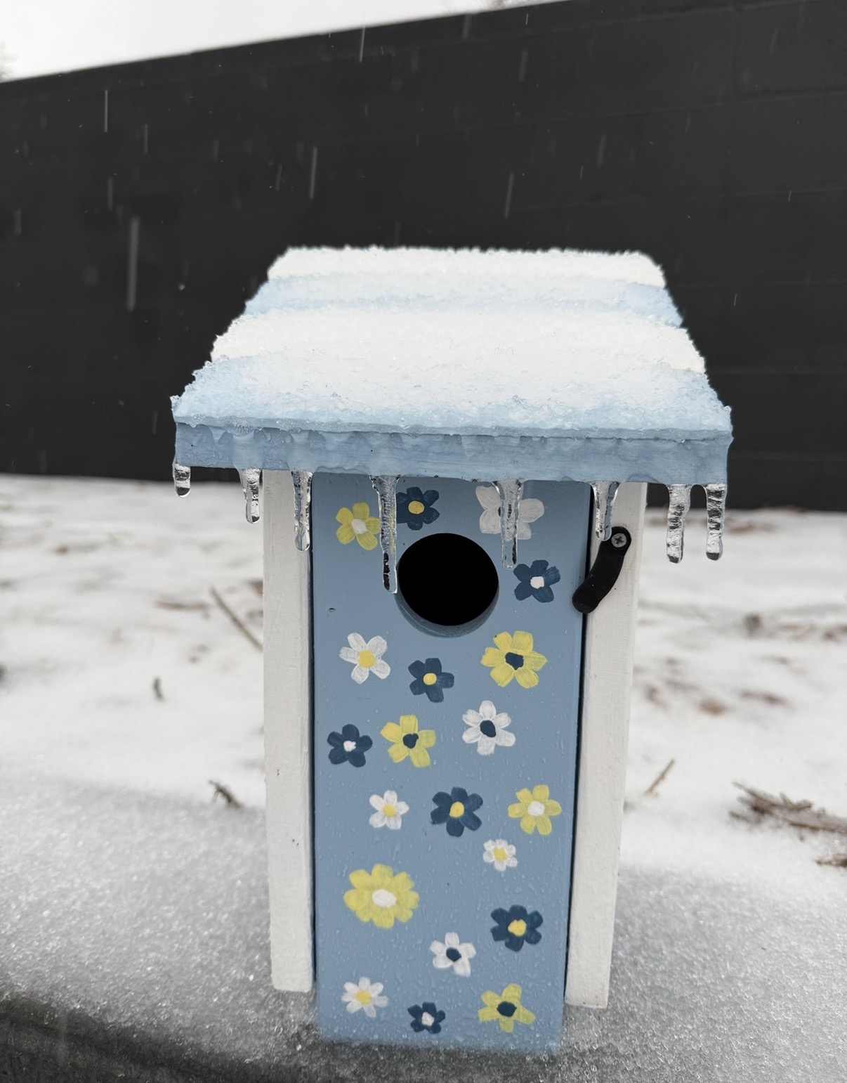
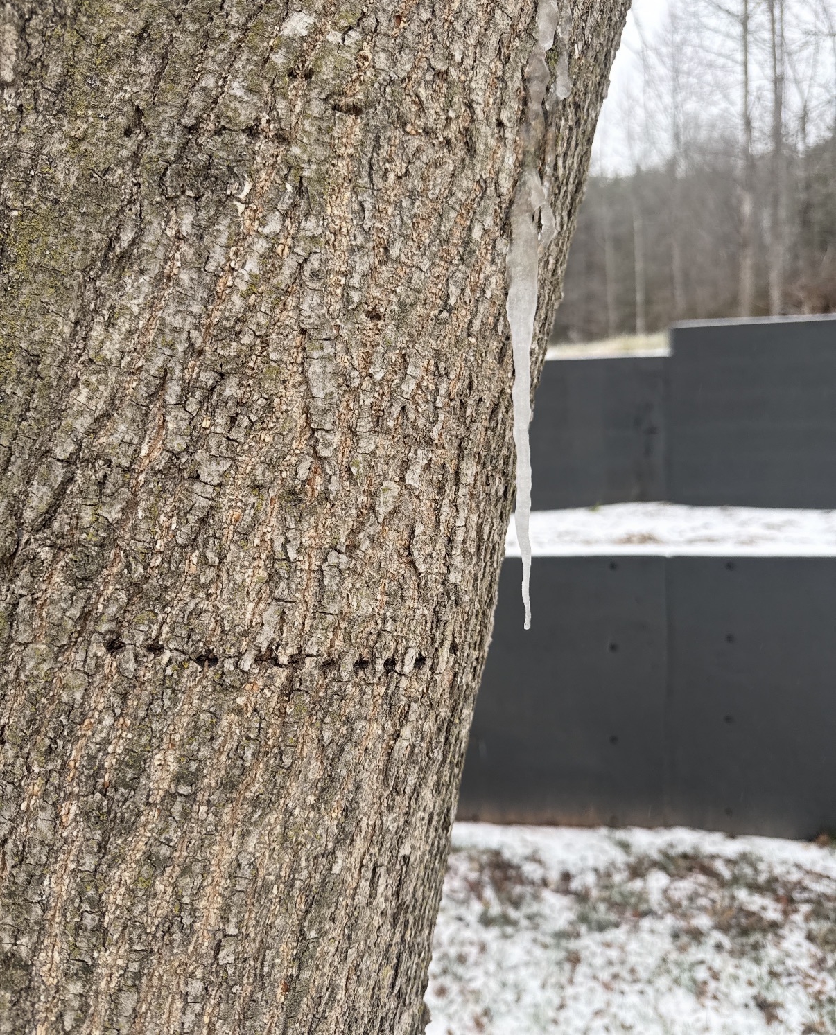
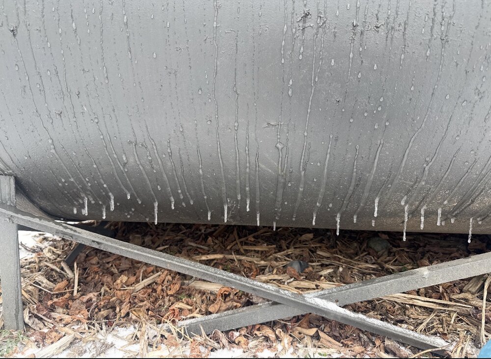
Wild event. Old Fort and most of McDowell county is a glacier. You make it to Black Mountain and you wouldn’t even know there was a storm
-
When is the wind expected to pick up/be gusty?
-
That last batch of freezing rain really started to make an impact quickly


-
Calling it almost quits here (other than the continuing accrual of freezing rain). Stuck at 30.5 degrees right now. But ended up getting a little over 2.5 inches of sleet.
-
All freezing rain. Wind. Can hear popping not good.
-
Mostly freezing rain. Back and forth
-
it is absolutely pouring sleet
-
Turning into mostly sleet under these heavier returns. Temp has risen a degree
-
75% rain, 25% sleet. 26.5 degrees. Not heavy yet
-
Still 26 here. Crazy temperature differences across WNC today
-
Looks like it’s about go-time for us still in the CAD. What falls your way should tell me a lot here
-
I believe this is a coastal system. Suppression will win here. Just my hunch.
-
Nothing on radar but steady droplets.

-
Boys. I might be cooked: icicles forming on trees and power lines
-
Where’s everybody at right now? I’m still stuck at 26. Would love to see if we could get some heavy sleet returns under that line. But, pass if it’s going to be freezing rain.
-
Yea. I’m still down at 26 and figure I’d warm before you did