

Tatamy
-
Posts
2,032 -
Joined
-
Last visited
Content Type
Profiles
Blogs
Forums
American Weather
Media Demo
Store
Gallery
Posts posted by Tatamy
-
-
1 minute ago, MJO812 said:
Models have already failed with the pre
Close to 1.50 for JFK
I checked the Davis site for stations in midtown. Multiple reports of 1.5 to 2” with one report of over 3”.
-
 1
1
-
-
2 minutes ago, hooralph said:
Flash flood warning now in Manhattan. FWIW, rain here is overproducing.
I looked at the Davis site for stations in midtown. Multiple reports of 1.5” to 2” so far. One report of over 3” posted.
-
12 minutes ago, psv88 said:
Isaias was a high end tropical storm here and it wreaked havoc last summer. High end tropical storms can do a ton of damage.
That was related to the sting jet that set up to the south and west of the center.
-
3 minutes ago, Snowlover11 said:
still not really sure what to expect, but ill tell ya one thing. out ahead of whatever comes out way it is down right disgusting outside currently.
Total opposite out here in Bethlehem PA. Full sun, hardly a cloud in the sky, and calm winds.
-
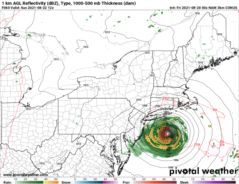
The NAM led the way east a few runs ago. Now the 06z NAM says I don’t think so. This track has been closely related to the intensity of the storm. In the 5am advisory the NHC noted that the shear is finally beginning to relax. I am guessing that the NAM is seeing that and the resulting greater intensity potential and hence the move back west. If the storm does intensify today there could be some potentially threatening model runs for LI and the remainder of the region. In any case the strongest winds with this event will be felt along the south shore and the east end particularly along the barrier beaches. At 5am the NHC discontinued the hurricane watch for most of SE MA including Cape Cod. They reiterate that conditions will be favorable for strengthening for the next 12-18 hours. Hurricane conditions are expected to begin late tonight or Sunday for parts of LI and CT. The next recon is due into the storm at 1200 UTC.
-
1
-
 2
2
-
-
23 minutes ago, David-LI said:
NAM 12k going for a Long Island landfall. Hope watches go out today so people that watch the news this afternoon and evening can be alert.
Makes landfall in the Hamptons.
-
13 minutes ago, mob1 said:
While wind and surge will likely be confined to eastern LI, we could have a formidable flooding event for other parts of the area. Slow moving tropical systems are trouble, we just need to hone in to where the heaviest rains will set up.
Not entirely correct. Wind will be more of a factor on eastern LI. All coastal areas will be be at some degree of risk from storm surge impacts. NWS is expecting up to a 2’ foot storm surge along the south shore of Nassau to 3’ out in the Hamptons. This is why they have issued a storm surge watch.
-
1
-
-
06z Euro goes into southern RI.
-
9 minutes ago, Rjay said:
Lol
It was at 915 mb at 45 hours while east of OC. Winds with that type of pressure would make this a Cat 5. Good thing it’s fantasy.
-
2
-
1
-
-
16 minutes ago, MJO812 said:
Check out the eps
Members from NJ to SNE
Wow. I am thinking we may be looking at a 100 mph hurricane east of the Virginia coast during the day on Saturday. Full moon aligns with high tide Sunday morning along the coast. I hope for the sake of the Metro area that if it hooks to the north and west it does so towards New England.
-
1
-
-
18z Euro comes further west. Landfall near Buzzards Bay and tracks NNW towards Worcester.
-
4 minutes ago, Rtd208 said:
Honestly I could see Tropical Storm/Hurricane Watches issued for the NYC metro tomorrow to account for the track uncertainty. Then the NHC could make adjustments as the track becomes more certain.
Hurricane watches for SE NE and Tropical Storm watches for LI to start.
-
18z HWRF is further east near Cape Cod while the 18z HMON landfalls in the Hamptons.
-
18z GFS is about 50 miles west of the 12z run with landfall in Buzzards Bay.
-
36 minutes ago, USCG RS said:
This is really giving me a C LI bullseye feel.
I am thinking anywhere between the Hamptons and Buzzards Bay. The wild card is greater than expected intensification Friday and Saturday and the potential for a hook to the left tucking it in closer to the coast.
-
2
-
-
8 minutes ago, Rjay said:
Yeah. I thought they did and will continue to do so.
That is why the Ukmet run surprises me. Once the data from first flight was uploaded the GFS went east. Maybe the Ukmet will go back east tonight. Let’s wait on the ensembles.
-
12z Euro continues to be east and weaker. 12z HWRF/HMON are aimed at the vicinity of New Bedford,MA. 12z Ukmet is west. Too early to write this one off.
-
1
-
-
1 hour ago, Rjay said:
We toss?
Haven’t they flown the Gulfstream jet out off the mid Atlantic coast to sample the upper levels? I think they were actually going to send it out again.
-
Latest discussion from the NHC indicates that Henri makes it’s closest approach to the region Sunday morning. It is projected to have winds of 85 mph with an expanding wind field. This aligns with a high tide in sync with a full moon. This is a recipe for significant coastal flooding.
-
2
-
-
2 minutes ago, LibertyBell said:
No wind and surge don't interest me, because I dont go to the beach. I would rather not have wind because I dont want my roof to be blown off- so it's a concern, but after Sandy I definitely dont ever want to experience winds like that ever again and probably wont. So I care about them in the sense that I dont want them. I love things I can actually see- like rain and snow.
Do you have any recollection of the surge impacts from Sandy? Those impacts spread beyond the beach. They actually spread as far inland as the NJ Turnpike near Secaucus plus a few other low spots.
-
1
-
-
3 minutes ago, LibertyBell said:
heaviest rains are 100 miles to the west with TC at our latitude, most of us care about rain not wind and surge. East of storm is usually boring with paltry rainfall totals
So you don’t care about wind and surge with a TC. Okay.
-
3
-
-
36 minutes ago, qg_omega said:
Need to be east of storm for any surge threat as well as wind
That is not correct. Any significant tropical or non-tropical system can cause surge issues in the New York bight. The center only needs to move northwards parallel to the coast or linger off shore in order to build high tides in along the coast. The Perfect Storm of 1991 was a good example. I drove along Ocean Pkwy during the event and the water was up to the shoulder of the road along the bay side near Captree.
-
2.95” with the overnight deluge out here.
-
2
-
-
Quite a deluge over the past few hours from the remnants of Fred. 2.64” so far.
-
2
-

Henri: Moderate-Major impacts NYC subforum this weekend, possibly into Monday August 21-23, 2021
in New York City Metro
Posted
Following two WU stations on BID as the NW eyewall of Henri approaches. Highest gusts so far are 54 and 56 mph.