


BlizzardNole
-
Posts
3,012 -
Joined
-
Last visited
Content Type
Profiles
Blogs
Forums
American Weather
Media Demo
Store
Gallery
Everything posted by BlizzardNole
-
What area are you moving to? I left Calvert for Germantown when I got a DC based job and it paid off in quite a few winters. One time I had 8 inches on the ground and got off the train at Union Station to bare ground and rain. Now I'm back in Calvert for family and space LOL Got to 40 here. I'm hoping to keep my flowering plants a few weeks longer
-
Yeah, moderate rain down in lower southern MD and radar looks like it lasts a while. Might be anafrontal rain? We are at about 1.1 so far.
-
Wow the heat came in like a wall! Time to get the shorts out
-
Stuck under cloud cover. Where's my heat?
-
Cloudy and a humid 63. Ready to go from sweating over the grill in shorts this evening to wearing a jacket tomorrow.
-
Thanks! I got about another 0.4 overnight and water is stilllll sitting on one end of my new garden bed. That's gonna be a problem. About 1.8 total here.
-
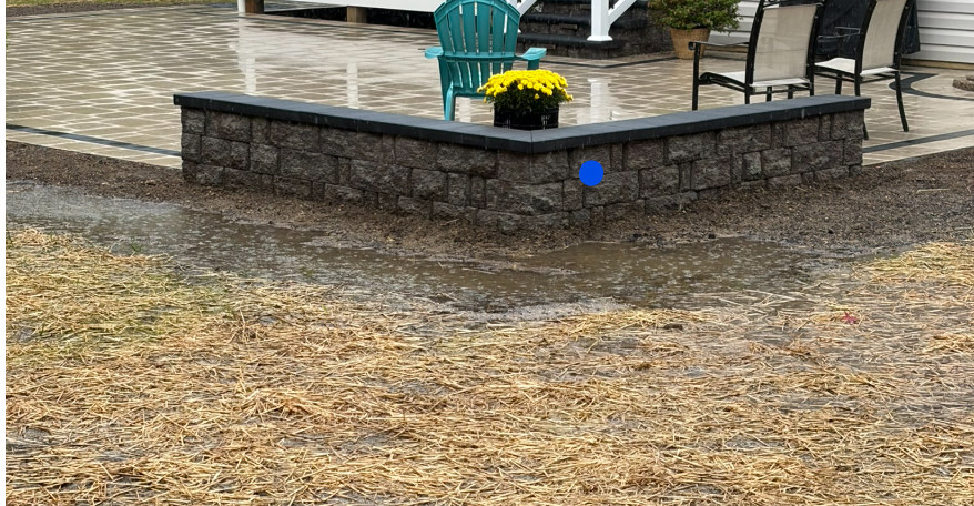
About 1.25 a few miles south of Prince Frederick. I might have an issue with drainage in this new garden bed. I mean, that's not that much rain
-
Yeah. CoCoRaHS has numerous 8-14" rain amounts over and east of Pensacola for the last seven days.
-
We just had some large swaths of the yard reseeded, and this light rain is perfect. Love seeing the new Mesonet stations up! Hoping to see some in Anne Arundel and St. Marys
-
Finally some beautiful weather starting tomorrow for a few days. Dig those shorts back out! Here a few miles S of Prince Frederick we got 2.9 inches from the system a week ago, and about a half inch from the noreaster. Aug and Sept have been great after months of severe drought.
-
VT at Boston College at noon could be interesting with rain and winds gusting to 50
-
Whoa! What's our Kuchera numbers looking like
-
2.9 inches total, all with light to occasionally mod rain. Absolutely perfect! Now I'm looking forward to the luscious weather later this week into the weekend. Get ready to fire up those grills!
-
1.5 between yesterday and today. Nice soaking rainfall
-
0.9 so far and spread out over hours. This was needed! It's been so dry here that dust kicked up just from walking on the yard.
-
I'm thinking your area does well with tonight/tomorrow's system with winds out of the ENE. Usually, you're in a rain shadow but that setup with moist air pushing against the mountains might be nice for you.
-
Agreed. That happened around Christmas 2015, and we were thinking we won't see a flake this winter...
-
I am enjoying one last sunny day before four straight dark, wet, cool days coming up. The best rain amounts with this pattern should be the normal rain shadow areas east of the mountains - that means you Stephens City!
-
We are on the schedule next week for our long-awaited patio install. It's gonna pour folks!
-
Low here of 57 a couple miles from the Bay. Some spots on the Bay were 63-65
-
So jealous of that big rain shield over SNE. I would have loved an all-day rain while watching football
-
Southern MD is slipping back into drought
-
I also like the look of the northward moving stuff over southern VA. Hope it holds together for later. It would be real nice if Sept cooperates so that the last two months of summer were above average rainfall
-
Basically most of this upcoming winter
-
Darn, my 90% chance for rain tonight is gone. It's getting dry here again



