CoastalWx
-
Posts
175,992 -
Joined
-
Last visited
Content Type
Profiles
Blogs
Forums
American Weather
Media Demo
Store
Gallery
Everything posted by CoastalWx
-
No they get crushed. They are a big upslope area. The land to the NW is flat in Canada and then you smack into 2-3K mtns.
-
This was via Wx2fish, not him but he thinks this may be near Diamond Pond.

-
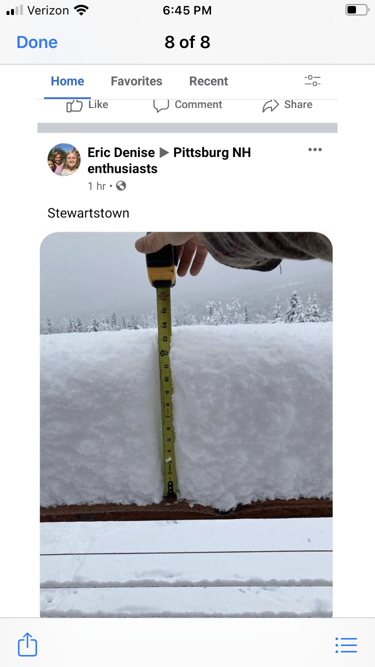
13.5” Stewartstown NH.
-
Well if something lurks maybe. Not sure what’s going on other than a signal for something beyond a week out.
-
Now we warm this week. Indian summer for many.
-
Gone.
-
There’s the two part jack.
-
Thanks. I didn’t look at it yesterday...probably could have been more bullish. But if it’s like near -1C at 925 with those dynamics and upslope, that’s a recipe for a paster even lower down. Certainly even a Littleton did way better than I thought.
-
That’s awesome.
-
10” 2250’

-
Around 8” at 2k near Pittsburg.
-
43 out and cold AF. Sun now.
-
I only have 1425’ more in elevation to steal. Doable.
-
Maybe being into the mtns on that wind trajectory was just enough for a bit of downslope in a borderline profile. Yeah seems like that CT valley area did well, esp the west slopes. I also think being NE when the atmosphere cooled from west to east didn't help as much. IOW, longitude ftw.
-
I thought you were lower, my bad,
-
I wonder what he has. Phin is nestled into the mtns too. I guess you really needed to be on west slopes for this one.
-
Ahh the old Logan11, house is 1500’ backyard 1700’
-
Colebrook 8”.
-
I thought he was 1300? Maybe that’s the coop guy.
-
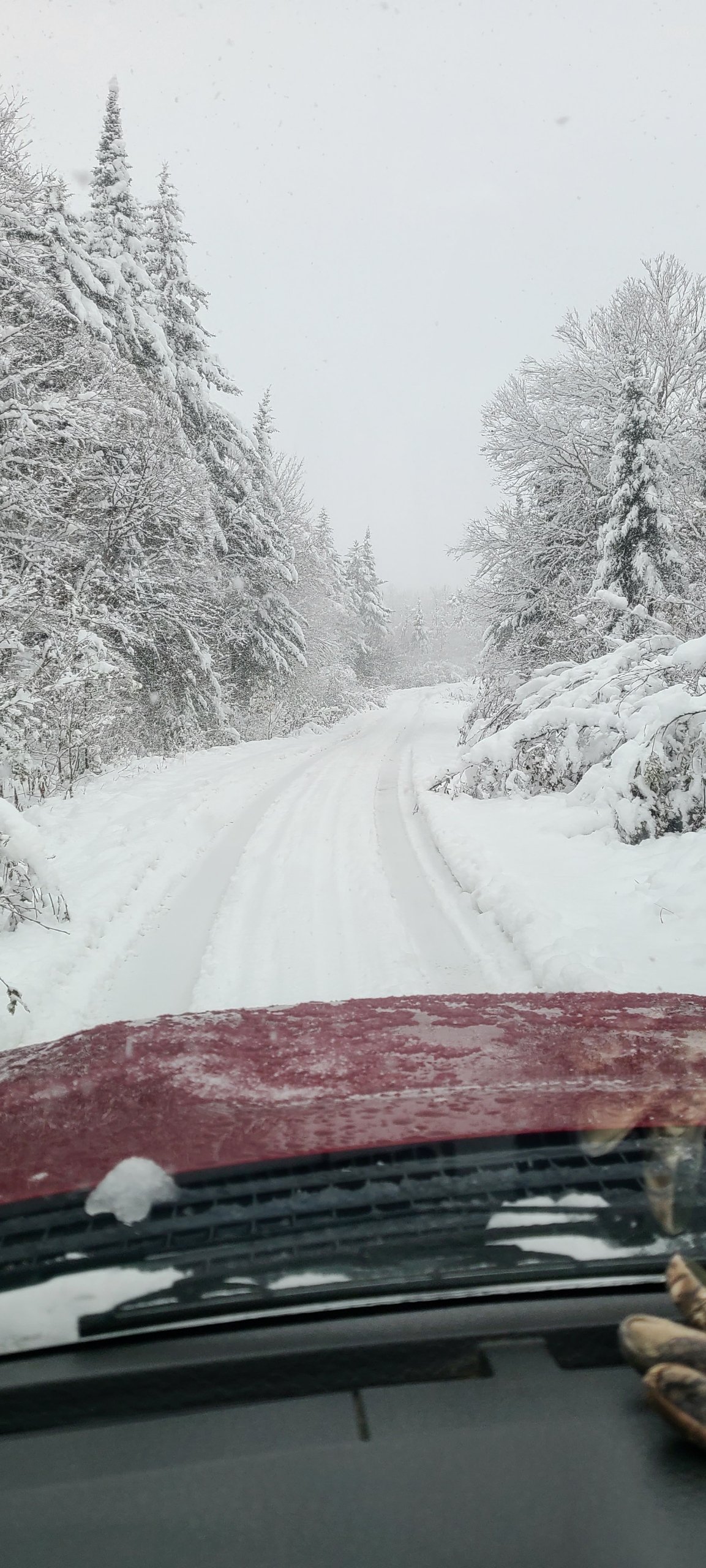
Ryan said 4” where he is and still coming down. Roads virtually impassible.
-
About 1.9 it seems.
-
Is that from him?
-
Phin is also a little lower in elevation too.
-
That is a beautiful CCB on GYX radar. It is absolutely pounding in the Maine mtns. Someone there will have warning snows.
-
Ryan in Pitt may end up near 5” lol.