

CoastalWx
-
Posts
176,940 -
Joined
-
Last visited
Content Type
Profiles
Blogs
Forums
American Weather
Media Demo
Store
Gallery
Everything posted by CoastalWx
-
Can see that hill from my neighborhood and that have 25" or so more lol.
-
Blue Hills with 60.7" of snow this season. Shit. 27" this month.
-
Yeah that's a pack.
-
Ukie looked nice for all. Hopefully a 2-4 deal for most to build.
-
I like to look at 700 and 500 and go from there. But, that is only as good as the model placement. If those features are off, banding will be off.
-
GFS albeit weak, did have lift in the DGZ.
-
Blue Hills 0.71" and 11.6" snow. Hingham, 6" and 0.61" liquid. Obviously near the water it was more 10:1.
-
The cross sections weren't all that helpful either. Lots of lift centered too far south and below the DGZ, but good fronto into and above the DGZ. I wonder if lapse rates helped in those areas that received good banding and induced more VVs through the DGZ compared to what guidance showed.
-
I know you do lol. Everyone likes trends for their backyards on here.
-
Agree. That's what I thought too.
-
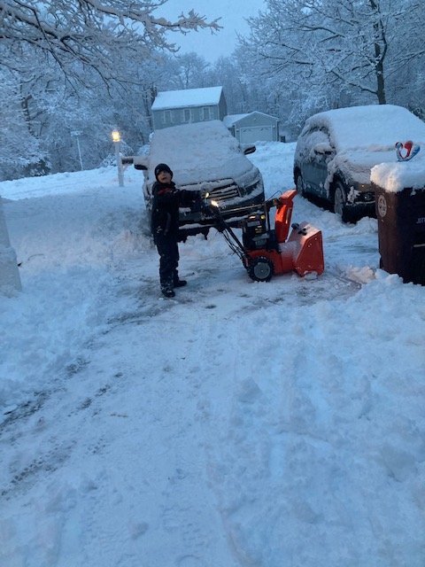
Some shots from yesterday. First one was Bryce before he broke my shear pin lol.
-
It almost would have helped to have a product with 600mb plots. I bet that was near where the band set up. Maybe 650mb.
-
That's how I feel. Another event 24 hrs to go and lots of wobbling.
-
I'm just busting Kevin's chops. I will say hi res models show the Pike to nrn CT as the dividing line.
-
So we praise it when it shows our snowy solution and toss when it doesn't.
-
Looks like snow pike north overall. Decent little advisory event.
-
And we all knew that band would set up, but the question was where? We probably would have had a better idea if guidance didn't wobble all over.
-
Well, it was a good run while it lasted.
-
Lets toss the NAM.
-
That’s where I am pretty much.
-
Power out ftl
-
8.5”
-
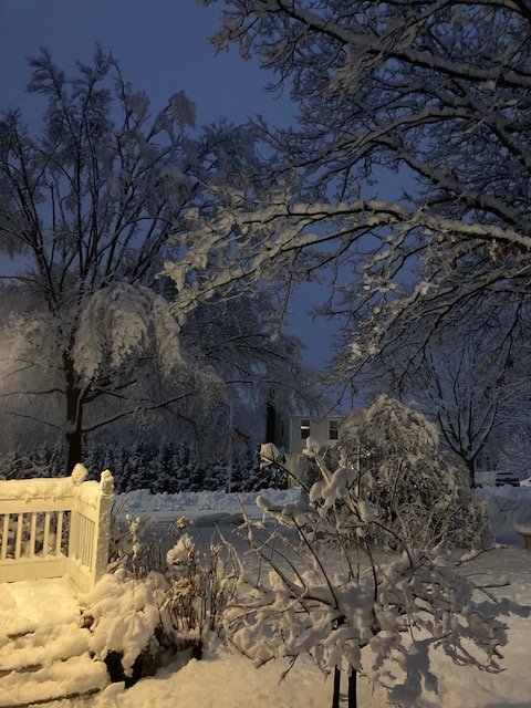
Yeah this is amazing. Everything is caked.
-
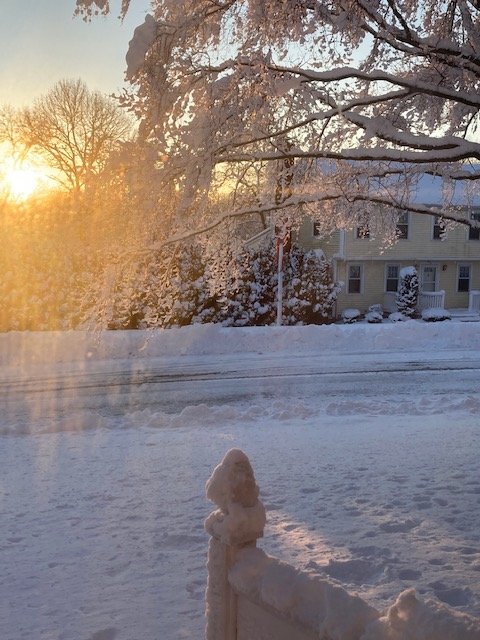
Wow that’s awesome. Good for you.
-
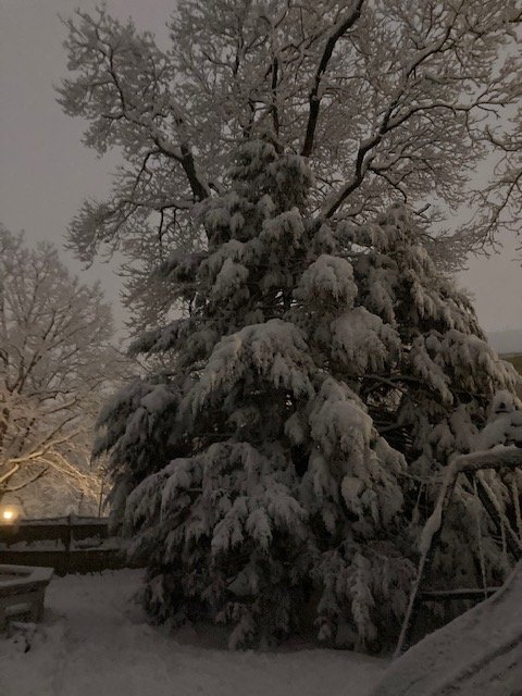
It’s amazing outside. My God.


