

CoastalWx
-
Posts
176,941 -
Joined
-
Last visited
Content Type
Profiles
Blogs
Forums
American Weather
Media Demo
Store
Gallery
Everything posted by CoastalWx
-
That was as close to 12/92 as I have seen since that date. I paid my dues.
-
I know! I mean if that wasn't pay back, I don't know what is. But then he turns his anger to Wilmington and gets all bent out of shape that they had 3.5" more. WGAF.
-
Ray, you may lose out to Will by 2" in a storm. When have you been completely porked?
-
You pretty much had what everyone else had yesterday.
-
We've been looking, but it's insane on the S Shore. We don't have a huge reason to move, just one of those cases where if the right thing came along, we'd make a move. The amount of people wanting to go over, waive inspections, pay cash etc. is nuts. It's also about what you are willing to live by. Chances are, you'll have a much tighter budget moving into another house given the prices. I think there is something to be said about finding a happy medium and being comfortable. Maybe that means you hold off a year or two until it cools.
-
How about 2" of rain?
-
More like a tug of something else. Only shot is CT and that is probably near Merrit south. Are you using the same goggles that gave 4-7" with lollies to 10" yesterday?
-
Maybe a half in on the islands where Ryan parties?
-
Fade
-
6z Euro looked a little better for Sunday.
-
Looks ugly on the euro next week.
-
I think that more south. Probably too dry.
-
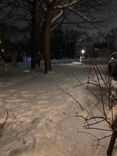
The snow still piled on the trees is awesome. I love that, big fetish for me. The day after Halloween was one of my favorites in a long time. Just caked onto everything with leaves on the trees to boot.
-
Not a sexy pack as some have, but must be at least 10-11" in the shady spots. Will have to check tomorrow.
-
I saw lakeville like 1.5”. Must have been just far enough north.
-
2.9 to be exact.
-
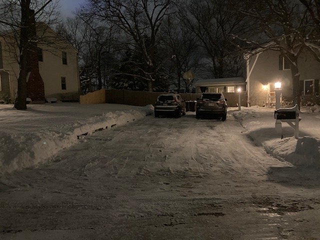
About 3” does it here
-
It never really had a chance on guidance.
-
Banding developing nicely as things start to curl a bit. Related probably to Will’s psychedelic graphic.
-
On one side is weenie, the other side is fanny.
-
1.4”
-
Bordering heavy now.
-
Over an inch now. Good snow. 26.
-
Looks like VD storm has VD on the models. Big boy after that, but may be a hugger.
-
Cool thing I witnessed regarding fluff vs powder. Initially the fluff was melting on the street. But once we got baking powder, caved almost instantly. The more densely packed baking powder takes more energy to melt vs the air-like ice crystals with very little water content that are dendrites. Was cool to see.


