

CoastalWx
-
Posts
177,031 -
Joined
-
Last visited
Content Type
Profiles
Blogs
Forums
American Weather
Media Demo
Store
Gallery
Everything posted by CoastalWx
-
I don't think anybody did, just something to watch. But, this is high ratio fluff. You don't need 1;0" QPF.
-
Those were bizarre anomalies. Well anyways, pattern looks good ahead. Hopefully we all have fun.
-
What did I do?
-
You got close to a jack on 2/1/21 last year? Vs the 2" I had lol. But just saying...you're still able to pick up snow when it's shit near the coast or south of the pike. I'm sure you'll take me to the shed again this season.
-
You should try Joe Ds place in OWD if you want a jack. LOL. Ray you do get scraps from both NNE and SNE events. I think you get frustrated a not having the jack.
-
I know...it's a weird anomaly there.
-
Can't account for micro nuances like that though. I think the trend E was real and things just materialized a little south.
-
It got wetter for a couple of hours. Now fluff.
-
It's just to your west. Can see it on tdwr.
-
It's compacting as it falls, but was 9.8"
-
Crushing.
-
Crushing now.
-
Cstl front has passed about 15 min ago. Back to fluff.
-
You’re gonna get smoked soon. Just nuances with bands.
-
You will .
-
Won’t you take me to....pound me town.... Wont you take make to....pooounndd meee tooowwnnnn....
-
Bands will make her dance
-
Yes they do. They didn’t get the band like you did.
-
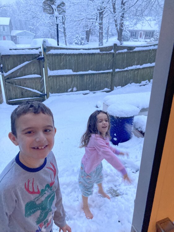
Bare feet don’t care
-
Nah that’s the 7a measure
-
7.2 logan
-
CF is in Braintree.
-
Yeah Will 32 now. We’ll see if that sinks back south soon.
-
Snow started at what like 4a or so. Maybe a little earlier. That’s good stuff.
-
31.5 so getting wetter


