CoastalWx
-
Posts
177,031 -
Joined
-
Last visited
Content Type
Profiles
Blogs
Forums
American Weather
Media Demo
Store
Gallery
Everything posted by CoastalWx
-
That guy when there’s wind, has low numbers, but if the wind isn’t bad I’ve noticed his numbers really are much higher.
-
Neither really but closer to N Wey
-
Keep drinking
-
5 miles meant 13” vs 8”
-
I’m not S wey
-
I’m not sure it was an inhibitor like models showed. It seems like Mother Nature was like...”ok I have a half inch of equivalent and all the forcing to make it so...” and that’s what happened. We didn’t need like 2SD PWAT. Just something to squeeze it out. Everything I saw was bullish but that dual low had me wondering if the precipitation shield would be more fractured. Probably should have known when the NAM was showing nearly 0.4” QPF in 3 hours with 700 temps as cold as they were.
-
It doesn’t. But it’s something that happens.
-
That event sucked.
-
Oh deer island supposedly had 5” at like noon. Lmao. Can you imagine if they were official?
-
Man I shoveled a lot of out to sea QG Omega.
-
I got scared by the double low. Me ftl.
-
This storm is like 2/7/03, 1/22/14, 2/8/21. Think those dates are right.
-
11.7” Logan. Making measuring great again.
-
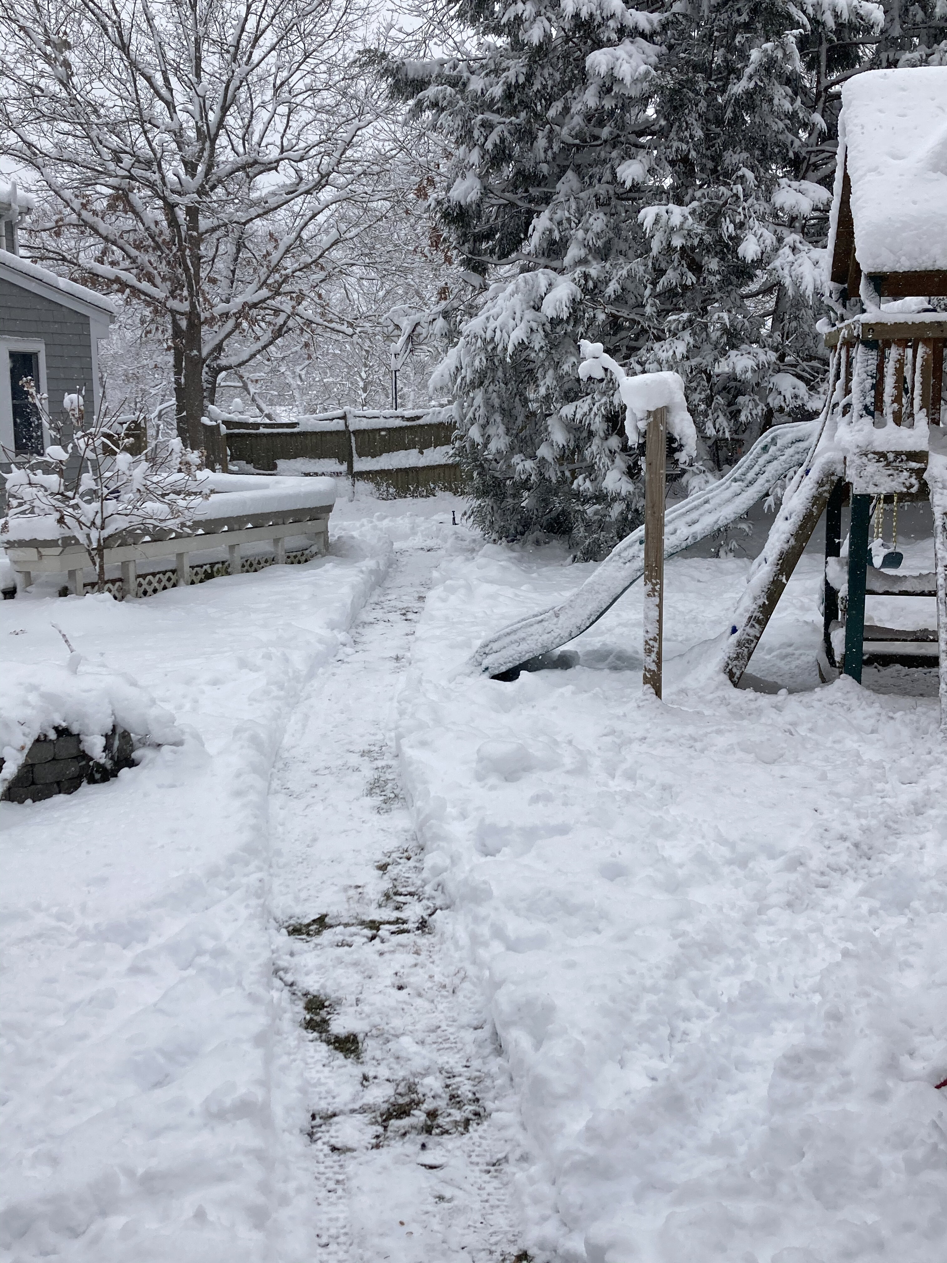
Went sledding at that hill down the street from me near the water. Was a wetter snow there with some ice on the trees meaning it was melting a bit before it cooled off. Pretty cool differences.
-
The guy in N Wey had 13".
-
Yep, great post.
-
10.5-11" OTG.
-
12"
-
Its actually rather fluffy.
-
Kids trampling pack ftl.


-
Nice little band to cap it off.maybe I can make 12 inches.
-
2" New. 11.8".
-
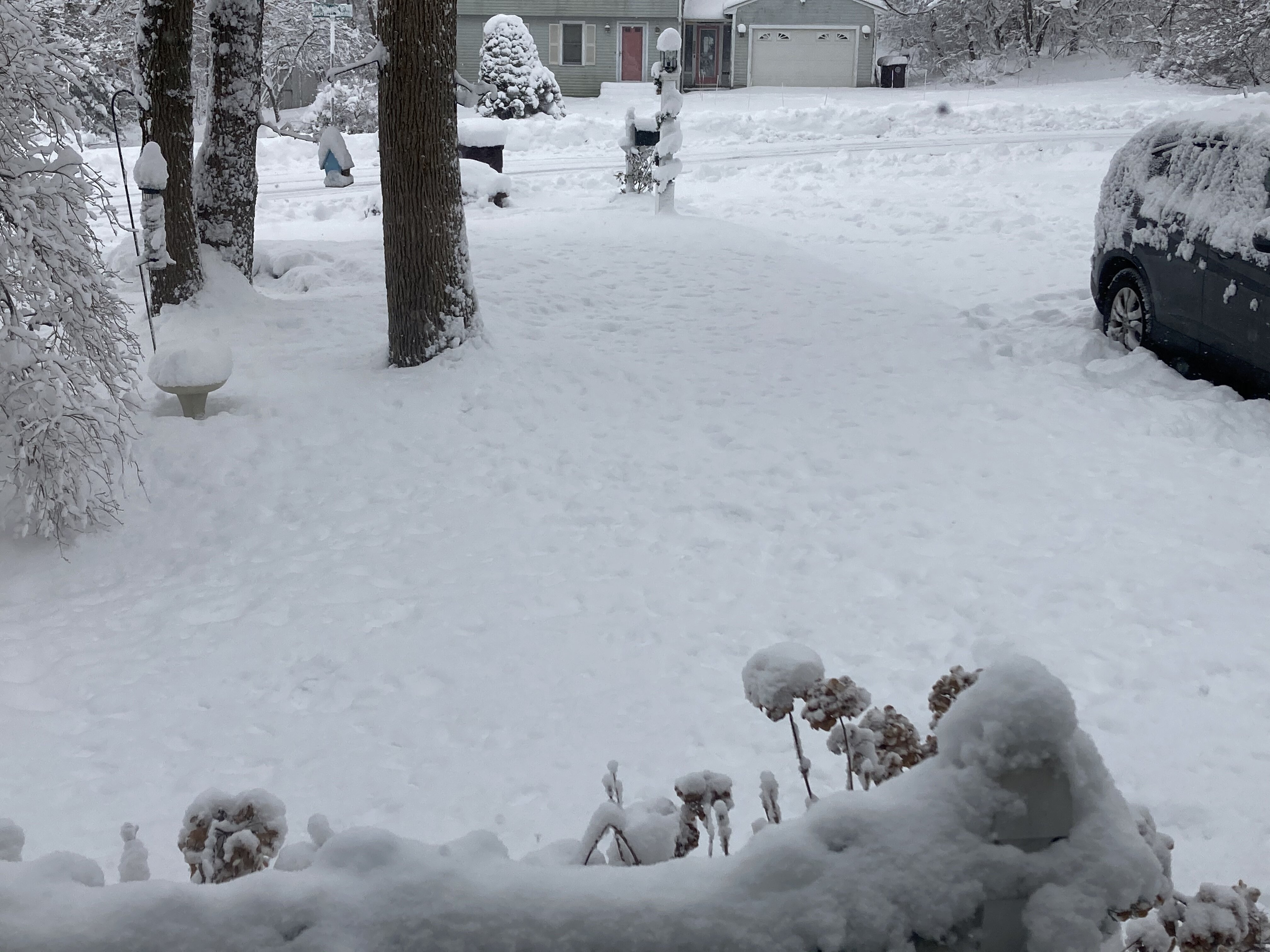
How is the consistency of the snow for you all? Is it true champagne? Mine is fluffy, but sitcky...might be a hair wetter than what some of you have. Looks great for now on the trees, I know the wind picks up later. Fatties are back now.
-
Looking back, the fronto signals were there. I think I wound have been more aggressive, but what about the dual low? Would it be these big bands that we saw, or would it be more strung out and not as consistent? Those were the questions I had. Other than that, signs were there. It looked like enough forcing from s/w was there to overcome it.
-
Snow picking up here again.