

CoastalWx
-
Posts
176,079 -
Joined
-
Last visited
Content Type
Profiles
Blogs
Forums
American Weather
Media Demo
Store
Gallery
Everything posted by CoastalWx
-
Yep. The occasional drink is good.
-
I’m not saying 40s and rain, but looks meh with cool temps and some inclement weather. That’s all I meant. Kind of sucks.
-
Seems like a bit of a drink tomorrow night and then Wednesday.
-
39 for low.
-
Oh yeah there is one haha.
-
Top 10 needs to be warmer, but a great day for sure.
-
That Boston temp seems a little high? Although it’s probably more correct for the rest of the city.
-
Yeah the stein days have helped with solar for sure. But Christ I may get some sort of an insert if these oil prices keep up.
-
Yeah, an amazing week. Freezes and gales.
-
This week kind of sucks too wx wise.
-
That is sad. Heading into prime season too.
-
The guy knows how to polish a turd.
-
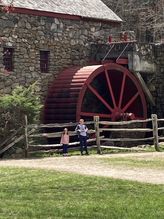
Doing metro west today. Old Grist Mill in Sudbury.
-
It’s still cool, but much better compared to recent days.
-
Yeah same. He’s like the moon lol.
-
Love wearing hats and gloves for soccer. Deep Spring baby.
-
You mounted up.
-
I mean take it easy Stein!! Don’t get yourself in trouble!!
-
Let’s see the posts showing off those crazy parties he has!
-
Radiators mounted up last night. 38 here again.
-
Wtf is this crap rotating south?
-
He’s back!!
-
Why don’t they say destructive hail? How can they get that specific? So everyone there thinks 5” Hail. Lol.
-
You had others in the 40s.
-
That 50 In the sun sure told me.


