CoastalWx
-
Posts
176,079 -
Joined
-
Last visited
Content Type
Profiles
Blogs
Forums
American Weather
Media Demo
Store
Gallery
Everything posted by CoastalWx
-
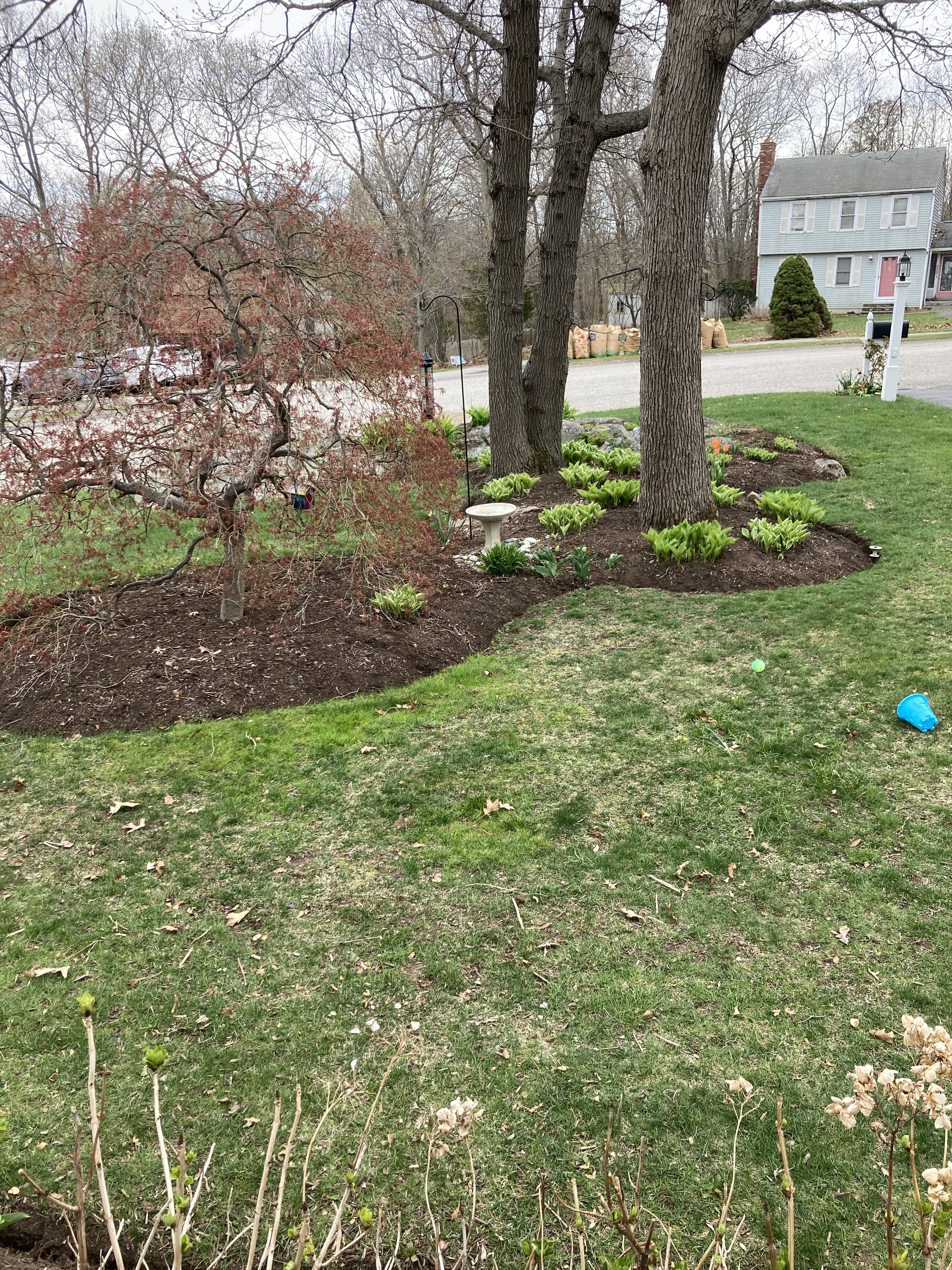
Plenty of mulch. I never do it every year.
-
Not sure what the good Pope took? Maybe still elated that he has risen?
-
This is nothing like yesterday lol.
-
Fine for now.
-
Not a good time for Stein.
-
I’m just assuming so I could be wrong. But I have bees doing that. I have no idea what kind of bees they are. They aren’t the typical ones I know. But, you would know because they are all over. So I’m surprised you haven’t seen them and makes me question if they’re the bees I have.
-
We edge.

-
I have bees that do that, but the grass grows in.
-
Roar
-
Some of the oak buds are swelling like Kevin at bear week in P-Town.
-
45 for the low. We grow.
-
Looks like Fall colors coming on strong at HFD.
-
Maybe they’re just admiring the majestic beauty of Randolph?
-
I have no idea how Phin came to that conclusion about MA drivers. Lol. Not what I see around here.
-
Your state is a disaster. 95 and the Tolland Triangle on 84.
-
Lettuce yea. No idea about the others.
-
It is kind of a wheel o Rhea. It’s still early and it could change for the worse too.
-
But in the valley it will be warmer. You’re screwed at 1K.
-
I think it’s ass.
-
Loop the euro. After rains it’s self destructive ULL. Nobody said 40 and drizzle but I think it sucks.
-
It’s ass after Monday.
-
I just love when he landscapes.
-
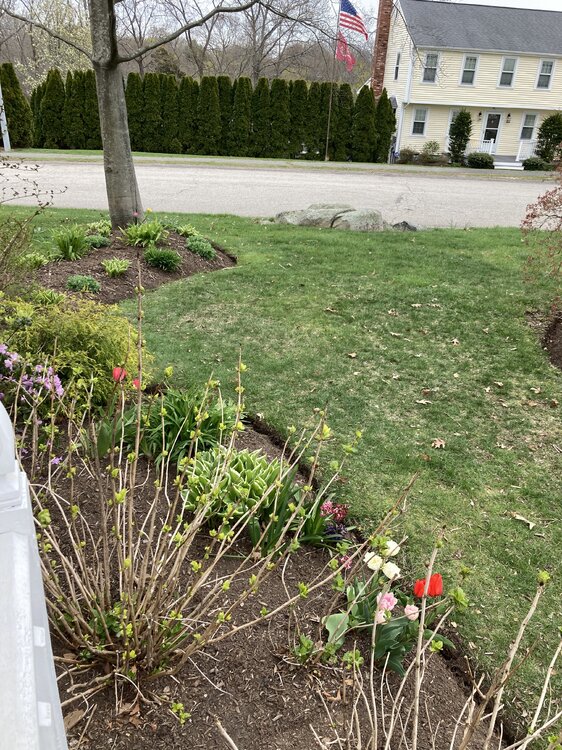
Am I looking at Phil’s work in the bottom Pic?
-
Kevin would hate the leaves in my planting beds.
-
Wonder if rclab had to change his undies after that post.