

CoastalWx
-
Posts
176,079 -
Joined
-
Last visited
Content Type
Profiles
Blogs
Forums
American Weather
Media Demo
Store
Gallery
Everything posted by CoastalWx
-
Summeh
-
No heat for the next few weeks it seems.
-
-
We 04-05.
-
Pretty much the beginning of this song.
-
Might need to watch the morning stuff.
-
Trough after trough. What a crap pattern. We’ll get the ridging in winter though.
-
Bars sure. But then you get out of the water and freeze. No thanks.
-
We’ve walked around Naples. Heavy heavy money there lol.
-
Looks like about 3/4” at home but over 2” just to my south.
-
Obviously we don’t have the Florida climate, but I love the beach vibe. Hot humid days, bars everywhere, surf shops, I just love it.
-
Lots of bums.
-
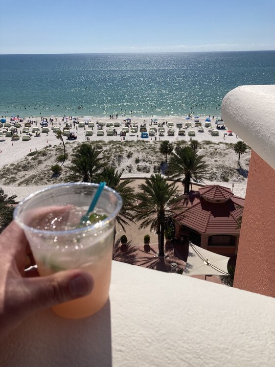
Clearwater beach FL
-
Jalapeño watermelon margarita baby
-
Summer as it should be
-
Remember as the days shorten, the heat worsens!
-
Hopefully people know I’m just having fun. But in all seriousness, that look for the next two weeks looks meh. I get the rain and all, but blah.
-
I’m wearing Teva flip flops if that helps.
-
Bleh, just seems like a meh pattern for summer weather that’s all.
-
We Casa Migos.
-
Looks like everyone is drinking today.
-
But hey let me strap on my Tevas, tie my hair into a bun and drive the Subaru to the trail head. Looks epic.
-
All I see are troughs. Looks great if lived in Norway.
-
We Clearwater. Hot and humid and water 83. As summer should be.
-
it’s summer. People can go to Labrador if they want cool weather.


