snowwors2
-
Posts
1,613 -
Joined
-
Last visited
Content Type
Profiles
Blogs
Forums
American Weather
Media Demo
Store
Gallery
Everything posted by snowwors2
-
Kamu and I are retirement home buddies…First snow that I vividly recall, though I thought there was another biggy on Christmas Eve a few years earlier (1962, 1963, 1964?)‼️
-
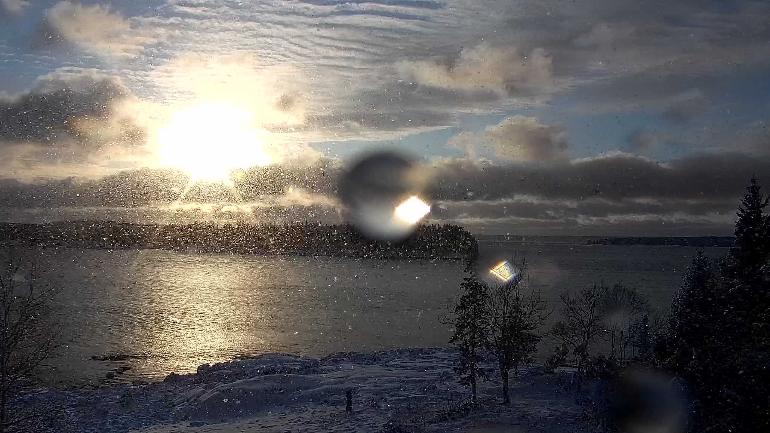
Second 7”+ storm @ Down East, Maine cabin this season‼️

-
Success here… I still have 2”+‼️
-
-
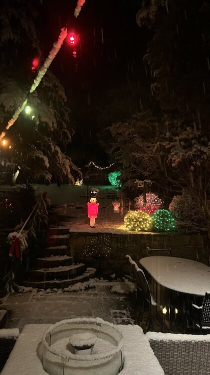
2.5” here on the Delaware River in Lumberville, PA… Absolutely classic snowy pre-Christmas nite‼️
-
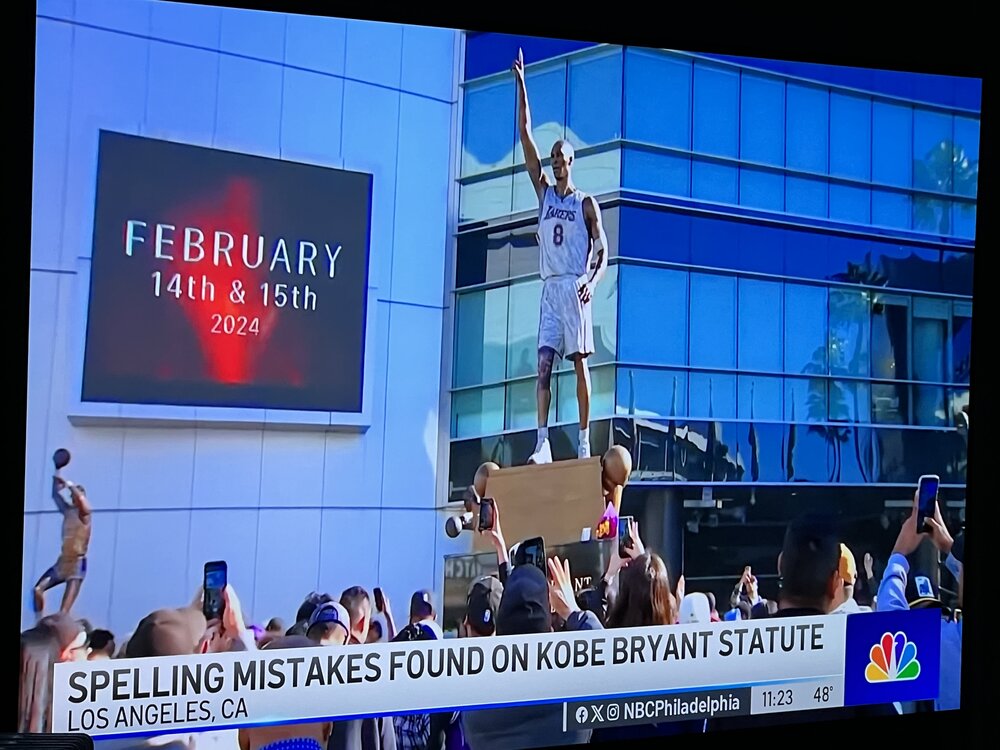
You just can’t make this stuff up! Read this carefully… NBC10 is the worst‼️
-

E PA/NJ/DE Winter 2023-2024 OBS/Discussion
snowwors2 replied to The Iceman's topic in Philadelphia Region
Incoming‼️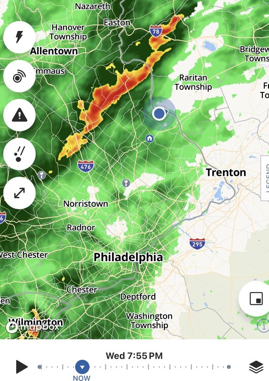
-
E PA/NJ/DE Winter 2023-2024 OBS/Discussion
snowwors2 replied to The Iceman's topic in Philadelphia Region
Today (southern exposure, but slopped north and treed hill protected)!!! 6:30am 5:30pm And, neighbors still have a couple of inches!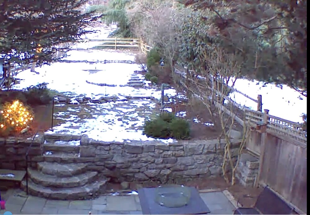
-
E PA/NJ/DE Winter 2023-2024 OBS/Discussion
snowwors2 replied to The Iceman's topic in Philadelphia Region
That’s what’s so surprising about the coverage I have facing SW!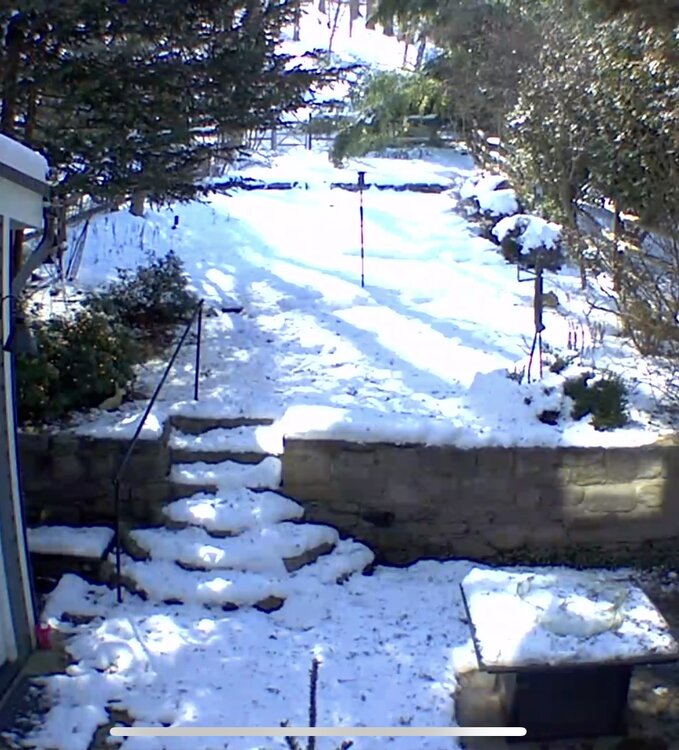
-
E PA/NJ/DE Winter 2023-2024 OBS/Discussion
snowwors2 replied to The Iceman's topic in Philadelphia Region
Incredible staying power (southern exposure too)!
-
https://www.weather.gov/wrh/TextProduct?product=pnsphi
-
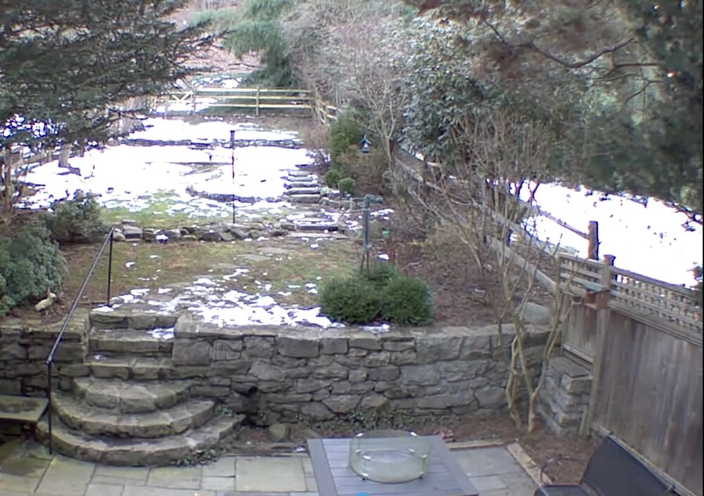
No reports near me in Bucks but had I been home it looks like 4-5” on my cameras.
-
Insanity… 4” @ my home (Lumberville, PA) and 2 miles as crow flies 8” Stockton NJ and 8 miles crow flies 13” Frenchtown NJ‼️‼️ THANK GOD I’m in Richmond, VA. cause missing that death-band that close would have driven me insane‼️
-
Rayon’s train had a REAL BAD derailment during our most recent storm‼️
-
Well… EPWA has heaviest for central and northwest Bucks!
-
E PA/NJ/DE Winter 2023-2024 OBS/Discussion
snowwors2 replied to The Iceman's topic in Philadelphia Region
That N”BM” model was pretty crappy for last event, wasn’t it⁉️ -
7” in Lumberville, PA
-
Knocking’ on the door!
-
Impressive radar!
-
Don’t tell my wife but… I’m in LOVE with this model‼️
-
Maps (final hour version‼️)⁉️
-
E PA/NJ/DE Winter 2023-2024 OBS/Discussion
snowwors2 replied to The Iceman's topic in Philadelphia Region
‼️ -
E PA/NJ/DE Winter 2023-2024 OBS/Discussion
snowwors2 replied to The Iceman's topic in Philadelphia Region
Goofus? -
E PA/NJ/DE Winter 2023-2024 OBS/Discussion
snowwors2 replied to The Iceman's topic in Philadelphia Region
I should have said “more accurately inaccurate”‼️ -
Philadelphia Historical Snowfall Data:
snowwors2 replied to ncforecaster89's topic in Philadelphia Region
Gotcha… Like you, I’m batting .600 in that category‼️