

Sey-Mour Snow
-
Posts
5,269 -
Joined
-
Last visited
Content Type
Profiles
Blogs
Forums
American Weather
Media Demo
Store
Gallery
Posts posted by Sey-Mour Snow
-
-
3 minutes ago, CoastalWx said:
Gfs looks amazing

Couldn’t be worse lol boring and max temps only in the 40s until that day 12 cutter
-
7 minutes ago, Damage In Tolland said:
We’ve had a bunch of nice , mild to warm springs lately.. haven’t had bad one in years
2020 was chilly snowed in May
-
22 minutes ago, The 4 Seasons said:
im down with permanent Standard Time but not permanent DST.
Are you down with the sickness?
-
 2
2
-
-
16 minutes ago, CoastalWx said:
It’s broken
Noticed the patchy grass showing in the most persistent sun spots on my way to the gym this morning. Down to 98% coverage, next 7 days should do a lot of work on that pack..
-
30 minutes ago, RUNNAWAYICEBERG said:
Big snows are always 10 days away.
They sometimes get into day 6/7 but that’s as close as they get lately
-
2
-
-
14 minutes ago, CoastalWx said:
Probably Miller Lite at 18z.
That will trend to a fropa by next week.
-
 1
1
-
-
7 minutes ago, CoastalWx said:
GFS has 50s for Tuesday.
60 close by! And 50 Wednesday too, Let’s melt it all!
-
 1
1
-
 2
2
-
 3
3
-
-
1 hour ago, WinterWolf said:
What dos next Friday/28th look like this morning?
I jinxed it yesterday every piece of guidance is now just a frontal passage
-
Definite south trend on the 28th threat today. EURO went south too major hit for CNE/NNE
-
1
-
-
3 minutes ago, WinterWolf said:
Earlier you mentioned the 28th….Abs here it is. I know a week plus out, so it’ll most likely be gone next run, but just funny you mentioned the date.
There’s been a storm on every cycle for quite some time now. That day has been a target for about a week out, good signal, as always cutter, whiff, or hit? We will see
-
1
-
-
Weak IVT signal for NYC metro into West CT. Wouldn’t be surprised to see a sneaky 1-3” band tomorrow PM.
-
1
-
-
2 minutes ago, CoastalWx said:
The storm blows up with the polar s/w and gives SE areas good snows.
Ya the polar SW comes in after that one and blows up another smaller area of low pressure that gives snow to you guys
-
1 minute ago, Typhoon Tip said:
I applaud the Euro for detecting ...
... this season's achievement in snowing the least plausible amount relative to any physical circumstance is finally being modeled by one of these damn things. The 28th signal on this run has a coastal running up with an impressive nor'easter signaled, yet nothing happens on the west side of the cyclone the entire way up the coast.
that's a neat trick... but then again, I don't put anything past this season at this point.
I knew you’d like that one, beast of a storm with nothing to show for it. 40mb drop bombogensis in 24 hours from hatteras to the benchmark to Nova Scotia. And no snow to speak of until down east Maine.
-
3 minutes ago, CoastalWx said:
I think there is a cold risk then. I just mean next week looks AN.
Ya that’s where the differences lie, GFS op is normal to below while euro is normal to above.. depends on tracks of the clippers and the larger storm next Friday.
-
6 minutes ago, jbenedet said:
There is less than a week left in February by this weekend guys…when MJO settles in phase 1…The sun is as predictable as it gets in this space—I’ll go with March vs February here…
I’d check myself if the teles were saying otherwise, but as I stated above they are saying the same thing…
Makes sense, just odd to see GEFS and EPS in agreement on a massive -EPO with cold dumping into the East in late Feb early March, so that gives pause
-
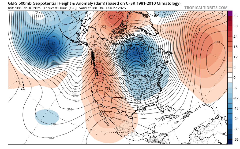
The difference in euro and gfs is astounding, euro after this week is mild and pleasant 45-50 sunny , gfs deep deep winter next 15 days..
-
3 minutes ago, brooklynwx99 said:
this is quite a bit healthier. like seeing the -AO over the top too. pretty solid

Getting some more arctic blocking showing up again, but let’s not get congrats north Carolina again please
-
1
-
-
4 minutes ago, brooklynwx99 said:
this is quite a bit healthier. like seeing the -AO over the top too. pretty solid
That’s a bit further east good to see, just need some more and for it to actually verify
-
6 minutes ago, 40/70 Benchmark said:
Hopefully the orientation and positioning of the ridge out west changes.
Ya looks the same honestly too far west , this weeks ridge just hit absolutely broken down, barely a ridge by Thursday
-
6 minutes ago, MJO812 said:
Seeing the Nam struggle like this is weird since it's a close range model.
It has had at least 3 complete failures at hour 6 and initialization this year.. December 20th had 3-6"+ for SNE for that morning while no other model bit and there was a dusting in some towns..
-
 1
1
-
-
2 minutes ago, CoastalWx said:
The core is broke after this week. Just like in summer when in August we have warmth but the big heat is done.
EPS pretty much agrees, GEFS are very cold and snowy starting end of next week..
-

GFS cold and stormy from northern stream waves after this week.. 6z run was a weenie run for northern new england, just wave after wave up there..
-
1
-
-
2 minutes ago, The 4 Seasons said:
something wrong with you guys. Stop with the Nam.
Anyone in this thread right now has a problem , including you
-
1
-
3
-
-
Just now, CoastalWx said:
I’m broken.
Me too, why are we still looking at the NAM , looking for more heartbreak
-
1
-

March DISCO/OBS: Please End It
in New England
Posted
Ya it should, that run was just a bit colder, hopefully we don’t get a sea breeze..