
Sey-Mour Snow
-
Posts
6,995 -
Joined
-
Last visited
Content Type
Profiles
Blogs
Forums
American Weather
Media Demo
Store
Gallery
Everything posted by Sey-Mour Snow
-
If it rains next Sunday I quit.. $2000 for fall baseball 8 tournaments at this age they only play Saturday for seeding then Sunday single eliminination.. so far 6 tournaments in and 5 have been rained out on Sundays (semis and championship), one tournament completely washed out, and this Sunday is 50/50..
-
First ones popped up in southern CT in the late summer of 2024. Last year wasn't nearly as bad as this year, this year they are as common as flys.
-
Waiting for the wind to return , been 12 hours since a 40+mph gust
-
No idea what that actually means but it looks cool . I believe those just mean windy for late September?
-
To be serious though the storm has gone exactly as I expected so far. Great forecast by all besides the usual outlets that hype too much.
-
I’m in a safe spot luckily.
-
Heavy heavy drizzle and breezy , hopefully that stuff to the southeast rotates in
-
Oh wow congrats on retirement!!!
-
seriously you know a few would, especially the ones that FaxWX doesn't advise
-
It's ridiculous, the amount of texts asking if the gym is closed or if they should cancel their plans today..
-
I'll take 5" of rain and a 50 gust, honestly noticed in dog pen the top few inches of soil drying out
-
Impressive
-
A long duration 2-4" rain event plus 40-49 mph winds inland, MEH
-
-
Meh, besides coastal flooding and erosion being maximized with the loop and Astro high tides this is just a rainy Nor’Easter that ruins another Sunday as well as Saturday this time and maybe Friday.
-
I like to compare 12z to 00z, Gfs is a bit east of 00z and less impactful, but well west of the 6z east outlier. All options still on the table.
-

Septorcher 2026 Discussion - Endless Summer
Sey-Mour Snow replied to Damage In Tolland's topic in New England
Wild still 63-70 in CT -
Septorcher 2026 Discussion - Endless Summer
Sey-Mour Snow replied to Damage In Tolland's topic in New England
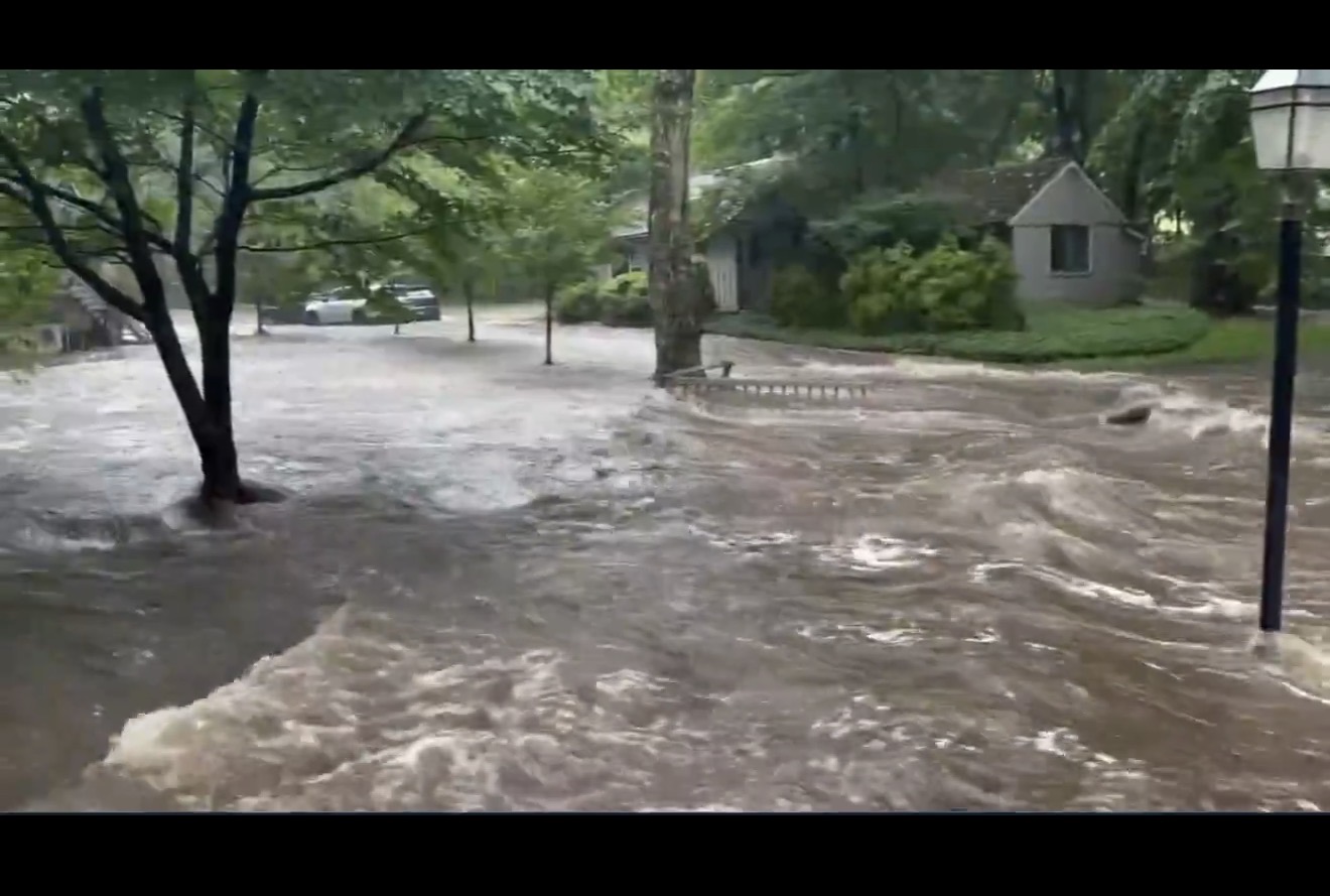
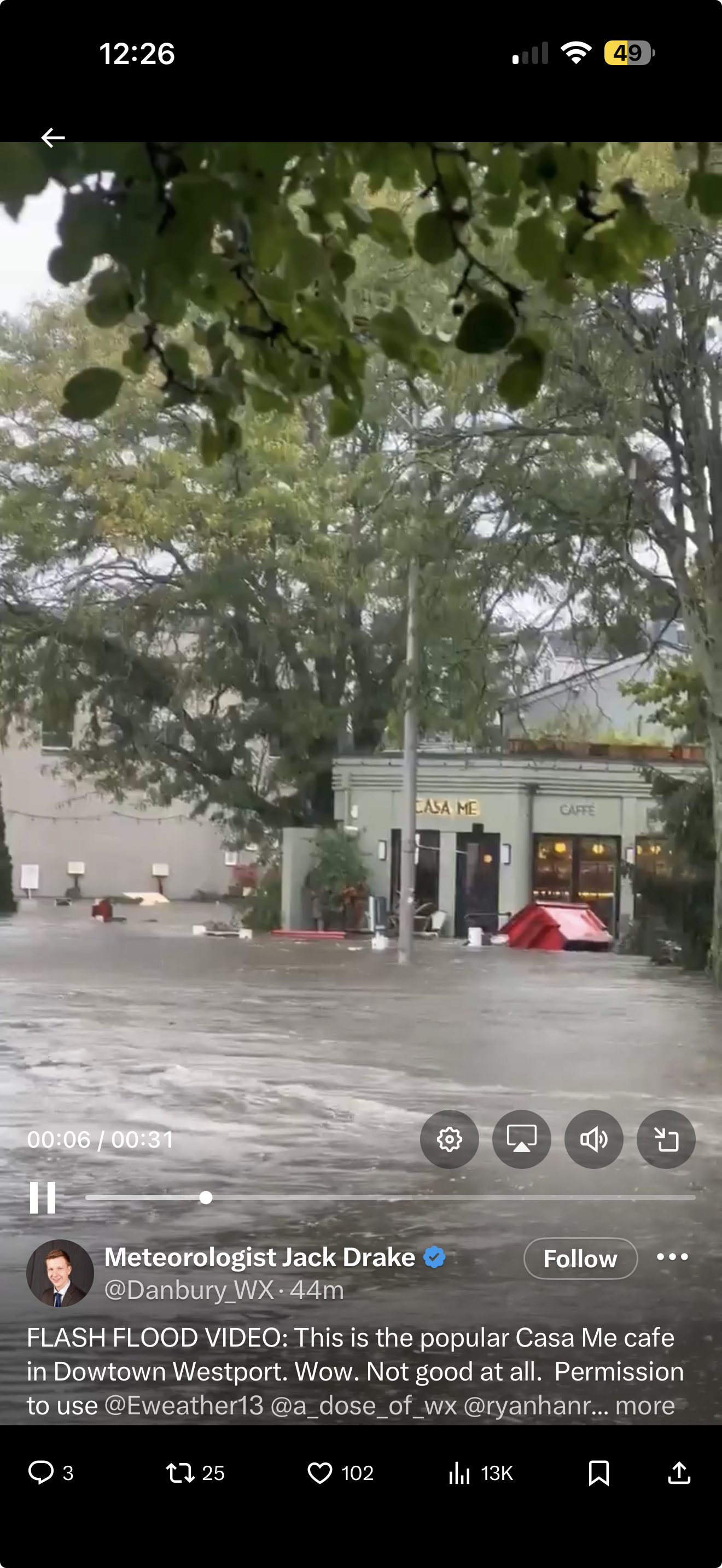
Wild video coming from Fairfield Westport 8-9” of rain in 3 hours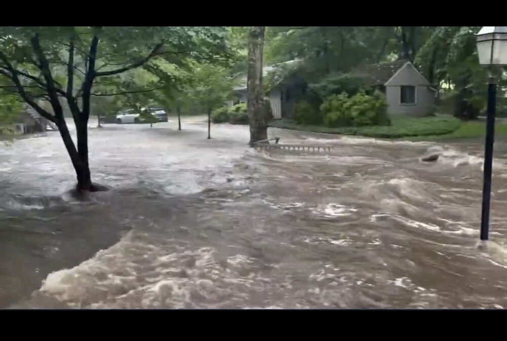
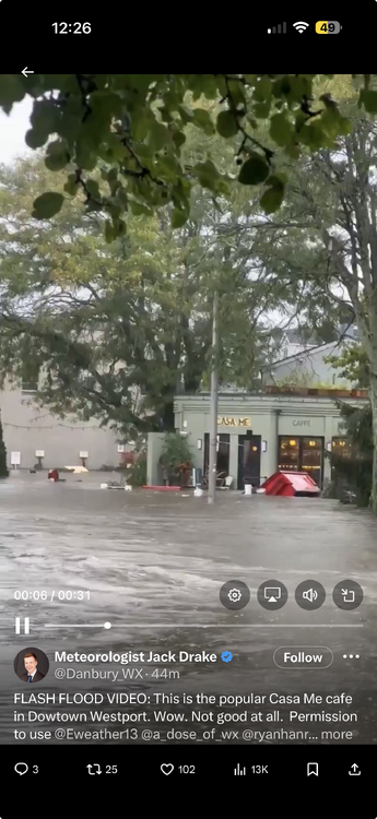
-
Septorcher 2026 Discussion - Endless Summer
Sey-Mour Snow replied to Damage In Tolland's topic in New England
Weather stations in Westport showing 8-9” in 3-4 hours -
Septorcher 2026 Discussion - Endless Summer
Sey-Mour Snow replied to Damage In Tolland's topic in New England
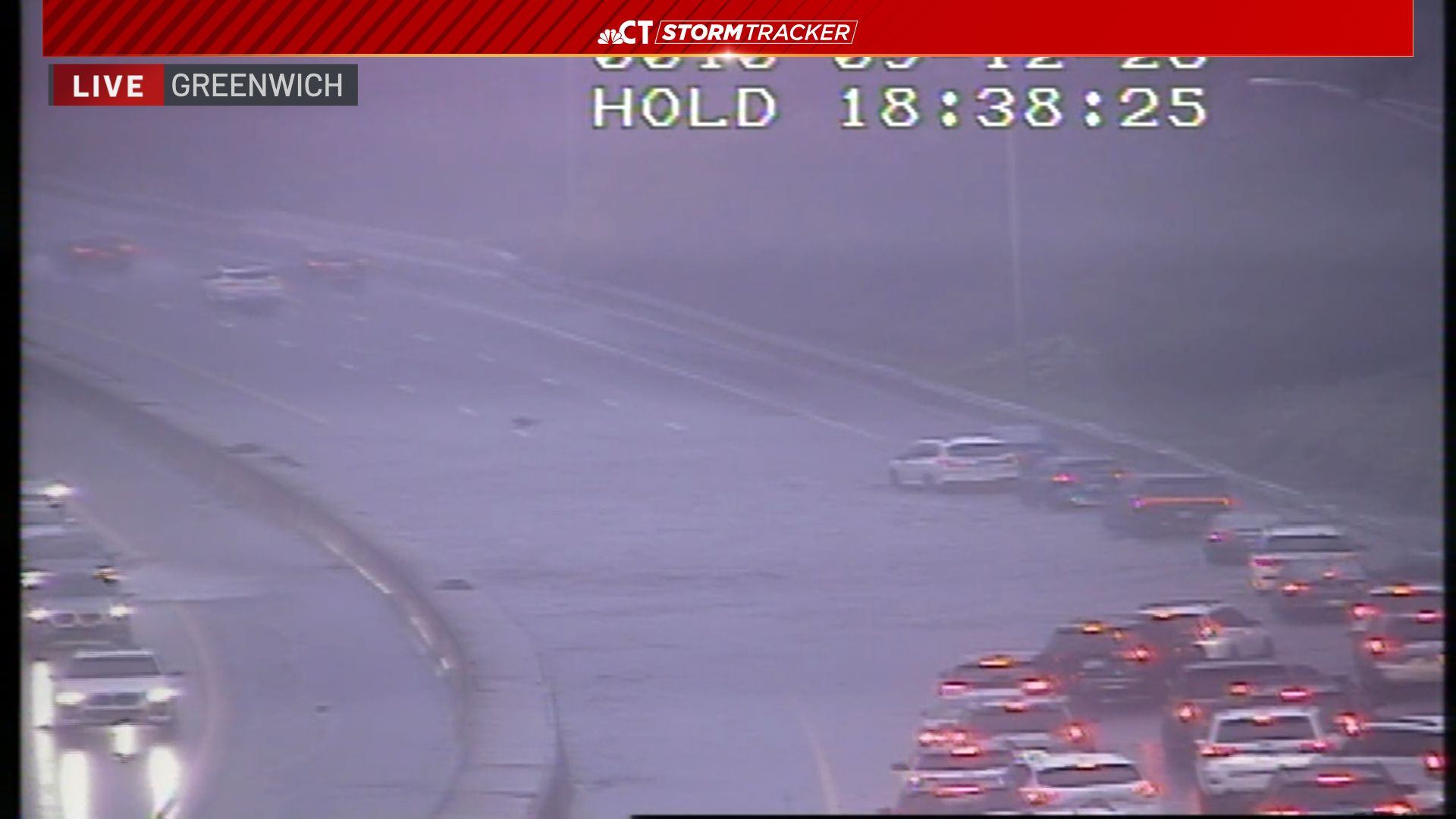
Damn it just got here.. can’t imagine what 95 looks like nvm several reports of severe flooding and 2-3’ of water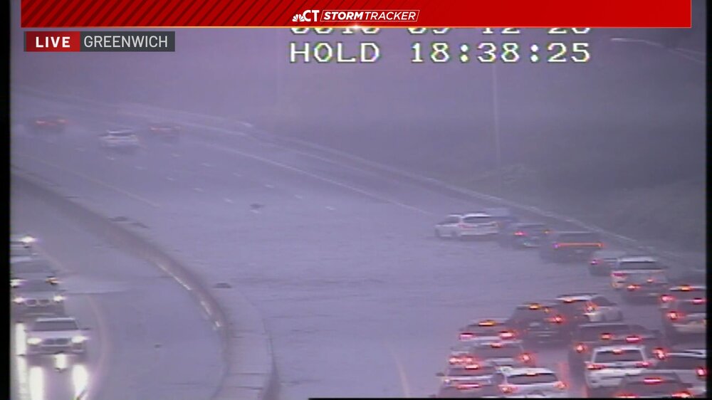
-
Septorcher 2026 Discussion - Endless Summer
Sey-Mour Snow replied to Damage In Tolland's topic in New England
4-5” widespread with a training band of torrential rain on the Merritt -
Septorcher 2026 Discussion - Endless Summer
Sey-Mour Snow replied to Damage In Tolland's topic in New England
Getting dangerous in Fairfield county now -
Septorcher 2026 Discussion - Endless Summer
Sey-Mour Snow replied to Damage In Tolland's topic in New England
Ya they are getting crushed 3”+ widespread by 9am. But I don’t see why you can’t get 1-2” -
Septorcher 2026 Discussion - Endless Summer
Sey-Mour Snow replied to Damage In Tolland's topic in New England
Look at radar -
Septorcher 2026 Discussion - Endless Summer
Sey-Mour Snow replied to Damage In Tolland's topic in New England
I’d prefer a sunny day if it’s going to rain might as well be epic