

CentralNC
-
Posts
770 -
Joined
-
Last visited
Content Type
Profiles
Blogs
Forums
American Weather
Media Demo
Store
Gallery
Everything posted by CentralNC
-
Raleigh disco out https://forecast.weather.gov/product.php?site=NWS&issuedby=RAH&product=AFD&format=CI&version=1&glossary=0&highlight=off
-
Brick keep bringing the hopium for us. I never get tired of it.
-

2025-2026 Fall/Winter Mountain Thread
CentralNC replied to Buckethead's topic in Southeastern States
Yeah and very low dew points not too far away. -
Im a Bills fan! You want to talk about disappointment? We apparently live for it
-
GSP disco is out. Man, they are really struggling with this one https://forecast.weather.gov/product.php?site=NWS&issuedby=GSP&product=AFD&format=CI&version=1&glossary=0&highlight=off
-
Maybe this will be the Miller A we have been wishing for. I bet it gets suppressed.
-
Yeah I think in general this is not being emphasized by the NWS, but in time they will.
-
Jimbo avoided surgery but then slipped on the imaginary ice and is back in the hospital...
-
No you are not! Stand in there matey!
-
Who is going to start an OBS thread for this storm and do they feel lucky?
-
are you talking 6z?
-
You ain't the only one. Sickness maybe, but definitely an obsession.
-
Need that finger of precip to be pointed a little further south!
-
I know I'm an old guy but just want to remind y'all that this storm is 3 days away. Lots can and will change in the next 48 hours.
-
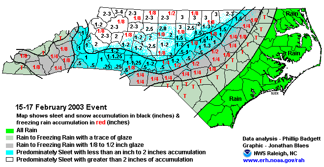
I remember that 1987 storm. Lived in downtown Winston at the time. Heaviest sleet I've ever seen and it was like 18 degrees
-
Sleet most likely because of deep freezing level just off the surface
-
Never seen Raleigh this confident 4 days out NCZ021-210900- Forsyth- Including the city of Winston-Salem 408 PM EST Tue Jan 20 2026 .TONIGHT...Clear, cold with lows around 18. North winds around 5 mph this evening, becoming light and variable. .WEDNESDAY...Mostly sunny. Highs in the mid 40s. Southwest winds 5 to 10 mph. .WEDNESDAY NIGHT...Partly cloudy. Not as cool with lows in the lower 30s. Southwest winds around 5 mph. .THURSDAY...Mostly sunny. Highs in the mid 50s. West winds around 5 mph. .THURSDAY NIGHT...Partly cloudy in the evening, then mostly cloudy with a chance of rain after midnight. Lows in the mid 30s. West winds around 5 mph, becoming north after midnight. Chance of rain 40 percent. .FRIDAY...Cloudy with a 50 percent chance of rain. Highs in the mid 40s. .FRIDAY NIGHT...Mostly cloudy. A slight chance of rain and snow in the evening, then a chance of snow after midnight. Much colder with lows around 20. Chance of precipitation 40 percent. .SATURDAY...Snow. Light snow accumulation. Much colder. Near steady temperature in the lower 20s. Chance of snow 90 percent. .SATURDAY NIGHT...Snow, cold with lows around 15. Chance of snow near 100 percent. Wind chill values as low as zero. .SUNDAY...Snow likely, mainly in the morning. Cold with highs in the upper 20s. Chance of snow 70 percent. Wind chill values as low as zero. .SUNDAY NIGHT...Partly cloudy with a chance of snow in the evening, then mostly cloudy after midnight. Cold with lows 10 to 15. Chance of snow 50 percent. .MONDAY...Partly sunny. Highs in the lower 30s. .MONDAY NIGHT AND TUESDAY...Mostly clear. Lows zero to 5 above zero. Highs in the lower 30s.
-
They just did! https://forecast.weather.gov/product.php?site=NWS&issuedby=RAH&product=AFD&format=CI&version=1&glossary=0&highlight=off
-
RAH still have not updated their discussion this afternoon. I guess those boys are pretty busy...
-
100% this
-
This is one I remember
-
Could not draw it up any better!
-
Wake me up when the King shows up
-
We have a lot of sleep stored up...
-
Even if total qpf is likely overdone, still a huge crippling storm


