

Interstate
-
Posts
5,730 -
Joined
-
Last visited
Content Type
Profiles
Blogs
Forums
American Weather
Media Demo
Store
Gallery
Everything posted by Interstate
-
Yeah I do not get why some models reduce their run lengths on off hours.
-
You would be better suited to go here for your discussion https://www.americanwx.com/bb/forum/25-philadelphia-region/
-
Okay we understand that you live in Magnolia Delaware... it is not about your backyard. Please keep the post on the threat itself and not IMBY.
-
I am not singling you out... but having 20 people post this is getting old.
-
It is 16 degrees at 2PM in Baltimore, and Ocean City is in the mid 40s
-
Why... just because it is cold at the surface... Doesn't mean there will be a warm layer up high.
-
-
Yeah looking at the H5 maps on the GFS I really do not seen any noticeable changes through 96
-
Looks like we have a good chance at seeing the North Lights tonight.
-
at least there is no Great Lakes Low
-
Not a bad little weekend storm.
-
Swing and a miss
-
I mean you are saying the GFS is over doing the cold... However, the GFS, CMC, and Euro are all showing the same thing
-
Scary when all three global models see the same thing
-
Wow. The boundary is shifting around 100 of miles. Insane.
-
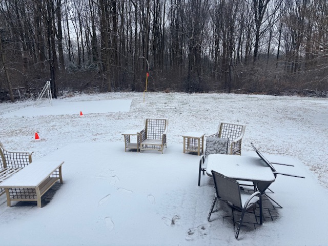
I am not complaining. 2 days in a row of accumulating snow. That is a win in my book.
-
Good flakes in this last band. All roads caved instantly
-
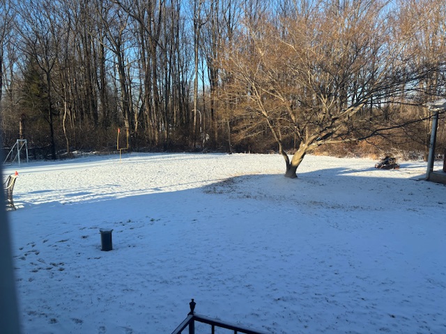
.75 inches here.
-
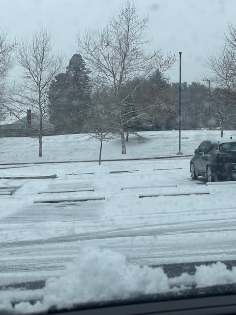
Way over preformed here in 21057
-
Trace here in 21057 temp is 34.7
-
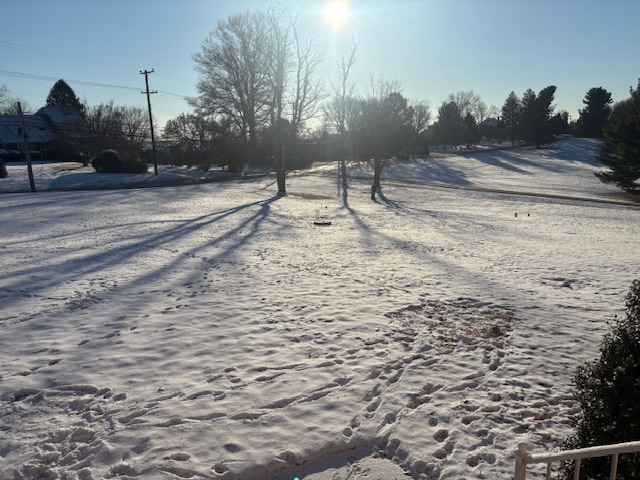
Nothing happening here north of Baltimore but the temperature rising.
-
I am under some of the heavier greens and nothing but the temperature going up.
-
Make a new one or rename this one.
-
It is always the Great Lakes Low that screws us.
-
but when I say it... I get three X just like the family Feud... lol


