Interstate
-
Posts
5,879 -
Joined
-
Last visited
Content Type
Profiles
Blogs
Forums
American Weather
Media Demo
Store
Gallery
Everything posted by Interstate
-
Why is LWX forecasting in knots over land??? A potent shortwave trough will approach from the Great Lakes on Friday. A strong area of low pressure will form just downstream of this trough and track northeastward into the St. Lawrence Valley over the course of the day. Southerly flow ahead of the system will advect an unseasonably warm and humid airmass northward into the area, with temperatures forecast to climb into the 80s and dewpoints reaching into the 60s. The system`s cold front will move through the area Friday afternoon into Friday evening. The front will move into an environment with around 500-1000 J/kg of instability, so a line of thunderstorms may ultimately form along the front. If thunderstorms were to form, they may be capable of producing damaging winds, given the strong winds that will be in place just above the surface (around 40-45 knots at 850 hPa). Regardless of whether storms form or not, strong northwesterly winds are expected behind the system`s cold front late Friday through Friday night and into early Saturday morning. Frequent gusts of 30-40 knots appear likely across the area in northwesterly flow, and some locations may even see some gusts above 40 knots. The Alleghenies and Blue Ridge appear to be the most likely locations to reach Wind Advisory criteria of 40 knots.
-
Fingers crossed... This weekend look sunny but chilly.
-
.91 overnight for a total of 3.74 That was about 14% of my yearly total to date.
-
Okay.. .give me 1 land report of 105 MPH sustained winds??? You will not even come close.
-
BS and prove it... give me one reporting station on land that had major sustain wind speed.
-
I am with Coach... weakest major hurricane to hit the US. Yes the name will not be removed from the cycle.
-
What is this F*** double front Bull*** next weekend... all weekend. Another weekend ruin when I have a baseball tournament.
-
I have been here the whole time.
-
But it does... Since the NHC puts out the advisories the media outlets run with them... This what the general public is expecting... and when it doesn't happen... it gives the general public a false sense of security with the next storm.
-
Why? The shear would still have done the same thing? Shear is Shear
-
This exactly what the models depicted... good for them.
-
Here is a good table for why I do not like the NHC products Hurricane & Landfall Location Real-Time NHC Landfall Advisory Highest Validated Land-Based Sustained Wind The Highest Reporting Land Station Milton (2024) Siesta Key, FL 120 mph (Category 3) 78 mph Venice, FL (Mote Marine Laboratory) Idalia (2023) Keaton Beach, FL 125 mph (Category 3) 81 mph Keaton Beach, FL (WeatherFlow) Ian (2022) Cayo Costa, FL 150 mph (Category 4) 98 mph Cape Coral, FL (WeatherFlow) Ida (2021) Port Fourchon, LA 150 mph (Category 4) 95 mph Southwest Pass, LA (Marine Tower) Laura (2020) Cameron, LA 150 mph (Category 4) 101 mph Calcasieu Pass, LA (NOS Station) Michael (2018) Tyndall AFB, FL 160 mph (Category 5) 118 mph Tyndall Air Force Base, FL Irma (2017) Cudjoe Key, FL 130 mph (Category 4) 111 mph Carysfort Reef Light, FL (Marine Tower) Harvey (2017) Rockport, TX 130 mph (Category 4) 102 mph Aransas Pass, TX (NOS Station) Ike (2008) Galveston, TX 110 mph (Category 2) 86 mph Crabbs Prairie, TX
-
No it is just the frustation I have with the NHC and their products.
-
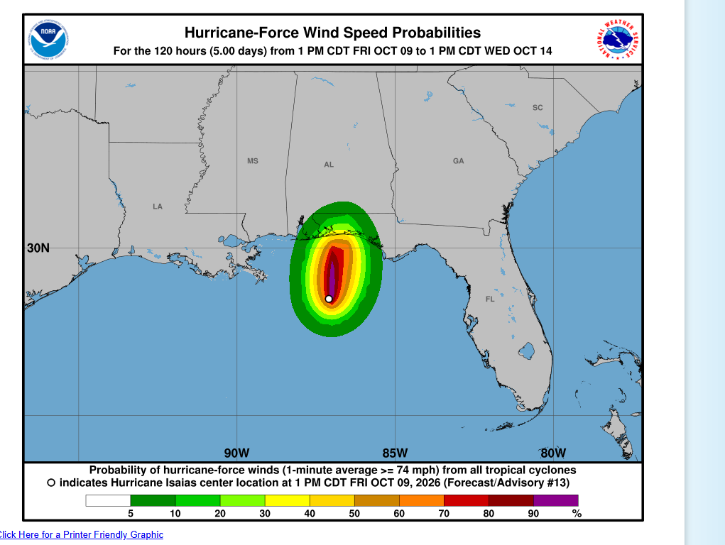
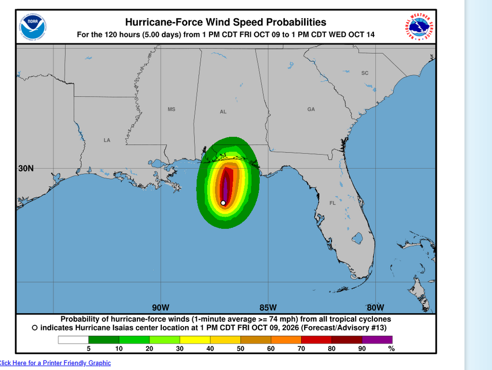
The product says it all
-
We also know that the NHC never drops the wind speeds like the should on a hurricane that has moved over land... they only decrease it like 5 or 10 MPH at each advisory.
-
Wrong... when they say 105 MPH per hour... that means sustained... and there is no way any place over land will see those kinds of winds
-
I will be surprised to see any sustained hurricane force winds over land anywhere.
-
How do you figure... it still did not make landfall yet and the eye is pretty much gone on the radar. It almost looks like it has begun extratropical transition.
-
but in those last couple of frames you do not see the convection back build in the south and south east of the storm. I hope that is the start of the weaking process.
-
You know everyone is grown adult and can choose to go or not. Adults make choices.
-
Latest satellite images shows the shear starting to affect the storm. Also the thunderstorms around the eyewall has collapsed.
-
Question... when the give the position of a storm... if the position the exact middle of the eye?
-
There will be no remnants. It will be just a simple low pressure system on a front with some tropical moisture. Only the Euro give NJ more than in inch and that is only in isolated spots.
-
Good thing I have well water... can we get rain on any other day than Sunday though?
-
I know this is banter... but why, because of this? This is the weather for Atlanta.