

IUsedToHateCold
-
Posts
690 -
Joined
-
Last visited
Content Type
Profiles
Blogs
Forums
American Weather
Media Demo
Store
Gallery
Posts posted by IUsedToHateCold
-
-
Just now, Scraff said:
With the differences toggled back and forth from the 12z to now so far, this could go boom…
All hail the king! Let’s go!
-
 1
1
-
-
3 minutes ago, high risk said:
This is how it *should* be set up, but it's unfortunately not the case right now with the GEFS. The operational GFS underwent a significant upgrade this past March, including changes to the PBL scheme, radiation, and data assimilation. Those changes were not made to the GEFS. So, even the GEFS control run cannot be considered only a lower-resolution version of the operational GFS. Does that fact that the GEFS members and GFS have larger differences than just resolution explain why no GEFS member looks like the GFS solution? Impossible to say....
The operational GFS really was spectacular with the past two systems, so this upgrade seems awesome. I'm sure it's not super easy to just roll it out to the GEFS though.
In any case, we are tracking a 6-day storm, so we're all definitely still in the game. Next run.
-
 1
1
-
-
2 minutes ago, 87storms said:
My guess was wrong. Surprised to see it that far north with the hp positioning. Who knows.
Yup. Better luck next time
-
120 big hit incoming?
-
The king is on tap. Let’s hope it makes us all happy for happy hour
-
4 minutes ago, MillvilleWx said:
Short Pump forecasts go here
Heavy rain. 34 degrees
-
1
-
 2
2
-
-
1 minute ago, NorthArlington101 said:
SE subforum already made a thread. Rookie mistakeThey've had a thread for awhile now lol
-
1
-
-
1 minute ago, CntrTim85 said:
Looking good this time in Chesapeake! Too bad my ass will be at Disney.
I wouldn't "lock this one up" - I've seen plenty of storms go north at the last minute. It's like a curse of the models. Really sucks when you live in NC.
-
That's so close it's painful to watch. Just need a slight tick NW and it's huge
-
The eye of death stills stares at us from afar
-
18 minutes ago, clskinsfan said:
If Charlotte gets 22 inches and I get 2 over the next 3 weeks I am quitting this hobby.
If Charlotte gets 22 inches ever then hell has frozen over. I lived there. 2 inches of snow is a blizzard to them. I think their greatest storm ever was like 14 inches?
-
4 minutes ago, jaydreb said:
Too late. 12z GFS is a total disaster. Boring for days followed by a monster storm that avoids DC before curving out to nail NYC and Boston.
")
Toss it. We are going to be tracking something soon. I can feel it. Maybe not a BECS though, but something
")
-
Local weatherbug already has 34. Going to lose most of my snow, unfortunately.
-
11 minutes ago, WinterWxLuvr said:
This may be the winter, and period, that I have the highest hopes for. My reason is I want to go back to the winter thread from the fall. Mods better lock that thread because I may be trolling the hell out of some people when this thing is done.
My comment in that thread is relevant. Seasonal weather really is a roll of the dice. Sometimes global conditions have loaded the dice, but you still get to roll.
-
Clearly the GFS on TT encountered the matrix and ceased to function. Leaving us with a 156 panel with what appears to be a small hurricane (that is presumably going straight out to sea)
-
3 minutes ago, IronTy said:
You ever watch the "extended" part of your local forecast and wait to see if you had a big snowflake in any of the days? Cause that meant heavy snow. Ah the good ole days living in Michigan.
Nope. Don’t remember that. But I do remember the temperature maps. I was in Massachusetts then so there was always snow
-
1 minute ago, IronTy said:
My dad and I used to watch the weather channel for hours at a time. They had the 7day forecast on the 20s after the hour, I always watched that shit for the bright white snow on the map because that meant heavy snow.
Yeah I always watched the weather channel as a kid too. I remember the local on the 8s. Music was calming and I liked reading what they had to say. My parents thought I was weird
-
1
-
-
Snow. 32 degrees
-
2 minutes ago, Ravens94 said:
Dynamics shifting SE should be a rapid fill near Baltimore and then DC. Coastal moisture starting
How do you know this?
-
1 minute ago, Eskimo Joe said:
Meso to our SW. Good to see. Some places in WV reporting SN+

Decent returns showing up north of Roanoke too, which I take as a good sign
-
41/19. I like the look of the dark clouds on the western horizon. Will be praying for the GFS coup
-
Weird to have such model divergence at this point. Either the GFS is trailblazing as the new king or it’s reprised it’s role as the Goofus. Either way it is on an island. We will know by tomorrow.
-
3 minutes ago, WEATHER53 said:
I think it’s an over performance regime right now.
I think the Euro will cave to the GFS.
-
Just now, Deck Pic said:
lolz

All hail the king
-
1
-
1
-

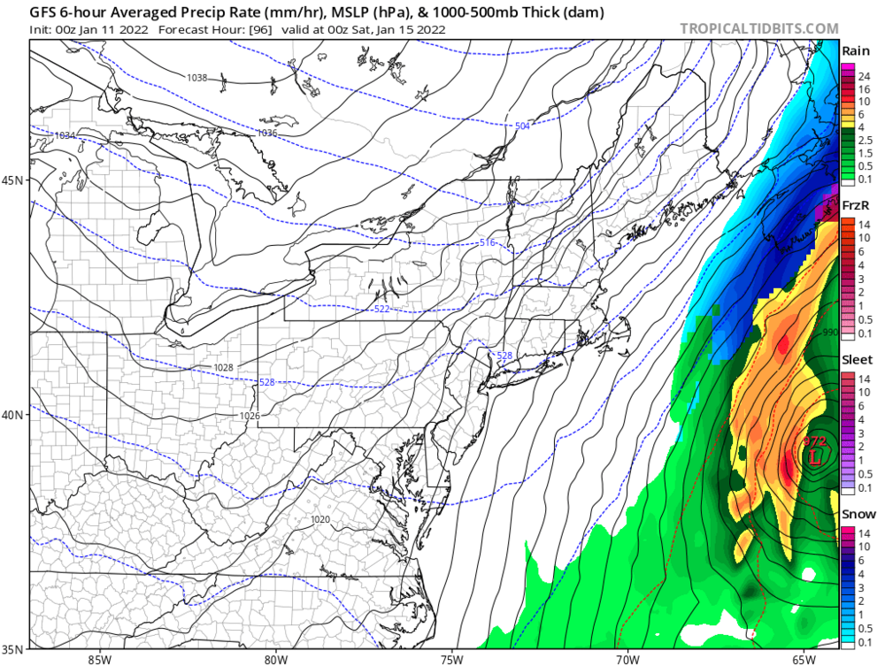
MLK 2022 Storm Potential
in Mid Atlantic
Posted
Low heads straight up to Harrisburg PA