BrianW
-
Posts
2,571 -
Joined
-
Last visited
Content Type
Profiles
Blogs
Forums
American Weather
Media Demo
Store
Gallery
Everything posted by BrianW
-
Glad to see those Bears are still going strong and causing mayhem. Lol. I worked in a few restaurants in Stowe back in like 2004/05 and they were the highlight of our night when one would show up and tear apart the dumpster..
-
I would install. Going to be a hot few weeks up there in the Pioneer Valley..
-
What a week coming up. I think we see 90+ Tuesday to Sunday at BDL.
.thumb.png.61a36db60f619695c6e72fb6789ba6df.png)
-
I helped my aunt eradicate some. It takes years and this is the method I used. You can also use triclopyr. The first step cannot be taken until late august/early September due to the timing of moving the chemical to the roots 1. Borrow injector gun from county if one is available. Fill it with *concentrated* glyphosate. Inject each knotweed stem below the first node. You may want some sort of paint spray to mark which ones you’ve sprayed 2. It will die off after step one, but the next year it will come back, much smaller. You can’t inject these stems anymore, so you spray the tops with glyphosate. Again, wait until august/sept. 3. It will all die off again, and then very very few will pop up in the following years. You should continue to spray them individually in august/sept every year until they are completely gone. There will be very little to do as it will be only one or two plants popping up. There is no other way to remove knotweed. You can’t cut it, you can’t mow it, nothing. Please do not compost it or transport it. You have to burn it once the stems have dried. It is ruthless because of its underground rhizome growth which can extend up to 10 ft below the soil surface. Don’t listen to anyone that tells you chemicals aren’t needed because you will waste time and likely spread it in the process of trying other methods. Remember that even a tiny piece can start a new plant. [here is what the injector gun might look like](https://snohomishcountywa.gov/2012/Knotweed-Stem-Injector)
-
Yeah. 52 and a beautiful morning here as well. Upton has mid to upper 60s here. Behind the cold front it will be noticeably cooler today with high temperatures only reaching the middle and upper 60s for the majority of the area.
-
Yeah. Northeast corner. That area always gets crushed by them.
-
@Damage In Tolland Looks like your friends are active..
-
My sister has a rental house out on Pt Judith in Narragansett. I spent last spring/early summer living there and working on it. Place is like 60 degrees all the time. I would drive up to Home Depot near Providence and its like a 30-35 degree difference. Took this screenshot yesterday. Me and my brother in law setup a Wunderground station. Its the 60 degree reading on the bottom. Place barely even hits 80 in July/August.
-
Yeah. Heat pumps for the win. Just press that snowflake and enjoy the cold. Sounds like someone has some Mitsubishi Electric heat pumps?
-
Lol. Congrats on the 90 at MMK and Plainville! Hopefully you were out there enjoying it!
-
Looks like 89.6. But I'm sure Dendrite will chime in that its some Celsius conversion thats not valid... haha
-
Looks like BDL is going to put up a 90...
-
Already 73 at 9 am in wolf territory.. @WinterWolf
-
You installed?
-
Special...
-
Not much for rain down this way but it cleared out and is full sun now. BDR .07 HVN .01
-
Not here. There has been a strip down the 91 corridor of sun. You can see it on the latest goes. Looks like the Hudson river valley is clear as well. Perhaps some kind of valley clearing off NW winds?
-
It's been sunny here almost all morning and beautiful out here on the shoreline in CT. Great sunny day for those on the south coast...
-
He needs a dog. My dachshund will kill anything that steps in my yard. Haha
-
Nice stretch of a few days of above normal coming up.
-
Yeah. Its from 2015 and I never covered it and have only had to replace the battery on the igniter twice and the burner covers. Its well built with stainless steel everything including the fastners. Easily will go another 10 years.
-
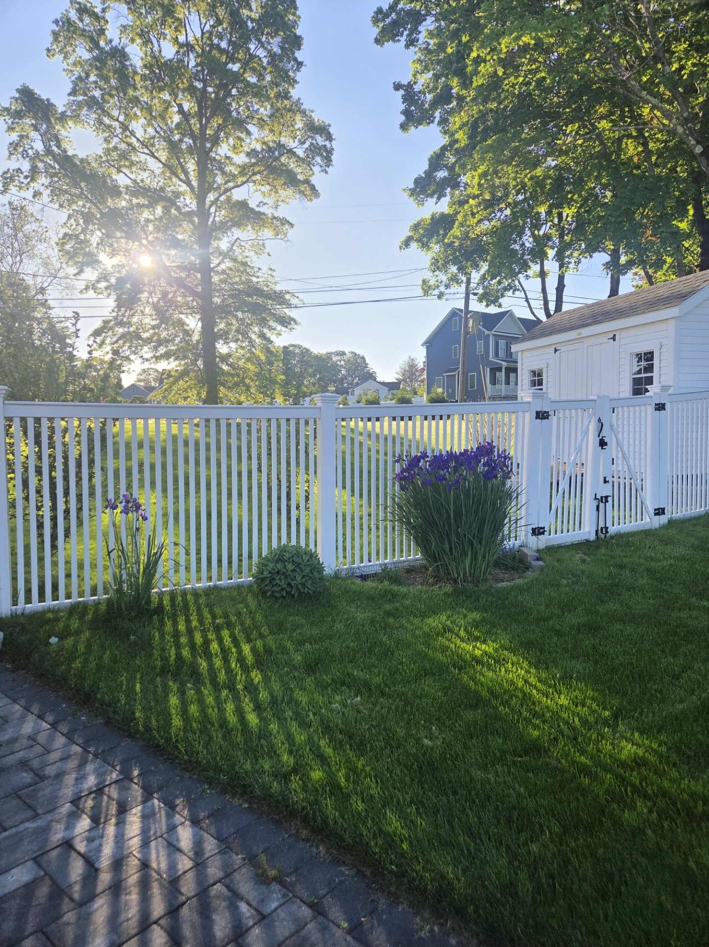
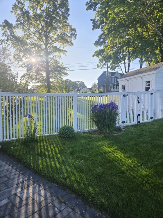
Yeah. Great evening to fire up the grill. What a leaf out as well. Feels like summer is just around the corner.
-
Yep. 2nd sunniest April in the last 5 years according to my solar panel data.
-


.png.252d94c8bd154bc650c0f715a4b609cd.png)