tamarack
-
Posts
16,290 -
Joined
-
Last visited
Content Type
Profiles
Blogs
Forums
American Weather
Media Demo
Store
Gallery
Everything posted by tamarack
-
CAD here finally was broken about 1:30 - 1st gusts over 20 (approaching 30) and temp into the 40s.
-
Still lower 30s as CAD hangs tough. Probably howling winds at 925 overhead but unless/until the RA+ blows away these 30s temps, wind will remain modest.
-
Pouring rain, light/moderate wind, 33-34° - CAD hanging in, though the RA+ ought to be breaking it down. Maybe it will be like our first December in Maine, 1973. In mid-month we had 4" SN followed by 2"+ RA in 15 hours with temps in the 30s. Then an hour of downpour and temp jumping to 56, while it was 15 and IP at our former home in NNJ and western CT had perhaps their worst ever ice storm ever.
-
Only 1.2" sloppy IP, but nearly enough to slide my feet forward off the porch stairs - nasty (but now shoveled). Moderate RA at present with some RA+ incoming, temp still at 32 but no accretion. Power off since just before 7:30 though we're still in CAD-land with modest wind. However, light vehicles might be sliding just like my feet were, so maybe a crash Genny just turned off, so slightly under 2 hr running. Propane truck topped off our tanks (2 hundred gallon beasts, only 21 gallons used in a year) and at a gallon per running time, we're OK if/when this event kicks us to generator power again.
-
Including here: genny kicked in at 7:28 - seemed a bit odd as winds here are modest, maybe G20. Had 1.2" of mostly IP (0.35" LE) but now it's moderate RA at near 32 but no accretion. Looked again at Isle Au Haut and they may get gusts to 80. Several other sites in the general area have G75 forecasts. Isle of Shoals was 48/57 kt at 7 AM.
-
CMP called in a number of crews from other states last weekend as they had something like 118k in the dark. Then CMP looked at the forecast and paid those crews to hang around until this event. Nice to finally see some intelligence back at CMP - they were heroes in the 1998 ice storm but zeroes in the past few years.
-
That Jan 2006 pattern certainly verified as awful in my area. That "winter" failed to have even a 6" snowfall - had not seen a winter w/o at least one 6"+ since 1967-68 in NNJ. It's all about location, as I certainly have no issue with the "great pattern" results, even if half of our snow disappears in the next 30 hours.
-
Isle Au Haut now forecast for Cat 1 gusts. Tonight Rain, mainly after 3am. Low around 40. Windy, with an east wind 15 to 25 mph increasing to 25 to 35 mph after midnight. Winds could gust as high as 55 mph. Chance of precipitation is 80%. New precipitation amounts of less than a tenth of an inch possible. Friday Rain, with thunderstorms also possible after 1pm. High near 51. Very windy, with an east wind 40 to 45 mph, with gusts as high as 75 mph. Chance of precipitation is 100%. New rainfall amounts between 1 and 2 inches possible. Friday Night Rain likely before 1am, then a chance of rain and snow between 1am and 2am, then a chance of snow after 2am. Mostly cloudy, with a low around 27. Very windy, with a southwest wind 30 to 40 mph, with gusts as high as 70 mph. Chance of precipitation is 70%. New snow accumulation of less than a half inch possible. Saturday Mostly cloudy, with a high near 29. Windy, with a southwest wind 25 to 30 mph, with gusts as high as 50 mph. Saturday Night Mostly cloudy, with a low around 24. Breezy, with a southwest wind around 25 mph, with gusts as high as 45 mph. Christmas Day Scattered snow showers, mainly before 1pm. Partly sunny, with a high near 31. Breezy. Chance of precipitation is 30%.
-
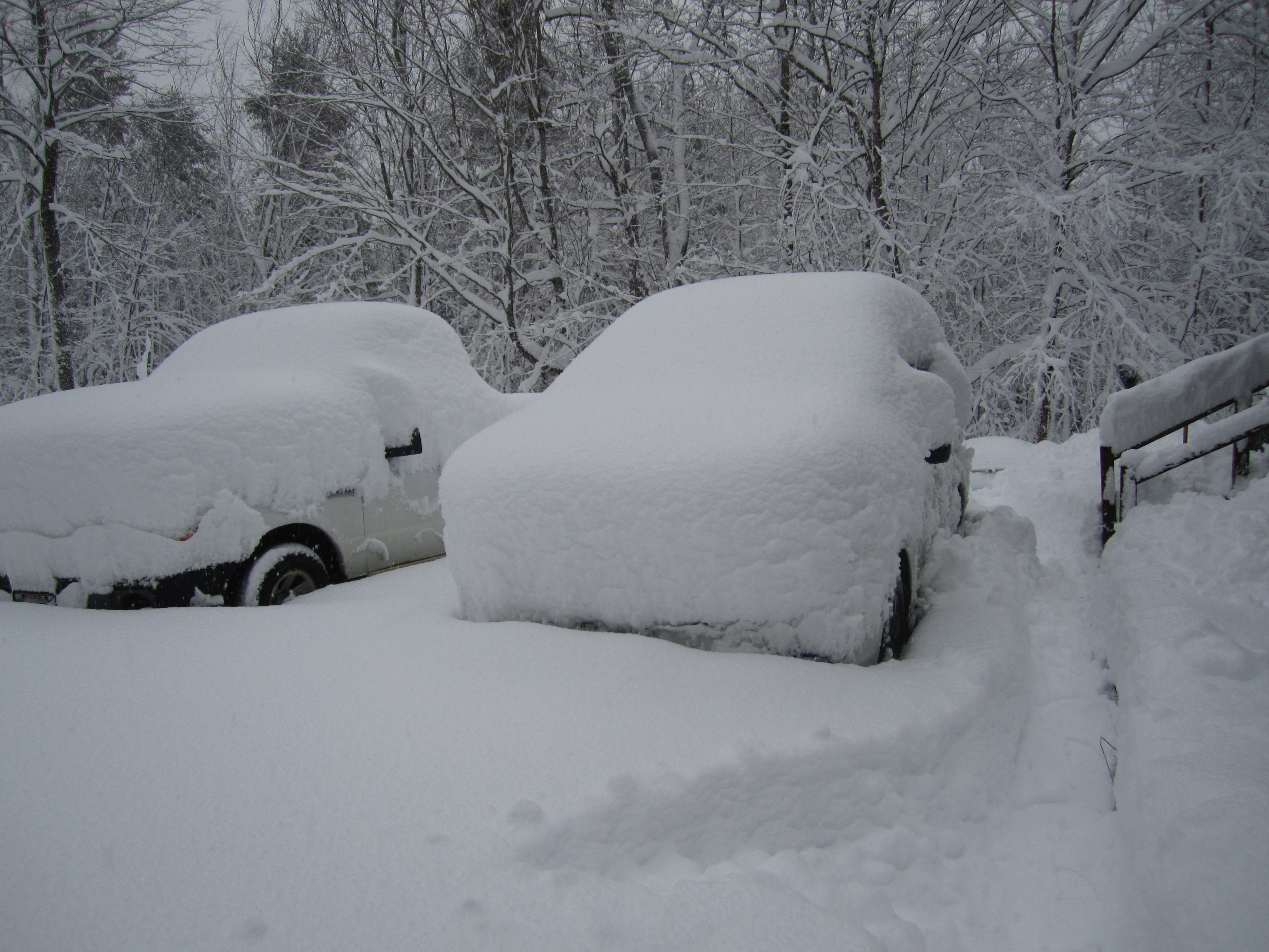
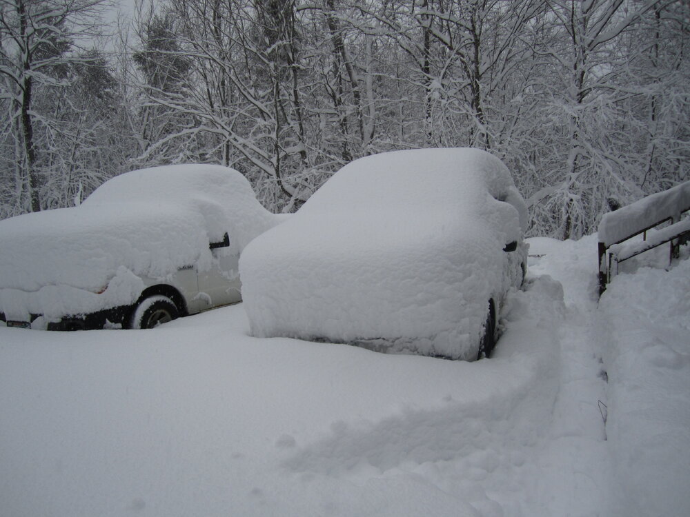
About 9 AM last Saturday, with another 3-4" to come, finishing at 22". About as tall a stair railing stack as I've seen.
-
Also October 2017 in Maine. CMP had about 500k customers w/o power, 10% more than the during the 1998 ice storm, though that earlier event caused far more infrastructure damage and thus much greater delays in turning on the lights. Probably serving 50-100k more customers in '17 than 19 years earlier, too.
-
Since retention is a significant part of my winter opinions, having 89-90 rank 3rd of 13 adds to its memory. (#1 was 93-94, #2 86-87. 95-96 was snowiest, more than 30" above 2nd place, but the thaws pushed its SDDs to 5th. Also, getting only grazed, 3.7", by the Jan KU subtracts from that winter's satisfaction.)
-
Wasn't too scary in this area. I lived in Gardiner, Maine then, and we had 5 warning criteria snowstorms in Jan-Feb and the 2 months totaled 51.5". Jan was indeed mild, warmest by far of our 13 Januarys there while Feb was only 0.7° AN. The Farmington co-op had 55" in those 2 months, with a 16" storm in late Jan and a max pack of 36" in early Feb.
-
Will be windy at Isle Au Haut Today Mostly cloudy, with a high near 40. East wind around 10 mph, with gusts as high as 20 mph. Tonight Rain, mainly after 1am. Low around 39. Windy, with an east wind 20 to 25 mph increasing to 30 to 35 mph after midnight. Winds could gust as high as 50 mph. Chance of precipitation is 90%. New precipitation amounts of less than a tenth of an inch possible. Friday Rain, with thunderstorms also possible after 4pm. Some of the storms could produce heavy rain. High near 51. Very windy, with an east wind 40 to 45 mph, with gusts as high as 70 mph. Chance of precipitation is 100%. New rainfall amounts between 1 and 2 inches possible. Friday Night Rain showers likely, possibly mixing with snow after midnight, then gradually ending. Mostly cloudy, with a low around 27. Very windy, with a southwest wind 40 to 45 mph decreasing to 35 to 40 mph after midnight. Winds could gust as high as 65 mph. Chance of precipitation is 70%. New snow accumulation of less than a half inch possible. Saturday Mostly cloudy, with a high near 30. Windy, with a southwest wind around 30 mph, with gusts as high as 50 mph. Saturday Night A chance of snow showers between 7pm and 1am. Mostly cloudy, with a low around 21. Breezy. Chance of precipitation is 30%. Christmas Day Partly sunny, with a high near 31. Windy.
-
The 12/21-22/08 storm dumped 15.5" at singles/low teens, and is one of only 4 events to meet all the blizzard criteria in 24+ winters here. Had an interesting late evening drive to Farmington at the height of the storm, delivering my son to his graveyard shift at the westerly of the town's 2 Big Apples.
-
The 2020 megaGrinch dumped 2.68" RA here, most with temp +/-50, quickly extinguishing the 5" pack. The event brought the Sandy River above flood stage, with the 21,200 cfs the greatest flow since April 2005. The current SWE is at least twice that going into the 2020 deluge, so I hope much of the 15-16" cold pack survives Friday.
-
I don't know about that, but on Thanksgiving Day in 2005 (11/24), there was a confirmed EF1 in Phippsburg and EF0 in (I think) Georgetown, midcoast Maine, during advisory-level snow, 3.7" with low 20s temp at my place, 2-2.5" at the coast.
-
Softwood stands are somewhat less vulnerable than individual fir surrounded by leaf-off hardwoods, unless the wind gets exceptionally strong, and as you note, shorter trees have lower leverage for the wind to work on.
-
That winter was quite frustrating here even though it brought 125% of average snowfall. I experienced 4 winter storm warning events - one in SNJ - that verified at 1/8 (or less) of the bottom of the forecast range, ending with the GYX "Valentine's Day Massacre".
-
It actually was in late January of 1977. BUF snowfall was large but far less than recent LES episodes, but the wind gusted near hurricane force, and some semis were nearly covered in drifts. Much less dramatic in Fort Kent but a memorable storm anyway, though it brought a comparatively modest 11", 10 of which came 1-9 AM. At 9 PM on Jan 28 the temp was 12°. By 6 AM it had popped up to 26 and 3 hours later it was 6°, both the mild and cold in SN+. Wind gusts to 50 and visibility between 100' and 1/4 mile all of Jan 29.
-
The evergreens, starting with balsam fir, are much more vulnerable during the leaf-off season. That said, the NW gales generated by the 1962 New Year's Eve Bangor blizzard tipped a lot of NNJ trees from all-hardwood forests, including some large white oaks, a species with a tap root and thus usually more windfirm. No actual measurements to offer, but IMO there were gusts reaching 70 from late on 12/30 thru most of 12/31. Only the Nov 1950 Apps Gale compares with that event in my personal experience. 12/31/62 had temp 5/-8 at our place, chilly for NNJ, but we had not heard of quantifiable wind chill back then.
-
Van Buren, along the St. John River in Northern Maine, had 57/47 that day, 41° AN. The County didn't get the deluge of farther south, generally <1/2". Only reached 54 at my place but had 2.6" RA during the warmest part of the storm. That day had a greater AN departure at our place than any other day on our 24+ years here, 1° more than March 22, 2012, the summer-in-March time.
-
Neighbor (and snomo club groomer pilot) had to cut a number of fir carcasses out of a relatively short stretch of the trail by our woodlot. If we get the big wind Friday (we're usually somewhat sheltered here) he'll have to do it all over again.
-
GYX discussion this morning talked 2-3" RA with higher in spots, total disaster. The "bigger boat" (sic) thread notes possible shorter warm wedge for NNE, and more CAD, which is what my snowpack survives on. Still a Grinch but maybe not a 12/25/20 type GRINCH.
-
That's somewhat comforting though still a major Grinch incoming. Unless that 7-8 hour period includes 2"+ RA at near 50, our area will retain decent depth for a white Christmas.
-
One of the bigger busts here - forecast was 8-12" (which verified 12 miles SE at Belgrade Village) but we got 1". A relative living at the eastern edge of AUG had 15". IIRC, GYX had 18", their biggest snowfall until Feb 2013.