

Dark Star
-
Posts
779 -
Joined
-
Last visited
Content Type
Profiles
Blogs
Forums
American Weather
Media Demo
Store
Gallery
Posts posted by Dark Star
-
-
39 minutes ago, CPcantmeasuresnow said:
Yes but most of us up here got 10"-15"
Sort of surprising at this went farther south and somewhat east? Of course, Union County in NJ got into a "snow hole" and never really recovered. Sun started trying to come out by about 8:45 AM.
-
6 minutes ago, Rjay said:
Luck is luck brother
Jeff Beradelli used to have great reviews of what went right and what went wrong with the different modeling and forecasts, after a snowstorm. That would be much easier than reading through all the clutter (including mine).
-
 2
2
-
-
5 3/4" in Garwood. We wound up in a screw zone, just as intensity became heavy around 7:30 this morning, it began to taper off. Snow just became moderate again about 20 minutes ago. However, if we end up with 6", I can't complain; would have liked to have seen/heard some thundersnow...
-
2
-
-
3 minutes ago, ag3 said:
What are you saying? Radar looks great and is pivoting.
4 minutes ago, ag3 said:What are you saying? Radar looks great and is pivoting.
Let the event play out.
Play out? This thing is OVER here. I thing I got hosed...
-
Switched to light snow and occasional bright spots. Looks like this is winding down for central Union County NJ.
-
Getting much brighter at times here in Garwood NJ...
-
1 minute ago, Bxstormwatcher360 said:
The back edge is slowing down too,as it cranks and pivots. Any slower movement and amounts increase for all of us.
Hope your right, storm seems to be pulling away even faster? 3.5" here in Garwwod NJ, central Union County. It was snowing heavily, but has backed off to just moderate...
-
1
-
-
5 hours ago, TJW014 said:
HRRR ever so slightly cooler, and inching south
Wow, any further trends south could be hardly anything for NYC?
-
1
-
-
19 minutes ago, USCG RS said:
My 2 Cents: Those in the fringe areas, treat this as if it will be a hit and take precautions, especially NYC, LI, NW and CNJ and SE CT on up through SE MA. This snowfall will be incredibly heavy where the axis sets up and you do not want to be caught off guard. This is the type of snow which creates traffic havoc and can lead to some of these horror stories you hear of when people are stuck for extended periods of times. Not saying it will be apocalyptic, but something to keep in mind and prepare for.
Dunno, I don't think any MAJOR roadway in NYC (proper) will be terribly affected?
-
2
-
-
1 hour ago, Evie3 said:
I am unqualified to comment here, so please excuse my lack of education, but I seem to vaguely remember that happening here in Somerset County NJ during the big snowstorm in January 1996 - the storm that shut down the state for a few days. Granted that was an usual storm and I'm sure the temperature profile preceding it was more favorable.
As I eluded, there are exceptions. January 1996 was a huge snowstorm with no temperature issues. Tomorrow is a marginal storm, where it all has to go right...
-
39 minutes ago, NJwx85 said:
To be fair, the dry slotting would be temporary following by several hours of backend snow as the system moves East.
You can kind of see the possible dry slot here on the 12K NAM.
For areas along I-80 and points North this is going to be a very big snow storm.

Just my 2 cents, I have never seen "signifcant" accumulating snow in a marginal temperature situation where dry slotting has occurred at some point during the storm. I don't think it is very common to have a dry slot, followed by heavy accumulating snow under any conditions in the immediate NYC metro area?
-
 1
1
-
-
19 minutes ago, SBUWX23 said:
Im pretty sure nws forecast accumulation that is not on road surfaces
I would assume that to be true for most major highways. Local streets would be another story, if rates actually occur?
-
15 minutes ago, LongBeachSurfFreak said:
What eventually happens in the city will come down to banding. As this is a dynamic rapidly deepening system with plenty of moisture, 2” hour type bands should set up during the hight of the storm. If they end up over the city, it will accumulate even on pavement. I think the November rush our crusher attests to what rates can do. If we end up with .5” hour rates, it’s a grass storm. (City)
Banding? What exactly will be the causes? Won't rates be fairly uniform, depending upon your location in relation to the center of the low?
-
24 minutes ago, NJwx85 said:
This isn’t a late season storm. We have a long history of getting big snows in mid February. We have about another month. After March 10th it’s pretty much over for I95 unless we end up with a very anomalous pattern.
Given recent model trends and a significant shift southwards, closed 700mb low South of LI favors a band of heavy snow tomorrow for a few hours near I-80/287. Wouldn’t be surprised to see a few 12”+ reports especially in the higher elevation areas of NW NJ into Orange County, NY.
I like 4-8” for the Bronx and Southern Westchester. 6-12” North of HPN. 3-6” for Central Park and 2-4” for South facing Brooklyn and Queens. There will be a Southerly flow to start which will cause mixing issues and the 700mb low close proximity could cause dry slotting in Central NJ and South shore of LI.
Could be one of those storms where SI sees 3-5” and Sandy Hook gets nothing.
Any type of dry slotting with marginal temperatures spells no accumulation for coastal areas...
-
this morning's temperature profile looks colder than yesterday's. Still, not ideal for significant snow in the NYC metro area, but definitely improved. If a little more cold air can leak eastward, we might have a better chance, especially if snowfall rates are grater than 1" per hour?

-
29 minutes ago, weatherpruf said:
Isn't this really the time of year when this kinda thing can happen though....read somewhere the NA's used to call it the snow moon or something; my neighbor's birthday is coming up and he said all his life it has been snow near his birthday.
February has traditionally been the snowiest month, but March is when "anything" can "happen"...
-
2 minutes ago, MJO812 said:
It's amazing how this happens all the time. What's the point of tracking a storm over 120 hours out , heck even 84 hours.
I agree, but you can begin to track a storm that far out, as long as you look at other things besides the model outputs. There was never going to be any cold air to tap into...
-
1
-
-
1 hour ago, David-LI said:
I have a feeling this is the type of storm they forecast 2-4 but it ends up being 8-10
Snow or rain?
-
 1
1
-
-
3 minutes ago, MJO812 said:
Why do I waste my time losing sleep over models when they keep doing the same crap over and over again ?
Live by the models, die by the models. One might ask themselves, is this model correct? WHERE is the even remotely marginally cold air coming from?
-
1
-
-
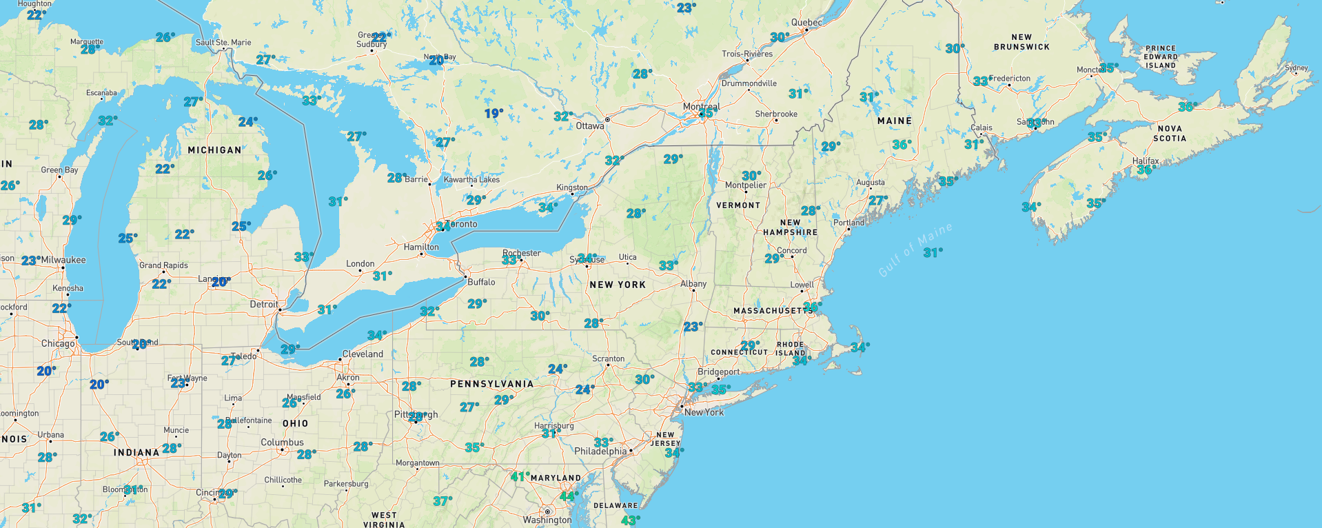
2 minutes ago, donsutherland1 said:
Its deepening will bring in some colder air, but the overall air mass involved isn’t especially cold. There might be some moderate wet snow at the height of the storm, but it will be a fast mover. Most of its precipitation will fall over a 12-hour period and it won’t all be accumulating snow.
This morning, Quebec is generally in the mid 20s. Obviously this will change, but this area will likely warm as temperatures are expected to hit near 60 in NE Jersey on Saturday. You would need some rapid cooling in Northern New England Sunday into Monday for any cold air to be tapped into?
-
2
-
-
4 hours ago, LibertyBell said:
It's interesting Don, we never heard the term "atmospheric river" back in the 80s, 90s, 00s, or even the 10s.... it only started being commonly used now. In previous decades we used to just call them Pacific coastal lows.... why is this term being used more frequently now and why don't we use this term for Atlantic coastal lows too?
Methinks "Atmospheric Rivers" is a media created term, and it stuck.
-
2
-
-
15 minutes ago, Volcanic Winter said:
Past couple nights I actually radiated down to near average lows, feels like a tremendous feat! 22 right now, average low is 21. Same as the night before.
It’s really wild how much of a struggle it is for us to hit our average low temperatures anymore. It seems like it’s far easier for daytime highs to be NN/BN than low temperatures.
This has something to do with excess moisture in the air / humidity blocking the ability to properly radiate heat at night? Just the sheer persistence of AN nightly lows is interesting to me.
What was your lowest temperature so far this season?
-
1
-
-
31 minutes ago, LibertyBell said:
Are all signs of the Western drought gone, Chris? No more dangers of empty reservoirs, lakes dry, visible lake bottoms, etc.?
Unfortunately, even with flooding reservoirs, this volume will not last the entire year. Much of it is wasted, as flood waters spill into areas not used for potable water uses. What seems to be the key, in California, is enough "stored" water, in the form of snow in the mountainous areas.
-
1
-
-
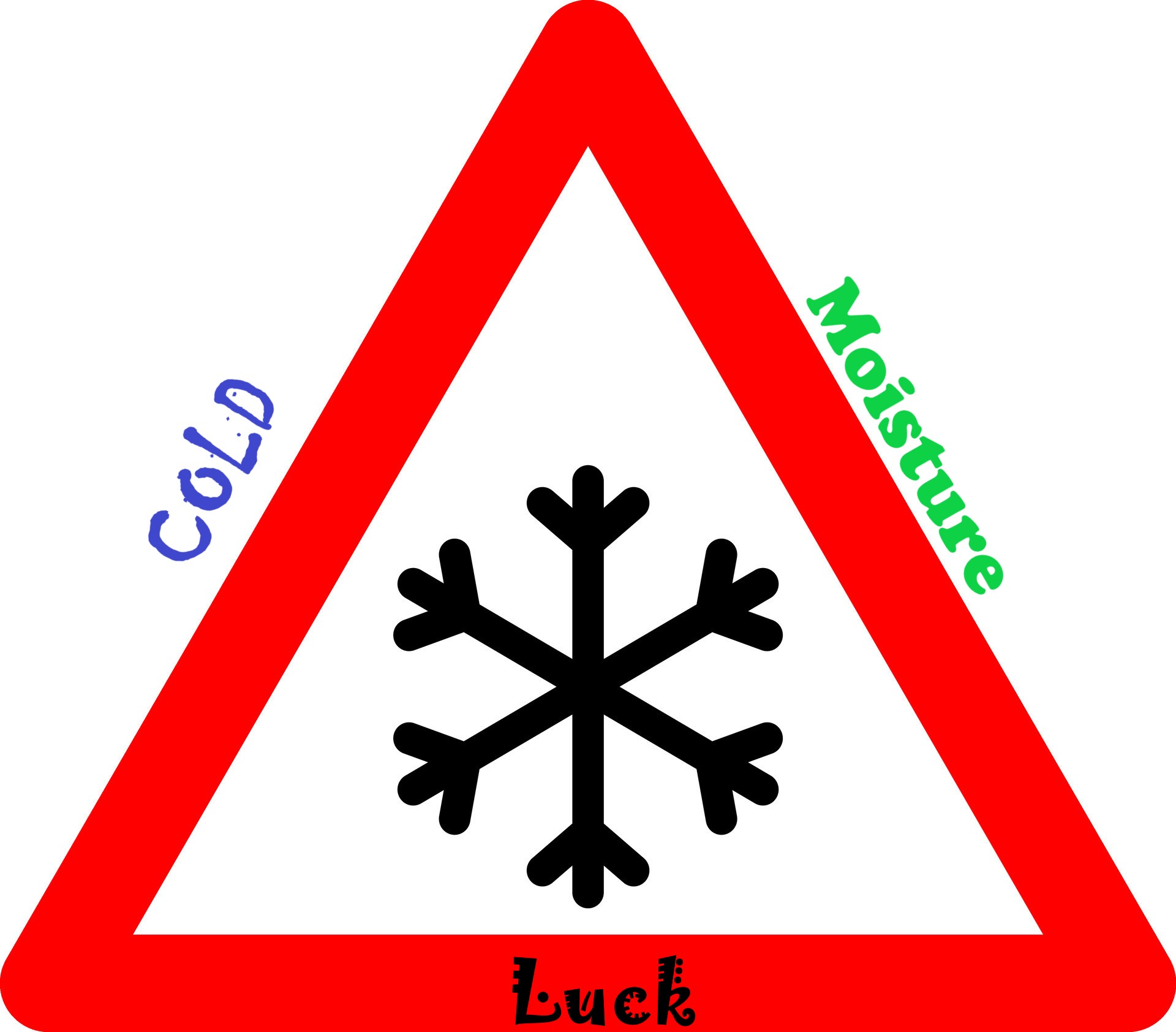
1 hour ago, the_other_guy said:
That explains the lack of snow.
Although some posters are trying to disconnect the two, you cant snow when it is this warm, especially in an uber Urban environment
Which is why I developed the Snow "triangle" for the greater NYC metro area...

-
2
-
2/13 Significant/Major Winter Storm Discussion & Observations
in New York City Metro
Posted
They'z full of crap.