
dmcginvt
-
Posts
547 -
Joined
-
Last visited
Content Type
Profiles
Blogs
Forums
American Weather
Media Demo
Store
Gallery
Everything posted by dmcginvt
-
It seems like it changes every year. oh do 10:1. no do kuchie. I think it depends on temps (obviously). If temps are marginal or really cold kuchie is better, as it will show 7:1 or 20:1 better than 10:1. Am I wrong in this thinking?
-
1:26 last night!!! and thats now, pls to fix pf
-

-
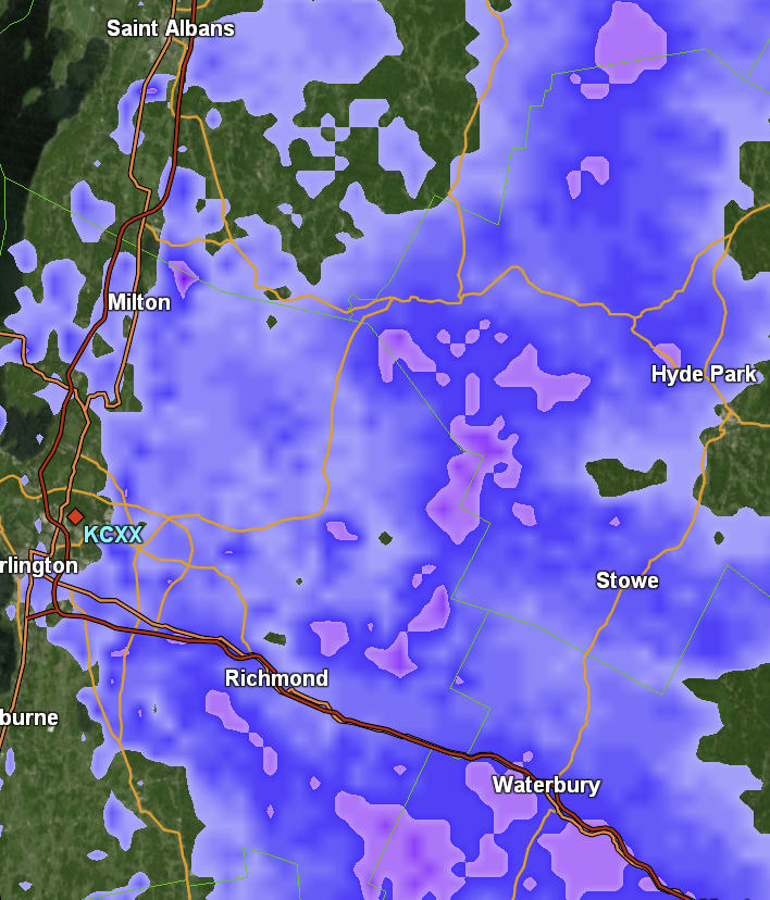
lol no the snow isnt making it over the mtn at this time which would make the snow windward assuming the other side is getting more snow ie underhill, also whats up with the lookout cam its so broken i live by that thing!!
-
Although Sugarbush cams dont show it. Its all windward side.
-
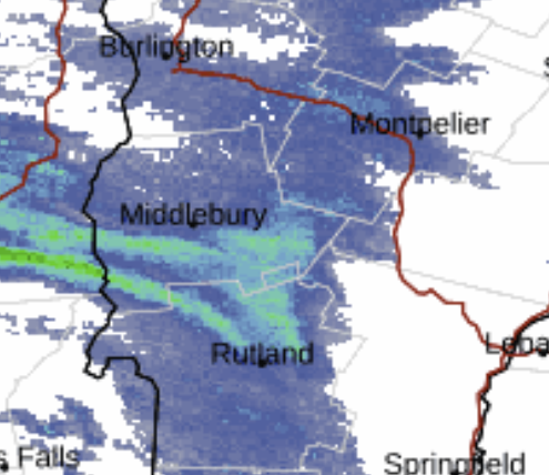
\ surely that number south of midd is going up
-
my ex lives a few units away up there...she never liked snow like me yet there she lives at bolton. Oh the irony.
-
Thats some snow now hitting lincoln gap and s kilington getting crushed
-
fair, I see a cold month, I see nne getting endless little bits as pf likes to call nickle and dime. I see mass missing out. And the MA getting what they havent had in years. Just what i see, And Ill probably be wrong since Im only looking at the ensembles
-
ray says something to George that isnt anti george.
-
I usually show up as storm spotter. I didnt report because i wasnt being accurate! I hate spewing and skewing bs:)
-
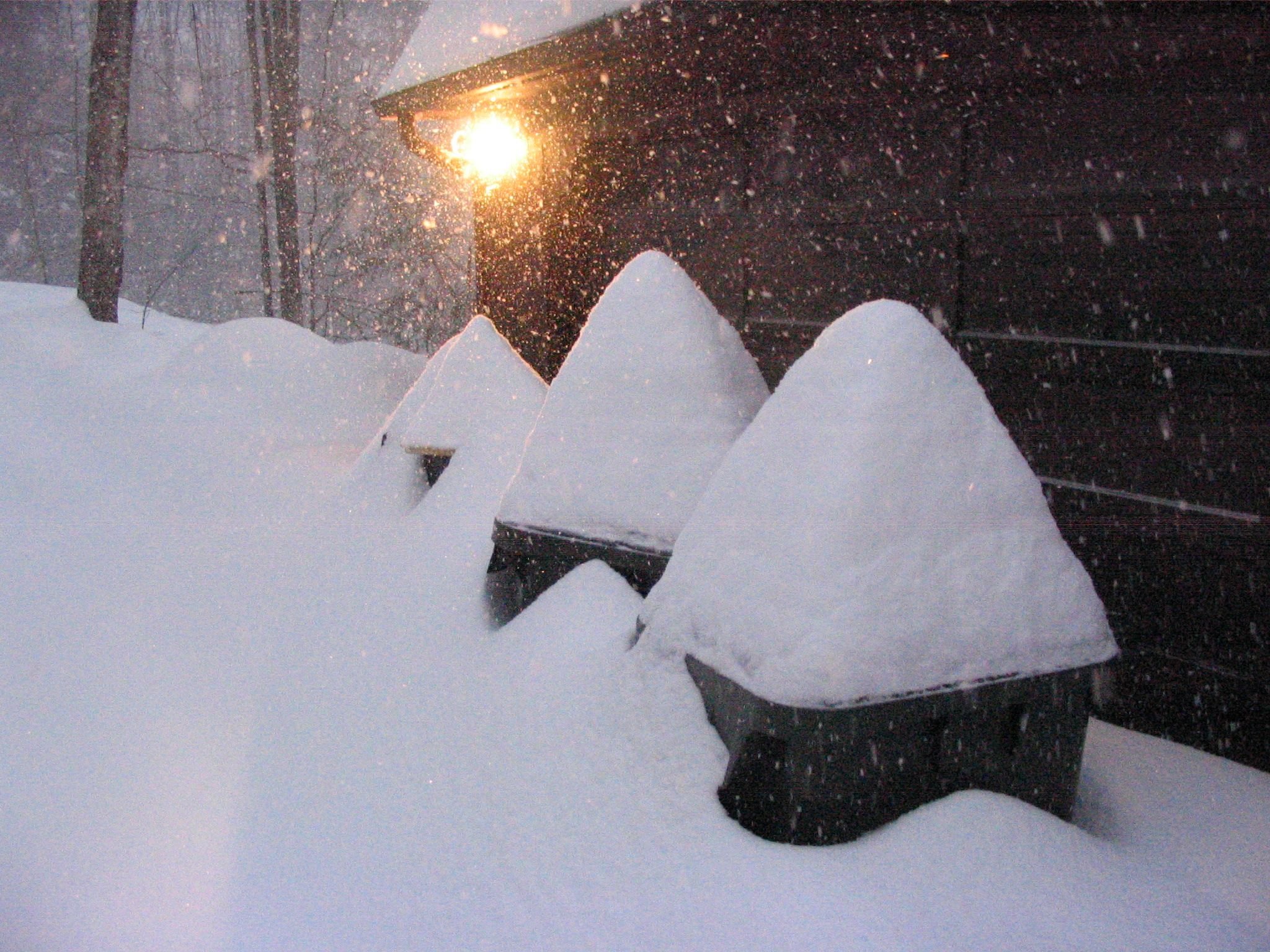
I measured 10 on my car but it was sooo windy Im going with 7-8 here a few miles s of you. Nice storm! I see nothing synoptically for quite some time but I think we will nickel and dime ourselves to a very healthy Jan...happy for the Mtn to dominate all the upslope to keep my plow bill down
-
lol well it happened and "the front" opened :) I got 7-8 here at 820'
-
Do I need to join coop? Because Im not getting up at 7am
-
how do we get access to vt-ws-19?
-
December 2024 - Best look to an early December pattern in many a year!
dmcginvt replied to FXWX's topic in New England
Wow, worked in the race dept running the nastar course for years before they nixed it. Needless to say I know that trail well. Im interested in the path water takes and that picture is funny to me because that a part of the trail that bumps up when not groomed. Not sure of the correlation there but interesting/ -
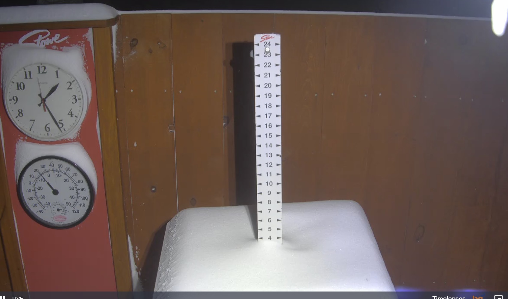
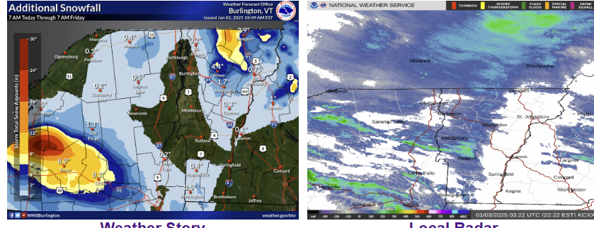
I think this upslope is over-performing on Mansfield. 1in/hr started at 3 still going strong approaching 11" 6" here at 820' Love nickle and dime snow at Stowe. Blew Sugarbush out of the water Stuck right there on Mansfield


-
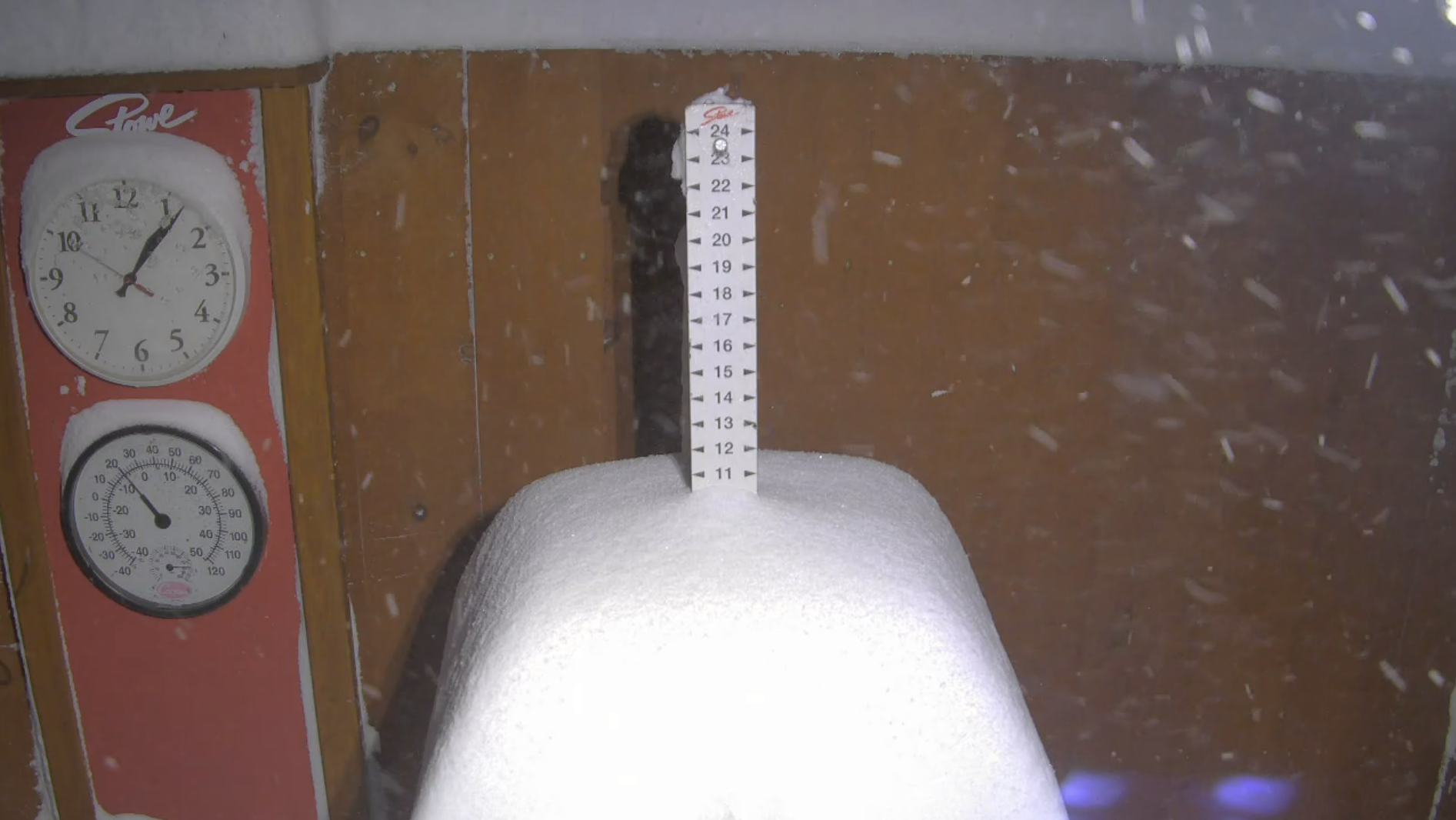
Man Got pounded for a bit there, up to 6 inches at 820' on gregg hill. Mtn passed 9 closing on 10. Just nuking there. Classic upslope\\
-
Bought a pass at Stowe for the first time in 6 years after breaking my leg playing hockey. Cant wait to ski.
-
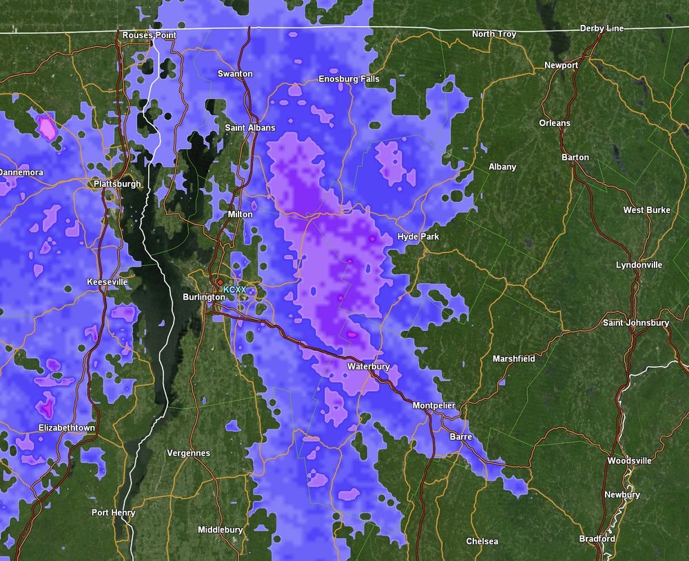
XOXOX Jspin. Here in waterbury center it just keeps snowing. Here and there. We are getting a tiny feed off Lake ontario. Just enough moisture. Im only at 820 and on a leeward side of bolton. but I know the upper elevations are doing better. I love our microclimates.
-
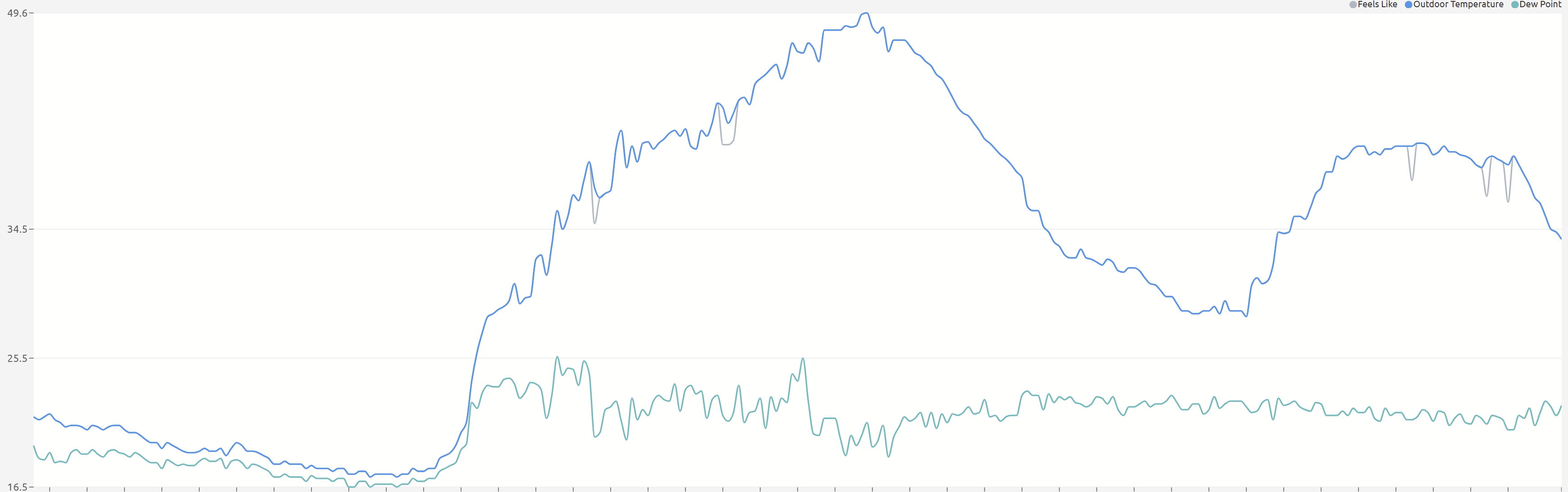
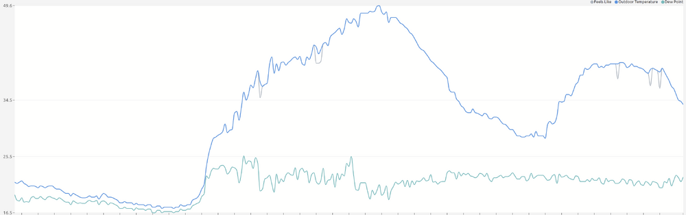
Weird warmth spike tonight that didnt happen everywhere. Went to 28 then to 40 fast.
-
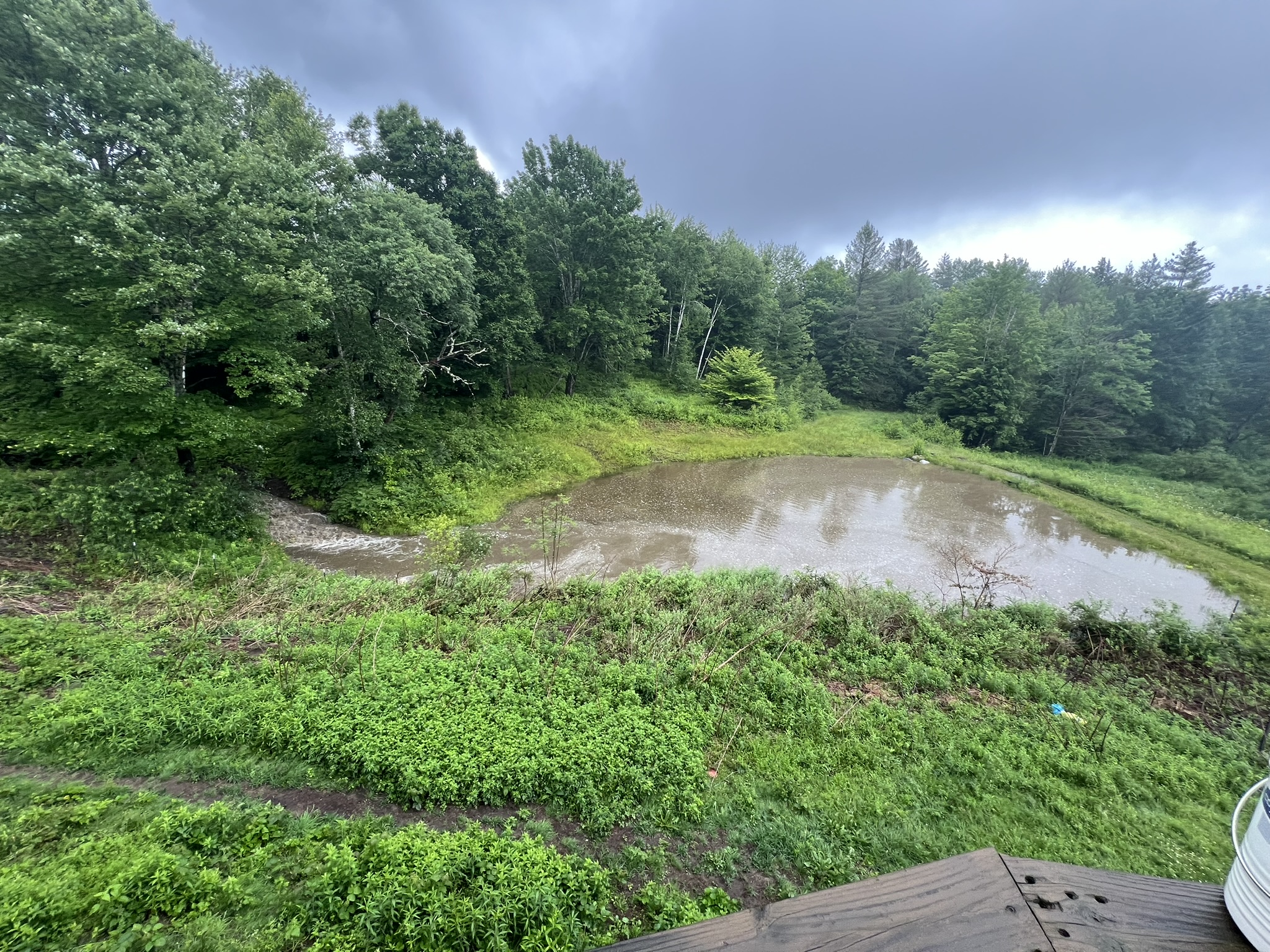
Man 3rd 100 yr flood in a year coming tomorrow for N VT? I got 8 inches in June and 4 inches tomorrow is gonna do a number.
-
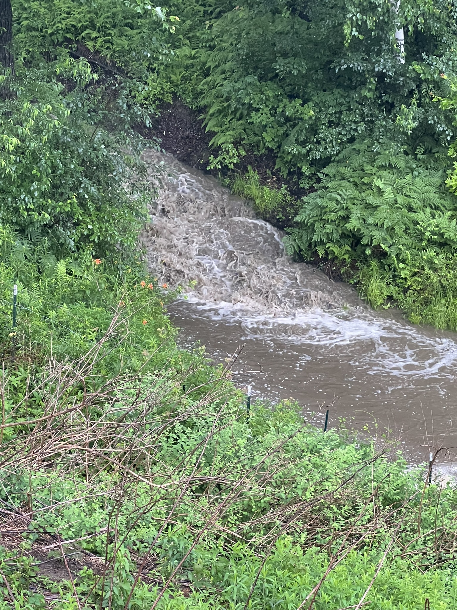
1.5 inches in 40 minutes here. This stream into my pond is usually a foot wide


-
Circulation came within a mile of me but if anything was in there def rain wrapped
-
yup and coming right at me