
dmcginvt
-
Posts
547 -
Joined
-
Last visited
Content Type
Profiles
Blogs
Forums
American Weather
Media Demo
Store
Gallery
Everything posted by dmcginvt
-
1/9-1/10 Now Morphing to Less-Than-Exciting Power Cutter
dmcginvt replied to Torch Tiger's topic in New England
Just cleared of the rail (not my snowboard) https://share.icloud.com/photos/06cn9HTsna9RiYi9s5nHwoYDg -
1/9-1/10 Now Morphing to Less-Than-Exciting Power Cutter
dmcginvt replied to Torch Tiger's topic in New England
Its puking here, an inch in the last hour easy. -
What a wild place you live in. I have been paying attention to your measurements for years but especially since I lived in the Village from 2015-2018, and since I've live on Gregg Hill at 820ft since 2019. In the village I never beat you, you always had more. But since 2019 at GH in a few elevation events I beat you handily, but I do see looking at point forecasts that they are calling for 3-7 for me and 4-8 for you. Of course my old village location shows 4-8 too. Snowing nicely out there right now that's for sure and we are nowhere near the meat for a few hours., The microclimates of Vermont intrigue me. The Garfield Section of Hyde Park/Moville/Wolcott the most. Its a magical place
-
Just started snowing Moderately here
-
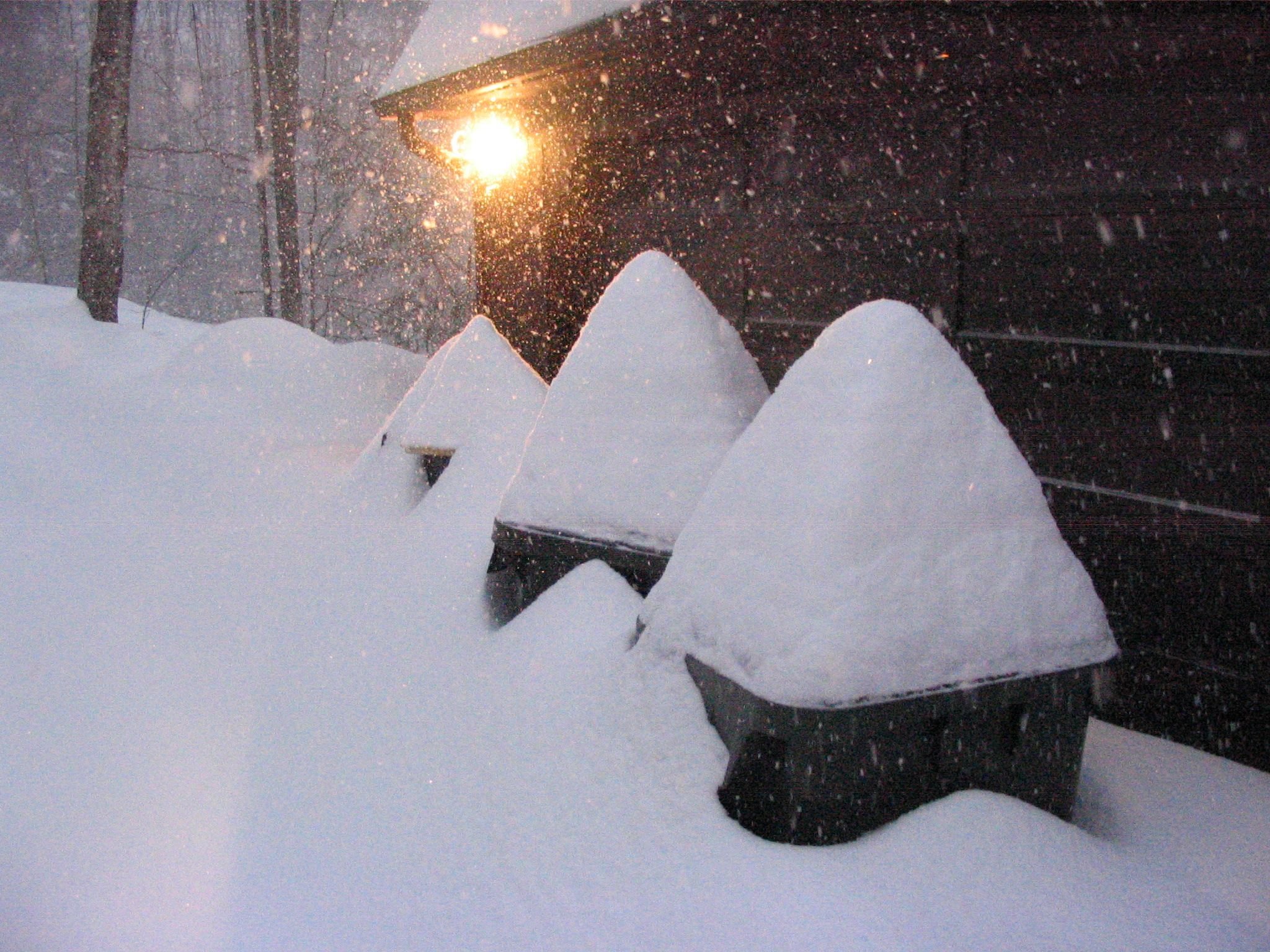
settled at 7.4, midway on Gregg Hill In Waterbury Center. 820'. Good storm.
-
LOL Ill answer for him. He was against anyone saying more than 12. But boy I saw ocean effect on the north shore get this thing going so much so that my sister said I got a few inches and then it stopped this is a bust. And I said what you shouldnt even have snow yet the storm hasnt started!! (the ocean effect confused her) And then so much enhancement. And the track was just perfect. for NE MA. Everything came together perfectly
-
So happy for you to jack!!! Wooooooooo, You have been waiting a while for this, enjoy for 2 days
-
Radar says you are not totally done but what is your final Ray? I got 7.4 and I'm delighted. I said you could get a foot, but settled on 7 to cover my ass. My sis in Southern North Andover (which has a really weird boundary that isnt wide but runs a long way N to S) said she is looking at 14 but I dont trust her measurements at all, that being said it did wail on her for the past 2 hours judging by the vids I saw huge flakes just pouring down
-
We are happy as well. It's rare we do so well when Mass does so well. Not that Taunton had amazing totals but 6 is nothing to sneeze at, and I'm happy with my 7.4". Although we have already had snow it's nice to have it back after the 3rd huge flood in 12 years.
-
7.4 in the middle of Gregg Hill. Never wiped the board so there was some compaction but it was so light it was miniscule. Also glad to see Mansfield FINALLY has a live cam and I don't have to look at Sugarbush all the time( but of course I still will). The Allyns seemed to do a bit better. The heavens gate cam must be in the worst spot. You could see it snowing hard and yet hardly changing. That being said the Live Stowe cam needs a windshield wiper like the bush ones
-
Frost Lush, they call everything a variation of Lush. I love them all. Im an alcoholic who loves the weather, and gets especially drunk when a storm comes. Im old and dont care. I have lurked for years and sort of know you all. But I am NNE so mainly lurk there, but I lived in Mass and Philly so I visit places.
-
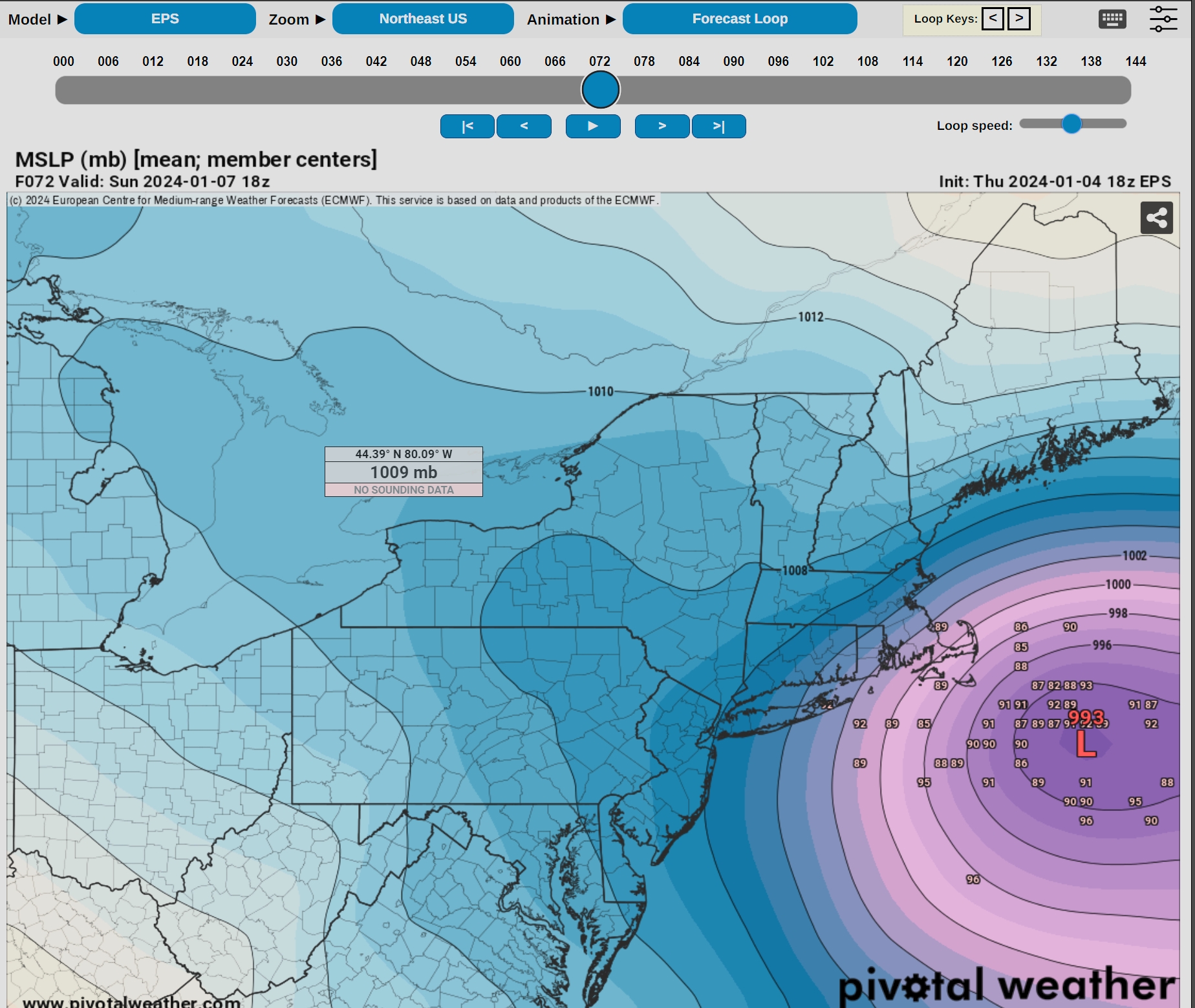
Ray, NWS is offering more? How do you feel about that? 3-5 and then 5-9.
-
I hope you get a foot. I know you dont expect it. Ill be happy with 4 for you. Im guessing 7, but here's to the hope. You deserve it and earned it really. Fingers crossed bro!
-
Im not sure what that would do for you? If your shit actually had tentacles! Would it always think of every storm in Methuen as the end all and be all?
-
Fantasy right now
-
some serious fgen there on the coast, curious what gfs will show done with the nam
-
Staying the course it seems
-
Its the nam not within 48 hours
-
That's the worst. I'd drink more, but I am a drunk
-
@mreaves WE have our beer, but more importantly we have our latitude. We will get the snow in Jan. Ill bet the snowmobile trails will open up everywhere in the next 2 weeks
-
I like lush, seriously frost brewing has the best ipas, never turned down hill farmstead. Or Hyde Park's Ten Bends
-
Let's talk about severe. You guys will get this storm, and then the rain will melt it all leading to flooding. Just the atmosphere pushing south as it does in the winter. A redux of what happened here weeks ago. Nice snow, bam heavy rain, double the qpf into the rivers. Enjoy CT river valley
-
no only dipa's for me
-
lol im drunk so it does but I dont see much snow affecting that total down there, my bad