
winter_warlock
-
Posts
3,386 -
Joined
-
Last visited
Content Type
Profiles
Blogs
Forums
American Weather
Media Demo
Store
Gallery
Everything posted by winter_warlock
-
January 24-26: Miracle or Mirage OBS Thread!
winter_warlock replied to Jebman's topic in Mid Atlantic
That's what I was thinking. I'm curious to see what the upper air data shows for the 00z model suite!! -
January 24-26: Miracle or Mirage OBS Thread!
winter_warlock replied to Jebman's topic in Mid Atlantic
Hell yess -
January 24-26: Miracle or Mirage OBS Thread!
winter_warlock replied to Jebman's topic in Mid Atlantic
Interesting. Just out from LWX!!! "If anything, perhaps some guidance leans slightly slower in terms of a transitioning to sleet Sunday morning. However, not buying into that just yet, and would like to see the 00z guidance roll in with the latest upper air data around the country. Could be something to watch though, as a slower onset of sleet in any one given location could make a significant difference in snow amounts. Will be something to watch this evening into tonight." -
Yup!!
-
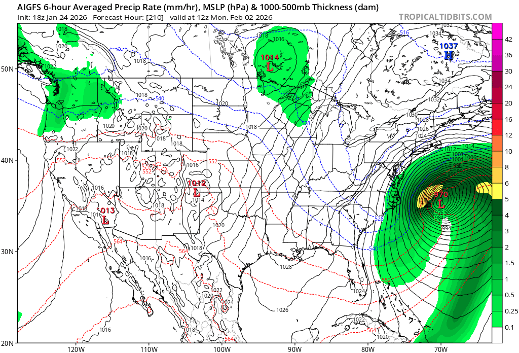
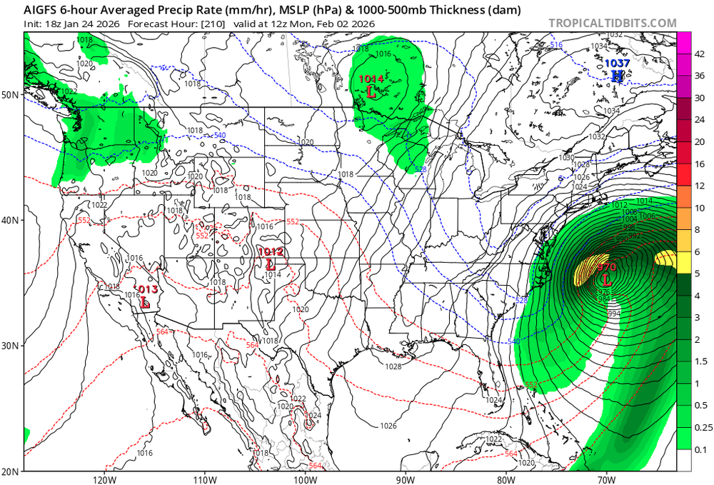
18zgfsAI. Still has the storm for next weekend albiet off shore but I'd rather it's there a week out then inland
-
Jan 24-26 Weekend Snow and Sleetfest Model Thread Part Tres
winter_warlock replied to H2O's topic in Mid Atlantic
I hope I get at least 8 inches before any change over. And I mean a real 8 inches, not what I have my current wife thinking 8 inches is -
Jan 24-26 Weekend Snow and Sleetfest Model Thread Part Tres
winter_warlock replied to H2O's topic in Mid Atlantic
Appreciate the brutal honesty -
Jan 24-26 Weekend Snow and Sleetfest Model Thread Part Tres
winter_warlock replied to H2O's topic in Mid Atlantic
Probably sleet accumulate after that -
Jan 24-26 Weekend Snow and Sleetfest Model Thread Part Tres
winter_warlock replied to H2O's topic in Mid Atlantic
Which is more accurate. RRFS new nam or the old nam? -
Jan 24-26 Weekend Snow and Sleetfest Model Thread Part Tres
winter_warlock replied to H2O's topic in Mid Atlantic
Yeah Randy's been saying 6 to 10 all week!!! If we do get 6 to 10 I'm gonna ask Randy for lottery numbers -
GfsAI has the storm end of next weekend. Albiet off the coast
-
January 24-26: Miracle or Mirage JV/Banter Thread!
winter_warlock replied to SnowenOutThere's topic in Mid Atlantic

-
January 24-26: Miracle or Mirage JV/Banter Thread!
winter_warlock replied to SnowenOutThere's topic in Mid Atlantic
-
Jan 24-26 Weekend Snow and Sleetfest Model Thread Part Tres
winter_warlock replied to H2O's topic in Mid Atlantic
That's an impressive expansion of precip!!
-
Jan 24-26 Weekend Snow and Sleetfest Model Thread Part Tres
winter_warlock replied to H2O's topic in Mid Atlantic
With these frigid temps this next week I have no doubt the bay will freeze. Especially where I live in Baltimore county -
Jan 24-26 Weekend Snow and Sleetfest Model Thread Part Tres
winter_warlock replied to H2O's topic in Mid Atlantic
Well it's a week out . After this storms turn north I'll take a whiff a week out. A whiff now could mean coastal by then -
January 24-26: Miracle or Mirage JV/Banter Thread!
winter_warlock replied to SnowenOutThere's topic in Mid Atlantic
Now u got me curious what ur Ravens joke is ! -
Jan 24-26 Weekend Snow and Sleetfest Model Thread Part Tres
winter_warlock replied to H2O's topic in Mid Atlantic
Wow shows 5.7 Inches of sleet in southwest Virginia!! That's just insane lol -
January 24-26: Miracle or Mirage JV/Banter Thread!
winter_warlock replied to SnowenOutThere's topic in Mid Atlantic
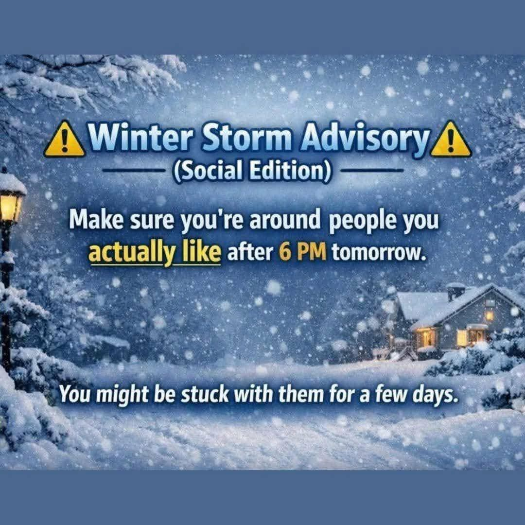
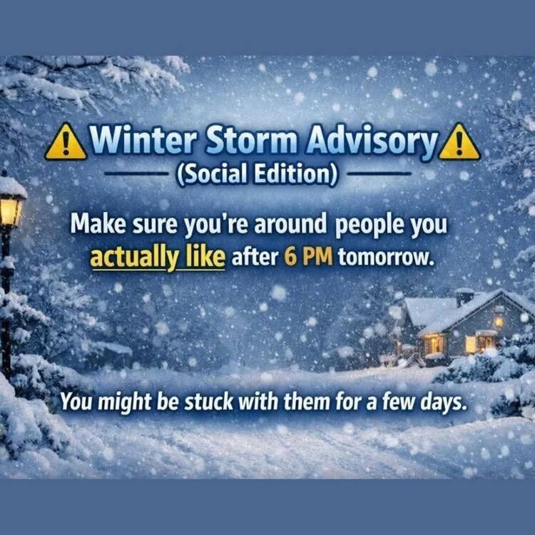
Here's my forecast for this storm!!
-
January 24-26: Miracle or Mirage JV/Banter Thread!
winter_warlock replied to SnowenOutThere's topic in Mid Atlantic
With the storm this weekend and the one next weekend... Gonna be a lot of sleepless nights!!! I'll be dragging ass at work all week !! -
January 24-26: Miracle or Mirage JV/Banter Thread!
winter_warlock replied to SnowenOutThere's topic in Mid Atlantic
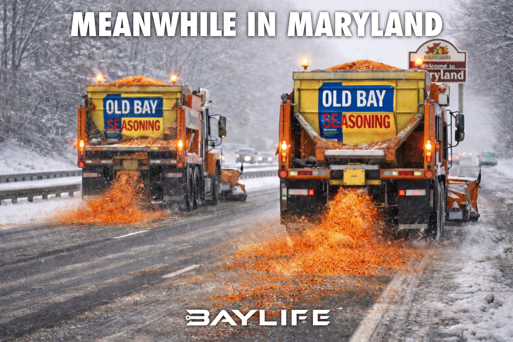
This is how we salt the roads in Maryland!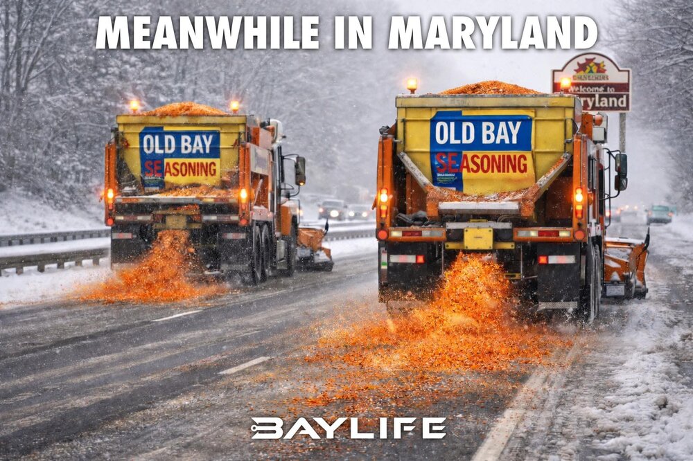
-
Jan 24-26 Weekend Snow and Sleetfest Model Thread Part Tres
winter_warlock replied to H2O's topic in Mid Atlantic
Almost keeps me all snow!!.. almost.. like the trend 12 z gave!! -
Well seeing that southeast like that 10 days out is a good thing. Has room to come nw.. unlike our current storm
-
Definitely increase on the Ukmet!!!
-
I noticed they got small craft advisorys for up and down the bay for gusts if 30 mph that combined with low visibility makes me wonder if that approaches blizzard criteria