

psuhoffman
-
Posts
27,417 -
Joined
-
Last visited
Content Type
Profiles
Blogs
Forums
American Weather
Media Demo
Store
Gallery
Everything posted by psuhoffman
-
Gefs and eps are similar wrt h5 progression but the eps is simply more suppressive under the block next week so the west to east boundary storms ride is further south which is better for us. Not shocked the euro op caved to gfs progression wrt the northern stream though since the eps always favored that progression. It never had much support. The split can still work (as we saw on last nights runs) if the block asserts itself enough.
-
@Ji the December setup wasn’t bad. Rex block north of AK. Ridging extending into Greenland. 50/50. Nice trough in the MS valley. We’ve snowed in much worse.
-
Yea but that storm happened before the pattern got amazing and it was waAY before peak climo That was a pretty good pattern mid December that week.
-
That was a rare historic storm. Not here but it out down 40” in places and a huge area of 10”+. Your bar is ridiculous
-
@stormtracker para remarkably similar to op gfs but adjusted south...
-
I’ll take crazy too much blocking solutions at that range. Doubtful it verifies. You back the blocking off some to allow the trough out west to progress east and that was a big solution
-
That wave on the CMC on the 22nd isn’t the one the GFS amplifies. It gets squashed. The cmc then suppressed the wave on the 24 that the GFS gives places north of DC snow. The wave on the 22 has no real chance if the trough splits our west. The airmass isn’t cold enough yet.
-
Read my last post to Ji. Block stops the whole trough from progressing. The system cuts west of it, occludes and dies.
-
The high should hold right? Thats why we pay big bucks for blocking This run the block actually retrogrades so far SW (into central Canada) that it blocks the trough in the west from progressing east at all. So it ends up a crazy solution. A little less extreme and that system comes east under the block instead of cutting up west of it then occluding.
-
That energy is digging west in response to the pac ridge and it’s going to try to cut...but look at the blocking and confluence in its way and there is a lot of cold in front. Let’s see how this plays out...
-
Here comes the energy for the “big” threat. It’s slower this run. But fits the progression
-
@Ji 2 ways to look at this... 1. Models are all over which does decrease confidence in a specific solution. Not that there should be any at this range. 2. The gfs and euro take radically different progressions and both end up snowing on you. That is indicative of the potential this blocking regime creates.
-
Didn't that use to be the euro bias,? Yes
-
You must have taught it everything you know!
-
It’s soooo close. Not too far north of DC stays all snow. Big jump the right direction. Man get that NS POS out of the way and this was a DC snowstorm. But it’s at a range where this was good enough.
-
Block is exerting a lot more pressure this run. Might be a better solution despite split but it’s gonna be close. Cold press coming but that NS feature wrecked the airmass in front first. Will have to get in just in time if it works.
-
That split is a problem. The energy in the SW gets stuck and waits and the front runner that comes across Canada wrecks the flow in front.
-
Euro Gfs
-
Gfs already doing what it was doing last few runs different from the euro...splitting the western trough.
-

January Storm Term Threat Discussions (Day 3 - Day 7)
psuhoffman replied to WxUSAF's topic in Mid Atlantic
Really nice vort pass on the 19th but no surface reflection. If we’re looking for some dark horse long shot to pop up short range that could be the one. Wouldn’t take much surface reflection to at least create a minor event out of that. -
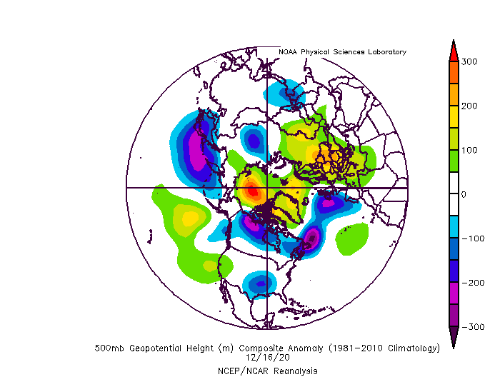
One of the contributing factors to the fail of the last pulse of the high latitude blocking was the orientation and progression. The wave break in the Atlantic was mediocre, the NAO ridge was actually enhanced by a mid latitude ridge originating from the pac that transported poleward and linked with the NAO ridge. The result was an elongated inverted omega block extending NE to SW and instead of retrograding it faded northeast. That is not really the greatest configuration or progression for is to score. There were other contributors like lack of cold and fast pac jet but the block itself wasn’t ideal. This next iteration looks like a much more “classic” progression.
-
I am not saying the wave around the 22-23 couldn’t work. It’s has a decent shot. Just saying imo the progression gets even more favorable just after that.
-
I’ve been wrong plenty of times too though. Lol that one in 2016 was easy to see the setup from REALLY far out. Even though it didn’t really show on ops until about 9 days out the setup was crystal clear well before that from the way the pattern was progressing although I think I might have originally targeted a day or two too soon as the wave slowed a lot. I also “saw” that 2011 and the Feb 2010 storms from really far out but those were slightly less difficult patterns. The blocking was similar but we didn’t have the raging pac jet we do now. That complicates things. I would not put this threat (late Jan) quite at the same level of confidence as those long range calls. But it’s very good. If those were level 10 (for long range) this is an 8 level. There is more that could go wrong here with the current pac but it’s still a very good chance. I am intrigued by the progression. We’re kind of stuck in a squeeze play. The EPO ridge will put more cold into the US. It will be centered out west initially but it will bleed east under the block more behind each wave. At the same time as the NAO Rex block retrogrades SW from Greenland into Northern Quebec the blocked flow will intensify. That will trap more cold in from the northeast (that over time bleeds into the pattern). At the same time the weakness between the western trough and the eastern trough will allow gulf systems to organize and try to cut. But that will become increasingly difficult as the block retrogrades. I’m simply playing that progression out and “guessing” about the 26-28th is the magic spot where there is enough cold into the pattern and the block has retrograded enough to get something trying to cut to get forced to secondary under us. Hybrid miller b. Those can be NICE. Hopefully my imagination is close to reality.
-
The period around the 26th seems the most favorable of all the hypothetical waves were watching.
-
I don’t hate this gfs run. Absolutely beautiful look to the significant longwave features. Perfect NAO block and the epo ridge breaks so much so it cuts off into a Rex block north of AK which allows a vortex to cut south of Ak and pumps a PNA. I would rather see good things from large scale features driving the pattern the model is more likely to get right then details of discreet SWs flying around in the flow. Give me that progression and I’ll take my chances something works out.


