wthrmn654
-
Posts
3,953 -
Joined
-
Last visited
Content Type
Profiles
Blogs
Forums
American Weather
Media Demo
Store
Gallery
Everything posted by wthrmn654
-

Storm potential January 17th-18th
wthrmn654 replied to WeatherGeek2025's topic in New York City Metro
Far cooler then forecast had rescue last night for a guy who slipped on ice on porch. Then I nearly wiped out on his porch. Then cop tells us he nearly wiped out on his porch at home. Then guy driving ambulance says he nearly wiped out on his porch. Porches are evil -
But I have no snow cover lol I'm on eastern Long Island lol
-
Storm potential January 17th-18th
wthrmn654 replied to WeatherGeek2025's topic in New York City Metro
My forecast low is 32 and I'm adjust l already at 30. It's there a sneaky cold pool or some sorta high that's feeding in a little cold? -
Man there's some hints of some seriously cold in about a week! Near 0 to below 0 in places
-
Storm potential January 17th-18th
wthrmn654 replied to WeatherGeek2025's topic in New York City Metro
Between 38 and 39 -
Storm potential January 17th-18th
wthrmn654 replied to WeatherGeek2025's topic in New York City Metro
Sunday is done? -
Storm potential January 17th-18th
wthrmn654 replied to WeatherGeek2025's topic in New York City Metro
It's a 3 day weekend, probably doing incase they don't come in Monday. -
Storm potential January 17th-18th
wthrmn654 replied to WeatherGeek2025's topic in New York City Metro
You saying rain for Sunday or Saturday Im guessing you're talking about 2 things at the same time? -
Storm potential January 17th-18th
wthrmn654 replied to WeatherGeek2025's topic in New York City Metro
Where's @MJO812?! He's being unreasonably quiet. -
Storm potential January 17th-18th
wthrmn654 replied to WeatherGeek2025's topic in New York City Metro
Lack of posts with no new pages since last night says it all lol -
39°, can I hit 40?
-
It's 46 by you? I haven't even got 40 yet lol
-
Jeez it's like a snow storm outside right now.
-
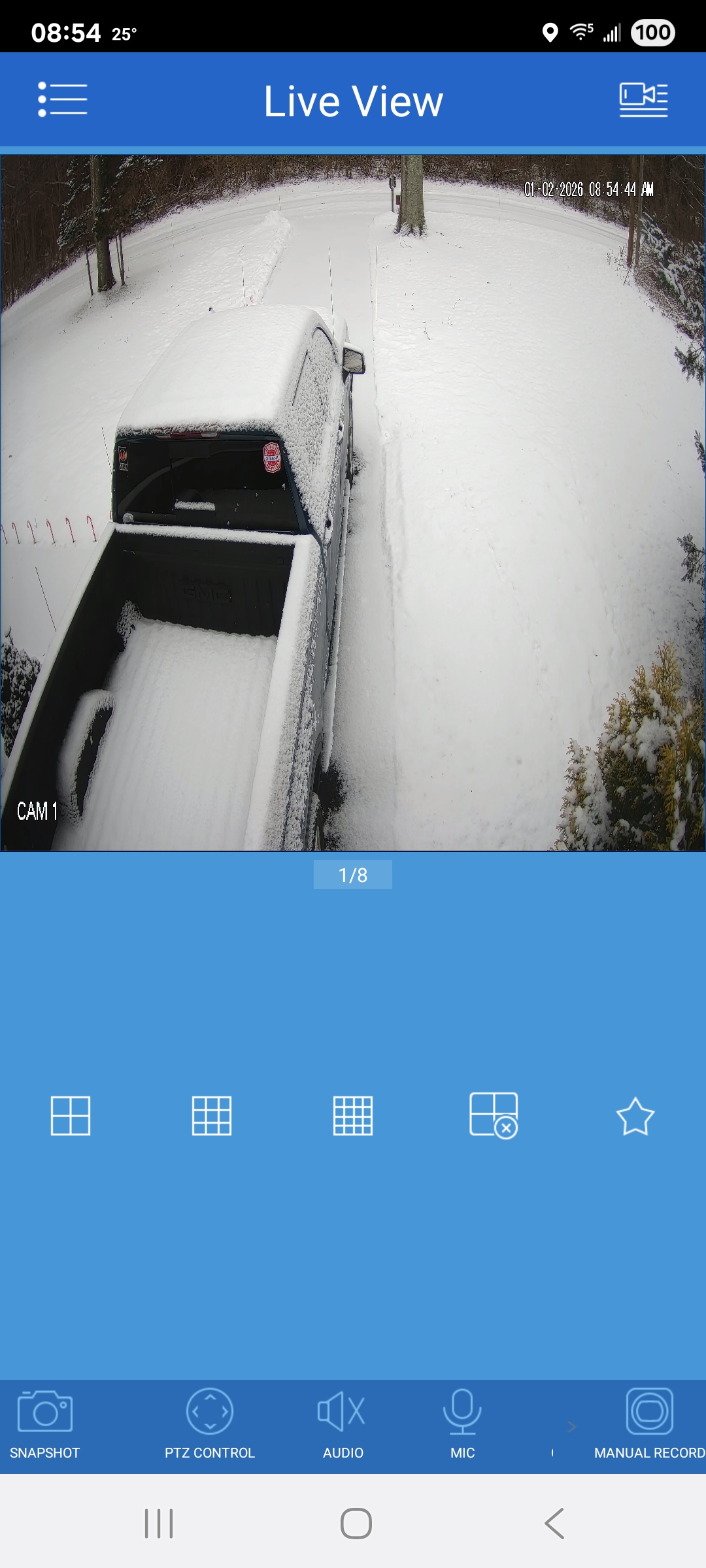
Atleast I had a pause from ground hog day snows.... and yes that's a different truck, my old one, other one took a ride on a tow truck yesterday
-
So annoyed 2026 isn't good, first still sick now 2024 trucks 10 speed transmission messed up. Lol please hold off the snow for a little bit while i deal with this mess.
-
What are the odds the rest of winter will be snowy/ cold, if December is below average temperatures but above normal snowfall? From past memory I feel like the stats were 50/50? Could go both ways?
-
To go off track for a second, With modern day technology and ways to track people, doesn't this forum have the ability to know if someone is making a new account if they were blocked, banned, etc? Through IP, or emails? I only ask as it would seem there's been mention of people acting like other people, assuming they been banned or restricted etc.
-
Call me crazy but we have had bigger wind events from fronts then actual noreasters past year or 2?
-
Well i successfully shoveled my driveway earlier this time versus yesterday doing it then having a 10 minute coughing /gagging attack cause of this dam cold! Yey!
-
Feels like I'm in the movie ground hog day, keep waking up to new snowfall lol
-
-
Did she have a lot of sticky gunk coughing up?
-
I just getting over one of the colds, I don't think I had the super flu but it's gnarly on the lungs.
-
Looks like about 1.5 inches as well I'm crawling back into bed I'm still getting over this sickness thing
-