

IrishRob17
-
Posts
10,161 -
Joined
-
Last visited
Content Type
Profiles
Blogs
Forums
American Weather
Media Demo
Store
Gallery
Posts posted by IrishRob17
-
-
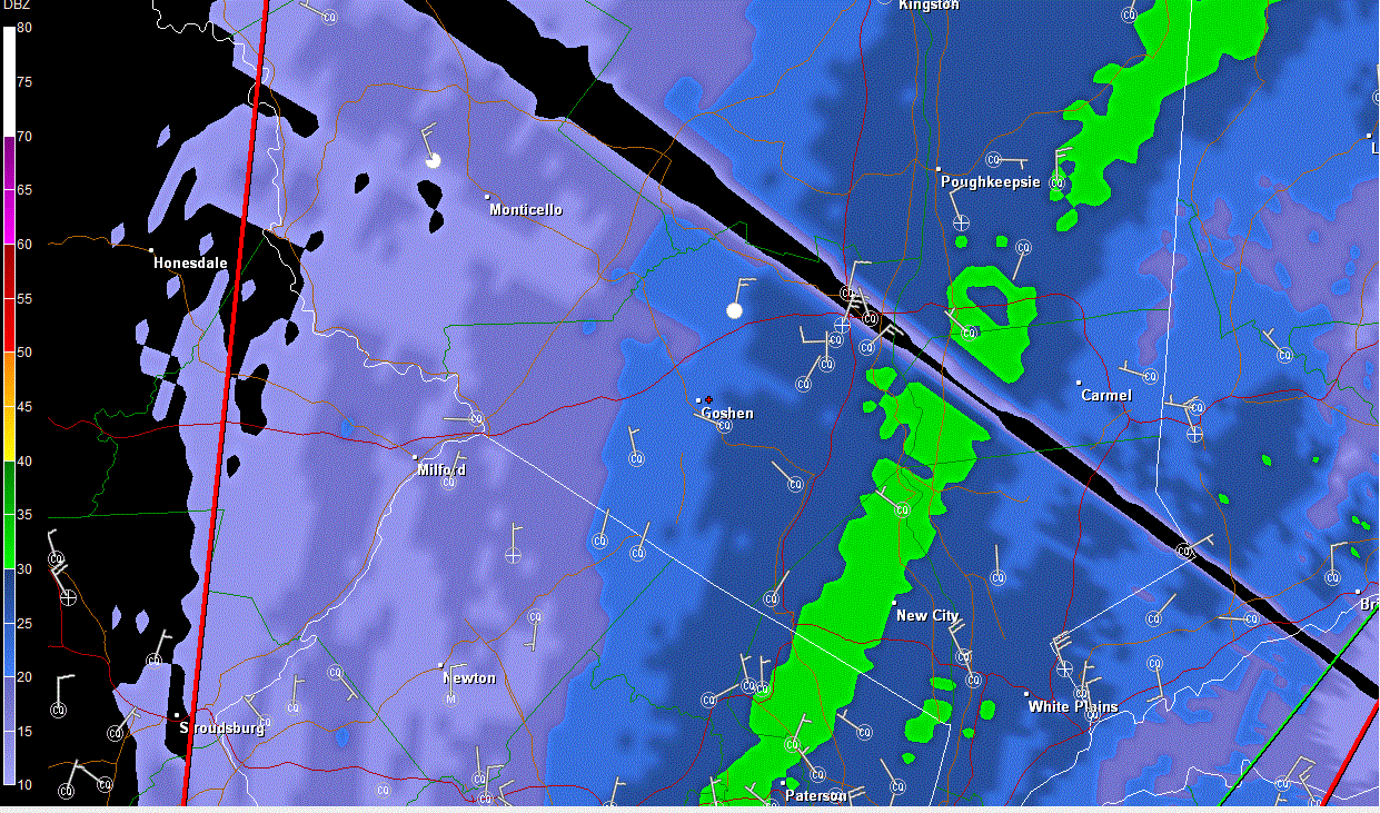
Im loving this storm so much more than the Snowicane, the drifting is insane around here. NYS 416 and 207 are down to close to one lane in the open spots with whiteout conditions. I've never seen anything like that around here, the last time I saw a ground blizzard was when my brother lived up in Cazenovia after a lake effect event. I have bare spots in my yard and 30" drifts in other spots. Impossible to get an accurate measuremnt of anything. I saw a report of 15" in Montgomery from 1am which seems reasonable, looke like 16-18" around here overall but we'll never know for sure.

-
Directv or Dish? Moderate snow. Definitely not as intense as it was earlier.
Dish.
-
You should have your dish alignment checked. I have Directv and with all the intense snow these past few hours I have had not one hiccup with my signal.
It was only a couple of the local NYC stations and only the HD signal for some reason. It's back now.
-
I'm getting into something heavier now, I'm starting to lose my Dish signal.
-
What did you pick up Rob?
I havnt gone out, maybe 6-7" after taking a window looks measurement
-
The heavy band that has been sitting on top of eastern Orange Co is collapsing faster then the Giants playoff chances- Its all the back to Rockland and fading fast
Yeah, I can't believe NYC is getting rocked again. What happened to the storms when we get rocked and they get rain?
-
Glad to see you guys towards the east are getting rocked. Im just a bit too far west so far, shades if 2006 when I was just a tad too far north, we'll see if something can rotate through overnight.
-
Hello everyone-long time no see.

Snowing pretty good down here in Southern Dutchess County. I wish I could give you a accurate total-but the winds are playing havoc on the deck this time-best guesstimate is about 6 so far. At least we aren't looking like we had back in Feb with this storm. Snowing pretty heavily still-waiting for some good thundersnow-that would be a nice touch.
Hey you! Welcome back
-
Thanks for the insight!!! I am quietly hopeful that this will not disappoint once we get into the real show from 8-9pm onwards... I think POU could hit 18 if the bands set up..
Probably not as much as the snowicane in Feb, but i would take 18" of powder and drifting over 24" o heavy slop and power outages any day.
Agree 100% on both counts. Thanks to Wx4cast for his insight and less powder>more wet snow.
-
Those 30"+ amounts in that storm were truly epic.. I highly doubt we see those amounts.. Maybe 20-24" if good banding sets up.
There will be more drifting with this storm, I'm hoping to see some epic drifts
-
Let's do this! 60mph gusts tonight and Monday possible! The drifting will be awesome.
-
18Z GFS KSWF BUFKIT snow total 28.5 QPF 1.44 @ 12 to 1 ratio 17.28
KPOU snow total snow total 28.5 QPF 1.52 @ 12 to 1 ratio 18.24
Giddy up! We will be a bit too far west? I think it was the Dec 2003 storm when I had 18" in New Windsor, there was like 6" in Middletown and maybe 3" in Port Jervis.
-
It was Belgian White Ale. Wow coors? Thats a shocker given their tasteless, watery mainstream beers

I think I'll snek a peek at tonights 12Z runs if I get a chance
I've actually had that before, it was ok, im more of a lager guy though
-
Check out the 18Z NAM, phases and west but not quite west enough for NYC.
Are you saying that the trend is our friend? Hey, I hope it works out but I also know that in 30 minutes my brother-in-law arrives with the Sam Adams with the rest of the family to follow shortly there after so i won't be able to track much tonight.
Merry Christmas to all my weather board buddies!

-
Nice hit on the 12z GFS for the valley rockland then east of the river do very well. Mid western valley does slightly less with a phase just in time to track it west. 12Z NAM does not phase and is farther east. With the GFS standing alone with the hit atm, some drama for the holidays. .
Did you see this?
From BOX AFD:
"WE WANTED TO NOTE THAT WE HAVE RECEIVED MESSAGES FROM
HPC ABOUT INITIALIZATION PROBLEMS ON BOTH THE NAM AND GFS RUNS THIS
MORNING. "
Not sure yet how that affects this run if at all, it's still up for debate. Maybe we'll have a better idea after seeing the euro.
-
So much for that storm, they are doing a radio show tonight


-
No problem. Right now the bolded area that you highlighted IMO stands the best chance for moderate to heavy snow fall (at this time). All this said I still have not and won't come out with any firm numbers this early; probably won't see anything from me until late Saturday at the earliest. We (I) just need to see some more swing W by N in the ensembles over time.
Thanks. Completely understand the numbers thing as it's way too early for that sort of stuff.
-
I've been perusing the 00z & 06Z GEFS ensembles...some interesting features of note. First both times have near the same amount of members showing a left of track low with 3 showing a hit and 6 a glance. There are now 2 members of the 06z set that are slower with the storm's track and onset. However overall the 06z ensemble/ensemble meant for 06z has a more ene track and appears to track over 120 miles or so south of the New Engalnd BM.
Right now I still think we will be dealing with 2 distinct cut-offs with this storm. The first will be where snow doesn't fall and where it does. The second will be within the snow area, that is very light to light accumulation and moderate or heavier amounts. Right now I think the potential for latter accumulation amounts is exist along an Ulster-S'rn Columbia and Duchess Counties east to the S'rn Berkshires and Litchfield county.
As for the HV north of Albany I am not too excited for much if any snow fall or snowfall accumulation.
I still think time IS on our side for a more widespread snowfall but we'll have to start seeing more ensembles and the ensemble mean shift north and west over the nxt 36 hours. Tomorrow will be telling IMO. If we start to see more of shift then north and west then its game on if we see either more of a shift south and east or the same current mix of data then prospects for what I posted above are more likely, perhaps even less than what I posted.
Thank you for dropping by with this information. In the areas that you mentioned bolded above would that be a stripe of heavier snow or is it from those areas south and east would see heavier snow. Sorry for the kinda IMBY question.
-
You know years ago there was a young guy that called himself Codman from around SWF (or so)....are any of you him with a new name?
Or heard of him... I was just curious. He was on the BB's and IRC for a long time.Wow, that goes a way back. Yeah, I remember that name but I don't honestly remember from which board, I've been on the various boards since late 1997. Not sure who his was but I haven't seen that name in a long time, that much I know.
hey all.. how's it going. I always forget that there's a hudson valley thread and I'm in the hudson valley... i guess.. kind of.. you gonna follow the GFS at the main thread this evening. I'd be happy to give a bit of a play by play in this thread for a change. I've got that sneak peak subscription thingie like Tombo so I can give you a bit of a heads up
I'm rarely able to stay up for the overnight runs but I still read through the threads in the morning if theres something of interest, like tese days. So even though i wasn't here last night I enjoyed reading through everyones comments just now, so THANKS! Happy Festivus as well!
-
I'm just sitting tight and hoping that we get in on this.
-
So much for that storm, they are doing a radio show tonight
-
I can live without the disruption and work heavy snow causes.
I can too but now that I have a generator it doesn't 'scare' me nearly as much.
All I have to say is wow.. A sub 970mb low tucked under LI is ideal for these parts. Lets hope the 12z euro holds firm with this.
It would be sweet.
If the Euro verifies as depicted, you guys get a once in 50 year or more storm! Sub 970, slowing down, originating from the GOM....30"+ amounts would be common....esp. in the hills.....let's all breathe!!!!
Even in CNY, less qpf, but better ratios.....probably 18"Nice to see you here in this thread! I'd love to see that kind of powder, there would be some wild drifts near my house.
-
You guys around Orange County must have been closer to that snow/ice demarcation in that winter of 93-94. I got 95% snow from those series of storms in Saugerties, but I remember the city was having mostly ice. None of those storms were huge in a KU sense, but I think the biggest at my place was about 15 inches.
I remember one crazy day where we had an overunning event and a cold high seeping low level cold down the HV. We had a snow event where it started snowing at like -8F in Saugerties and peaked at like 10-15F. SWF was also like 10F, but they actually had FZRA at least for awhile. NYC was an ice storm.
Yes, we were closer than you but on the right side for most of the winter
You're correct there were no KU storms but there was some wild weather. I really wish I kept a detailed weather log but then but I can't go back, I was too busy in college for it then. There was a storm mid January that gave me 6-8" of snow and then changed over to rain, I remember the warm front coming through as I was outside wearing glasses and they fogged up as the warm breeze moved through, it was pretty cool. It then rained for a good part of the day off and on and then the arctic front come through at night. Whatever snow was not cleared off of cars/walks/ roads froze in place. The schools were closed for a week with many road impassable. NYSDOT was using graders to try to scrape the ice off of the roads because it was too cold for road salt to be effective and the other chemical treatments used today were not widely used back then. I'll never forget it. That storm really set up the snowpack for the rest of the season. -
I hear you on the snowicane, it was a little bit too intense with the heavy wet snow, falling trees, and exploding transformers. I would just take a nice cold 6-10 inch powder type affair... And then have that topped up every week or two, with incremental snowfalls to keep the base going.
Exactly and the winter of 93-94 that I'm referring to had events like that. My record keeping wasn't very detailed back then but the biggest snowfall I have recorded that winter was 12", which happened twice. Otherwise it was a bunch of smaller events but they just kept coming along with the cold temps.
The Hudson Valley Thread
in Upstate New York/Pennsylvania
Posted
The wind really packs the snow in there making it more dense for sure. I just got back from a drive, still getting ground blizzard conditions along NYS 416, 208, and 207. The State guys will be plowing for quite a while still.