smokeybandit
-
Posts
4,127 -
Joined
-
Last visited
Content Type
Profiles
Blogs
Forums
American Weather
Media Demo
Store
Gallery
Everything posted by smokeybandit
-
Probably a cell tower went out
-
Looks dead to me
-
That video is one hell of an advertisement for whatever model of camera that is
-
Sharknado!
-
-
That Grand Isle webcam is about to get submerged
-
I can't believe that camera is still able to broadcast
-
I'm impressed the camera is still rolling
-
This webcam someone posted earlier is starting to get interesting. I wonder how much longer it'll last https://www.severestudios.com/storm-chasers/john.humphress2.html
-
-
Agreed, even more complicated now by the societal state in the wake of a pandemic, when many have yet been reluctant to travel. There is a mental barrier for some to overcome. It's a tough decision regardless if you live in a rural or urban area. That and 3 days away by a storm that isn't even formed yet is fools gold to start evacuating
-
Last Thursday summed up my weather summer. Boxed in a severe thunderstorm and tornado warning, yet got 0.01" of rain and a few minutes of breeze
-
Feel free to send some of that monsoon a bit further south. Been dry as a bone this summer
-
This smoke stuff sucks
-
My flood watch netted me 0.08"
-
2021 Atlantic Hurricane Season Tracking Thread
smokeybandit replied to WxWatcher007's topic in Mid Atlantic
Shouldn't a storm named Elsa be churning in the Bering Sea or something? -
My back yard got about 0.8" Could use double that to get my lawn's brown spots in gear
-
After over 3" in May, we've gotten 0.06" in June so far.
-
-
There was a confirmed tornado near Limon
-
Foggy and misty all day today. Haven't seen a day like that since I lived on the east coast
-
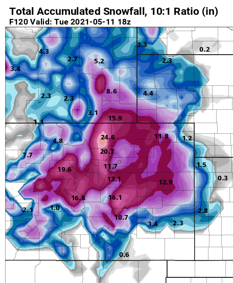
Quite a bust of a storm from the GFS/NAM. Euro had it right, very little moisture outside of the foothills.
-
We laugh at the GFS, but even the NAM and long range HRRR have pretty solid snow totals east and southeast of Denver.
-
Oh you silly GFS