

78Blizzard
-
Posts
3,693 -
Joined
-
Last visited
Content Type
Profiles
Blogs
Forums
American Weather
Media Demo
Store
Gallery
Posts posted by 78Blizzard
-
-
I thought the king didn't have big changes like this from the previous run.
-
Burbank also said:
"While surface temperatures may stick around 31-34 degrees during the storm, the atmosphere is colder this time around. Thus, the snow should be less dense & that lighter-weighted snow should not produce as much tree damage & power outages."
-
 1
1
-
-
Barry Burbank's preliminary prediction from an hour ago. A more refined profile will be released with the arrival of updated guidance as the day progresses.

-
 1
1
-
-
The king will soon show the futility of following the JMA.
-
It's amazing how the JMA has all of a sudden taken on such important status, lol.
-
GFS is bringing it in sooner, more in line with the Euro and the 3k NAM.
-
3k NAM is 100 miles W of 12k at hr 60. Still going strong at hr 60, although it, too, doesn't look as good as it did at 18z.
-
Now that the 18z CMC solution is in, it looks like the GFS is the outlier. Tossed.
-
That 18z CMC is well NW of 12z.
-
6 minutes ago, Bostonseminole said:
all models improved during the past few cycles, this was the first time one went the other way, that's all, not saying storm cancelled, still lots of moving pieces.
Shouldn't this type of system be an easy call for the GFS inside of 72 hours? If it fails this one, perhaps they need to look again at the changes made in the "improved" version.
-
The GFS is NW of the 12k NAM but weaker. It seems that the earlier arrival shown by the 3k NAM has the better solution than the GFS.
-
2 minutes ago, weathafella said:
3k is an outlier with that part.
Actually, I just checked the Euro and it agrees with the 3k NAM on the earlier start.
-
The 3k NAM brings the goods in here at 3z Tuesday, but the 12k doesn't get going here until between 9z and 12z. I have not seen such a large time difference before with these two model iterations. Any thoughts?
-
4 minutes ago, Damage In Tolland said:
Snows into Tuesday night
It's pretty much done here by 7-8 pm, and by 4-5 pm in your hood, at least according to the Euro.
-
Just now, weathafella said:
Yeah 78 this has been a cold modeled system.
I did notice that the 850 0C line did get close to the Cape at that time frame, but just for a very short time.
-
James should be happy with the Euro's furthest NW extent of the 925 0C line. In fact, this could come further NW by another 50 miles or so and not taint most of us in E MA.

-
3 minutes ago, Ginx snewx said:
Geez EPS crush job
.thumb.png.3a81aad72531539fde03eb1154516cce.png)
We take that jack for our hood, lol.
-
The 12z GEFS track is almost exactly where the Ukie had it at 0z.
-
1 minute ago, TauntonBlizzard2013 said:
Ukie went pretty Far East from 00z. Not exactly what you wanted to see.
If Tip is right about the Euro, we can toss the Ukie.
-
19 minutes ago, CTValleySnowMan said:
Uncle went back east some from yesterday.
That's about 200 miles E of where it was at 0z.
-
00z GFS has 50+ kt winds over NC outer banks for about 12 hours despite the center staying offshore. Some serious beach erosion if that verifies, as Nags Head will be under NE winds for 2 high tides.
-
27 minutes ago, ineedsnow said:
It will change in 15 min lol tropical tidbits has it hitting with a pressure of 967mb pretty strong cane for here... Gfs and canadian all alone on it developing....
Canadian didn't have it.
-
LOL at 12z GFS long range. They are all alone once again with a strong tropical storm, minimal hurricane, hitting NE after forming SE of Leeward Islands. The law of averages says it will be right eventually on one of these runs.
-
That hurricane the GFS has had on every run for days completely disappeared on the 18z run, lol. I wonder what caused that run to change so drastically?

.png.084ddbf6bbb2c2a5f8a9065827333766.png)
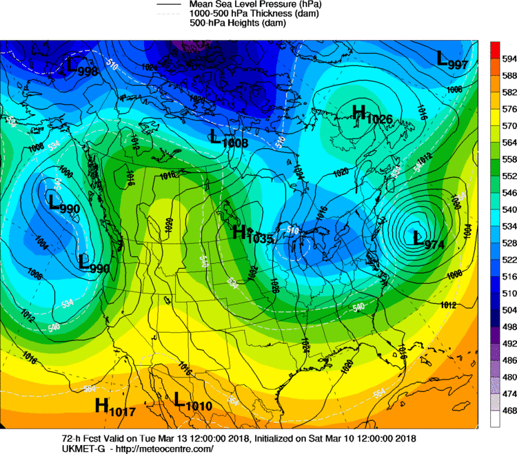
March 13th ... west Atlantic bombogenesis type low clipping SE New England, more certain ...may be expanding inland
in New England
Posted
I'd rather the Euro have its weird run now than 24 hours from now. Unless other guidance starts veering E, I'm confidant it will come back NW next run.