Hurricane Agnes
-
Posts
9,263 -
Joined
Content Type
Profiles
Blogs
Forums
American Weather
Media Demo
Store
Gallery
Everything posted by Hurricane Agnes
-
And have now hit 90+ F temp #8 with a tap at 91 just before noon today. It's currently party blazing with some angry-looking clouds beginning to materialize and 91, with dp bopping between 77 & 78.
-
Well I bottomed out at 74 this morning and am already a mostly sunny 88, with dp 76, and with scattered cumulus. I have so far counted 7, 90+ degree days this season, with 1 in June and 6 so far in July. Just stepped outside briefly on my patio and heard my first cicada just chirping away. It's like a blast furnace out there ("feels like" is 99 on my weather station console ).
-
I was wondering if any part of your place was under that (kept looking up that way). I ended up with a high of 91 and it's currently mostly cloudy and 83 with dp 74.
-
Was watching that cell stretch out to try to miss you!
-
And I hit 91 about 20 minutes ago, tying my Wed. temp! Don't know if I'll get to yesterday's 93 but I think the forecast for today in general was mid - upper 80s and I'm definitely at or above that now. Currently 89 and clouding up, with dp 73.
-
Well it wasn't progged to really rain this morning but I got a pop-up that became a formidable line that headed up to the NE. And it wasn't supposed to be "as hot" as yesterday but I just tapped 89 about 10 minutes ago and am a degree away from another heat wave (with a Wed. 91 & Thurs. 93). Currently partly sunny with cumulus billowing up, and bopping between 88 and 89, with dp 74.
-
You'll probably get "wet" just walking out your front door thanks to the humidity! Temp here already tapped 84 before dropping back to the current 83 and partly cloudy, with dp down a little to 72.
-
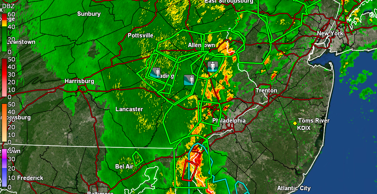
Had a final bucket tip of 0.01" to yield 0.10" from that pop-up set of cells. It was wild watching that thing start as a couple cells and then build into a literal battering ram line that blasted through Montco & Bucks, right into central & northern NJ, and is now all the way up in NY and CT. I was surprised at how warm it already was early this morning (upper '70s) before the cells bubbled up. My "low" ended up being 75 and it's currently mostly sunny and a steamy 81 with dp 76.
-
Ended up with 0.09" of rain from that pop-up cluster of cells and since it was already steamy before that, now it is outright tropical. Currently still getting tons of lightning and some thunder but the rain has pretty much stopped, and the temp is 76 with dp 74.
-
A thunderstorm cell bubbled right up in the city and am getting some of it. It has been fairly warm overnight and it's currently moderate rain and 78 with dp 75.
-
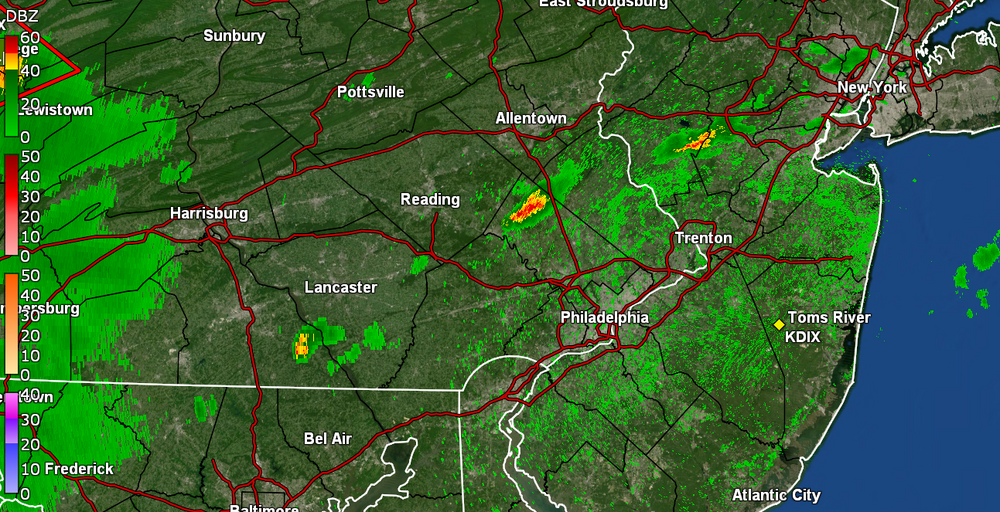
PNS for Berks had one spotter report of 2.74" - It all depended if you got stuck under a slow-moving cell that kept back-building. There was a chaser recorded the flooding there in towns near Fleetwood (Oley & Blandon, etc) -
-
Yeah I have been hearing about the shore temps the past couple weeks and this is really early for those temps. Usually don't see that until August. I bottomed out at 71 this morning and so far have hit 93 for a high. The humidity is definitely up more today than yesterday, even with the mostly clear sky and few clouds here and there much of the day. It's currently clouding up a bit and 91 with dp 72.
-
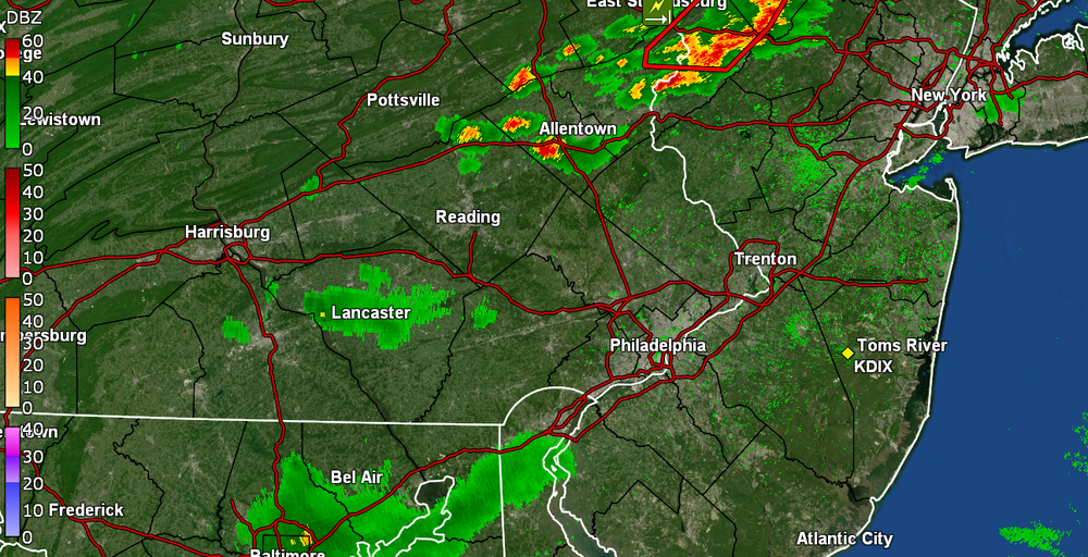
It's an annual/seasonal thing. Some years are worse than others. There are various global air and water currents and you'll notice that outside of the "locally grown" tropical cyclones near North America along the central/southern Atlantic, the Caribbean, and GOM, much of the rest come right off the west coast of Africa and traverse from east to west over the open ocean, following along what is dubbed the "trade winds" (which also correspond with ocean currents gong in similar directions). https://scijinks.gov/trade-winds/ ETA - I once had a coworker who mentioned that at the U.S. military facility near Dakar, Senegal, those stationed there could often watch the Saharan "dust" moving overhead towards the ocean. As an obs, I didn't hit 90 yesterday (topped out at 88) and I think I have pretty much bottomed out at 68 this morning. I expect I will hit at least 90 today and am currently partly sunny and 70, with dp 65.
-
Had heard on KYW that Mt. Holly had confirmed a tornado down in Delaware. Was categorized as an EF1 - As an obs, I bottomed out at 67 earlier this morning and it's on its way up, with it currently mostly sunny and 73 with dp 66.
-
Given all the overcast this morning, once the sun finally came out and stayed out, I managed to get to 85 as a high today just before 4:30 pm. Then I noticed a convective outflow boundary blow through and that dropped the temp and fired up some kind of a cell downtown that moved on its way from NW -> SE. In any case, it's currently 74 with dp 66.
-
PNS that was published late last night - Bottomed out at 67 this morning and am currently under overcast skies with temp 75 and dp 69.
-
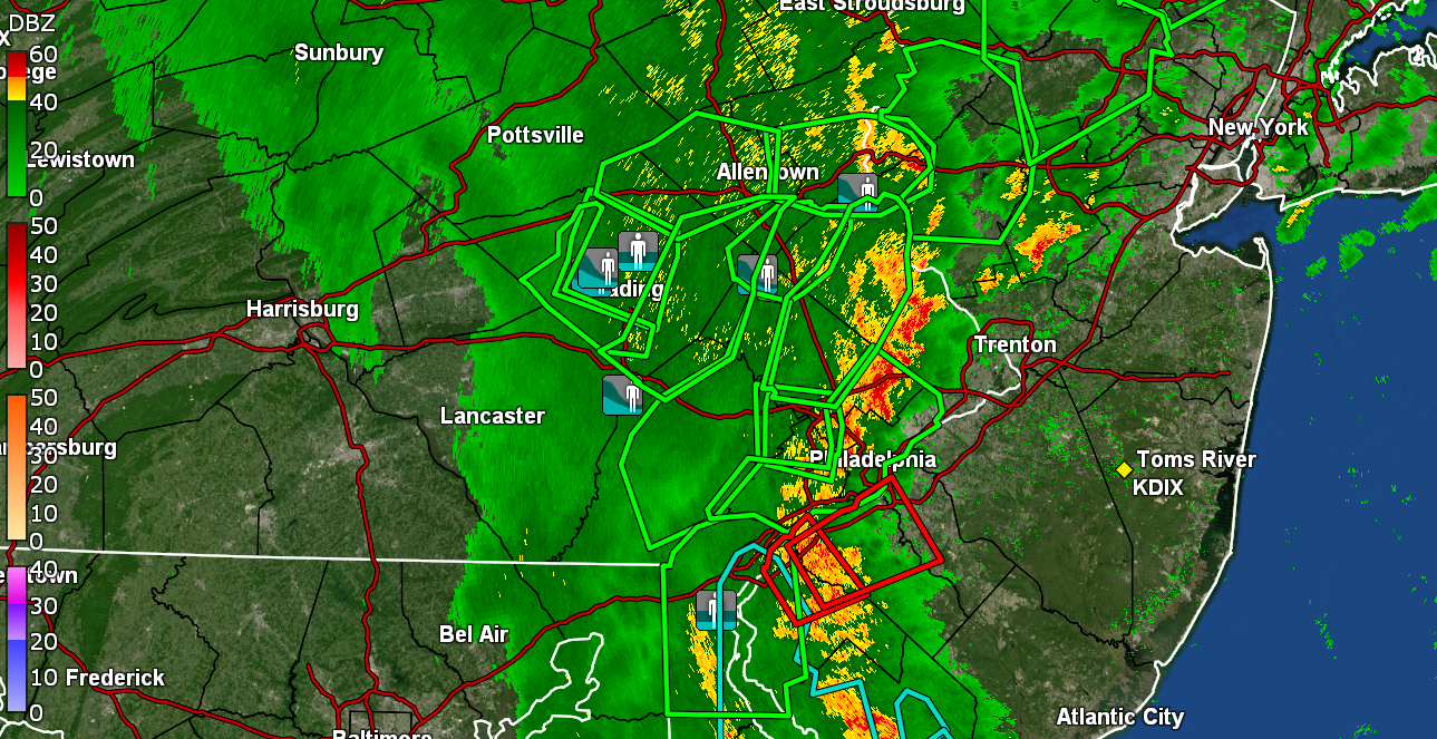
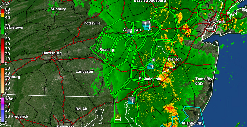
Schuylkill flooding in Pottstown and Norristown. That is all going to come downstream.
-
I actually made it up to 84 as a high before the heavy rain started. Still sitting at 69 with dp 68, and sky trying to brighten before sunset.
-
Had been getting some light rain still but the back edge is moving closer and am not registering anything at the moment. Currently have 1.80" for the day and 2.57" over 2 days. Currently overcast and misty and 69 with dp 68.
-
It's coming. Some yellows are headed your way. So far I am down to lighter rain with the heaviest band having moved to my east. Currently have 1.62" in the bucket (1.61" since the 1st light round and 2.39" over 2 days). Temp is 68 with dp 68.
-
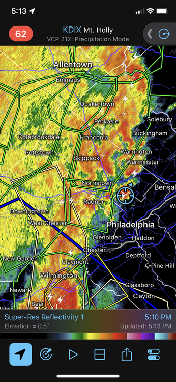
As soon as that complex consolidated in a line, it seems the storm motion accelerated and the line of storm clusters has picked up some speed. Current almost 2"/hr rates still and have 1.21" in the bucket for the day so far. Temp 68 dp 67.
-
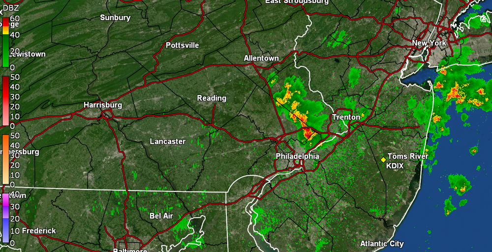
City now under a FFW. Am under heavier returns and getting >2"/hr rates. Now at 0.70" in the bucket. Temp 69 with dp 68. Lots of convection around.
-
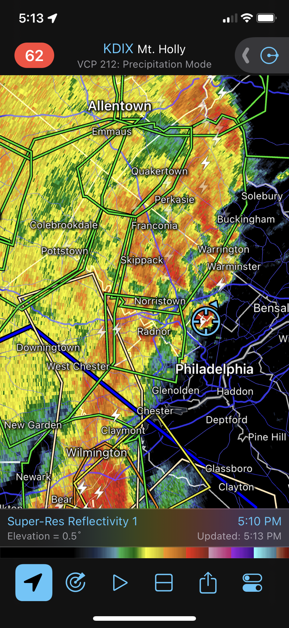
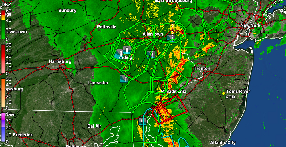
For the Radarscope fans (right on my doorstep). Now up to 0.24" for the day.
-
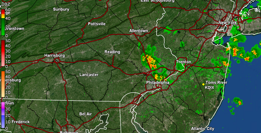
Cell is blowing up. Getting steamy windows and >1"/hr rates. Have 0.19" so far.
-
Night fell. Getting 1/2" per hr rain. Temp 77, dp 73.