SolidIcewx
-
Posts
1,577 -
Joined
-
Last visited
Content Type
Profiles
Blogs
Forums
American Weather
Media Demo
Store
Gallery
Everything posted by SolidIcewx
-
Right where I’m working too wish I was there
-
Yeah down where I work is in line for some nice stratoform thunder and lightning. Got nice storms already. I know this area has been hit good but I have not been here for it past few weeks lol
-
Storms like this gonna box people in like a turtles pecker
-
Of course I leave Lima and come home only to have nice pops down there now
-
Straight truth as long as your not gone to mars
-
And this is exactly why this is the best sub forum
-
The Stoner Chasers
-
Listening to that song now
-
Yeah we got quite a few over here now. Not that one it particular from what I’ve seen. My nectar collector broke a month ago or else I’d be bringing my GMO hash rosin. Only have my rig at home right now but I don’t want to break my expensive piece haha
-
That’s what I do when I’m at home even throw in a real leaf once in awhile. I drive a company vehicle so I want smell down to 0 any way possible inside my truck and at the hotel. Otherwise I’d bring my pack down and grab some rellos or my papers.
-
82/73/89 at my current location. Already bounced up 6 degrees the past 30-45 mins since the sun came out
-
Not house pre rolls those are trash always. From good company’s I get mine from. Used to be management in the industry so I know what to look for. Thankfully Michigan has quite a few companies that make awesome rolls. I also travel out of state for work during the week and don’t want to risk flower lol
-
Amen to that!! Deal with the same thing let along being away 5 days a week from my fiancé and children. Mafia Funeral for night time and Lemonade for the day time
-
A pre roll and storm watching is a great combo
-
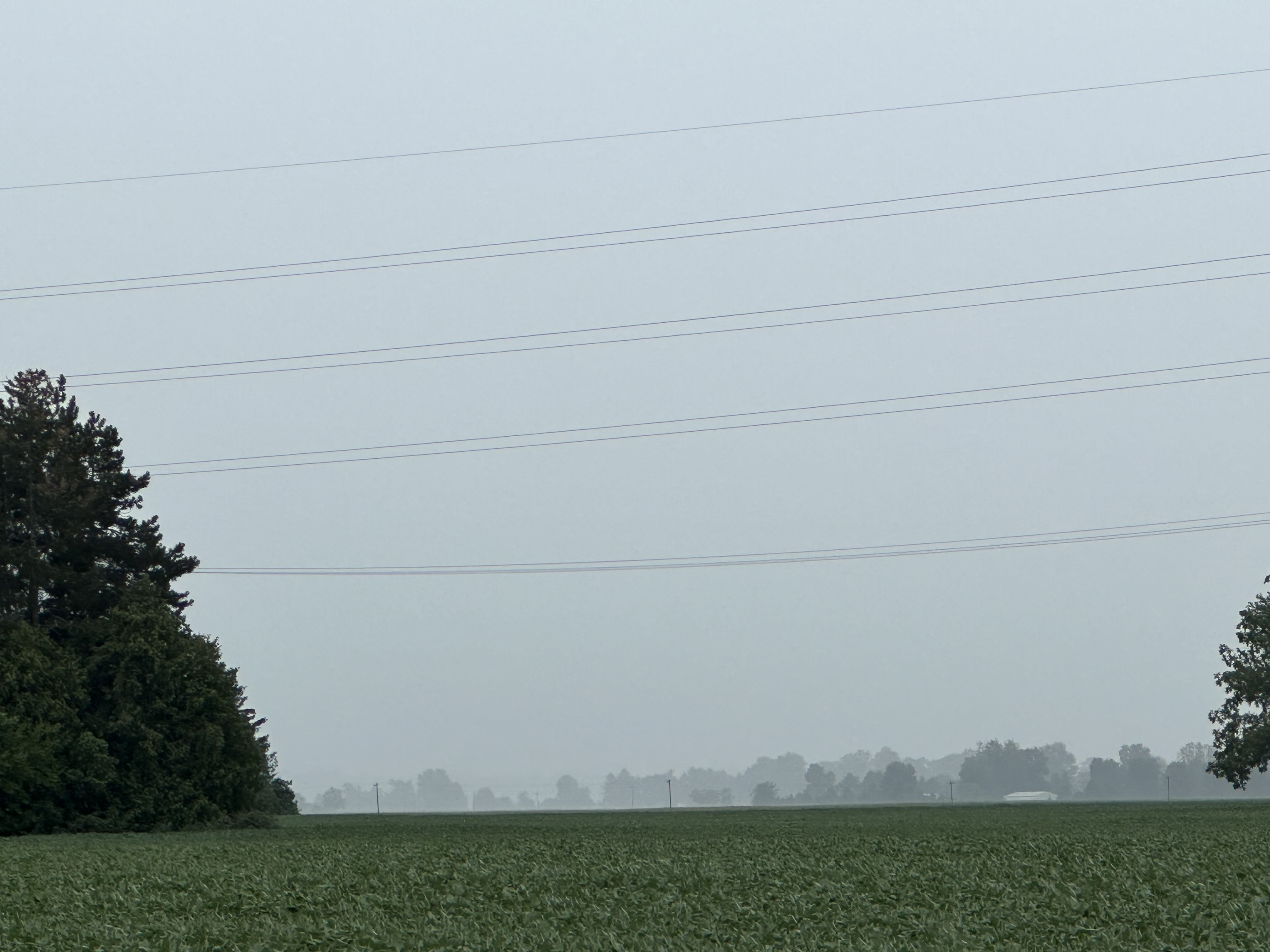
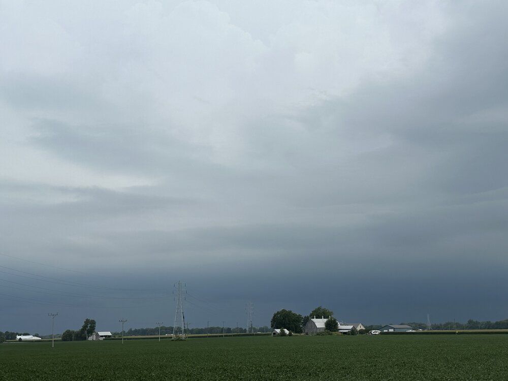
Absolutely pouring a third of a mile to my south

-

-
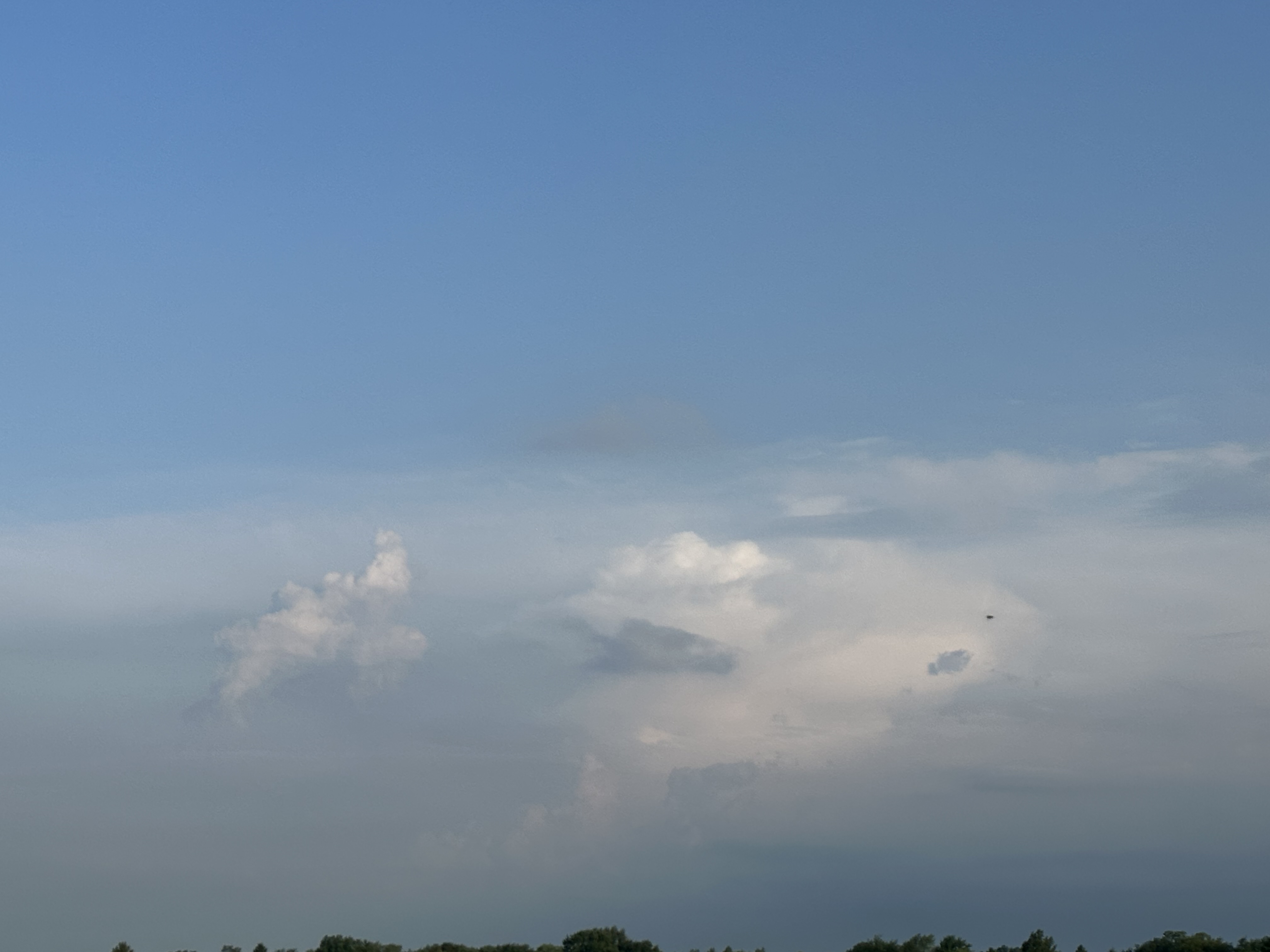
Storms decaying and cloud deck thinning a bit it looks like. Hopefully primes the atmosphere over SE Michigan but it looks more nocturnal for that area
-

2023 Short/Medium Range Severe Weather Discussion
SolidIcewx replied to Chicago Storm's topic in Lakes/Ohio Valley
I’m curious to see if those high fees do make it to the I94 corridor. Would make things interesting to say the least. Convection seems to be decaying -
2023 Short/Medium Range Severe Weather Discussion
SolidIcewx replied to Chicago Storm's topic in Lakes/Ohio Valley
That’s why I’m hoping it starts dissipating over the next couple hours and clouds thin out and burn off -
Damn can’t believe I missed that wicked shelf cloud. Those monroe county picks are beautiful. Minus the damage done
-
Why is KIWX so vague in between actual discussions. I see DTX and GRR always putting in juicy info in between
-
2023 Short/Medium Range Severe Weather Discussion
SolidIcewx replied to Chicago Storm's topic in Lakes/Ohio Valley
Like throwing the element cesium in water -
2023 Short/Medium Range Severe Weather Discussion
SolidIcewx replied to Chicago Storm's topic in Lakes/Ohio Valley
NASA Rocket Fuel -
2023 Short/Medium Range Severe Weather Discussion
SolidIcewx replied to Chicago Storm's topic in Lakes/Ohio Valley
Possible severe storms this morning was not expecting it but I’ll take it. It’s a break from the heat. And this evening I’ll be home in MI to experience what happens there.
-
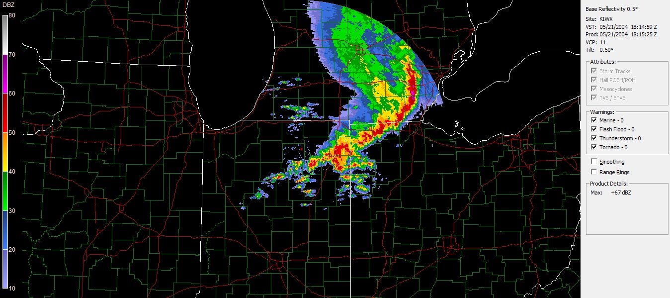
Yes it did lol wanted a throwback analog instead of a more recent one. Just not quite as powerful. That one in 2004 was pretty crazy growing up. Had a bad flood in my neighborhood at the time as-well. Pitch black followed by dark green skies. Family would tell me it reminded them of the great Green Storm of the 80s