

TimB
-
Posts
17,206 -
Joined
Content Type
Profiles
Blogs
Forums
American Weather
Media Demo
Store
Gallery
Everything posted by TimB
-

Pittsburgh/Western PA Summer 2022 Discussion
TimB replied to Ahoff's topic in Upstate New York/Pennsylvania
This is starting to look like a good call. -
ORD, not ORH.
-
Yes, but aren’t some of the ingredients somewhat lacking in C PA even if it does track that way?
-
Pittsburgh/Western PA Summer 2022 Discussion
TimB replied to Ahoff's topic in Upstate New York/Pennsylvania
PBZ wrote up a decent discussion of the potential derecho.
-
Pittsburgh/Western PA Summer 2022 Discussion
TimB replied to Ahoff's topic in Upstate New York/Pennsylvania
Best support for eye-popping temps is probably that the latest GEFS ensemble mean for 18z Wednesday is 96. None of the op models or other ensembles have us quite that hot. -
Feel like I read a book once about losing people to a chocolate factory.
-
A real no doubter of a heat wave is on its way so we stop quibbling about it, I’m sure.
-
PIT had a day during that Feb 2018 stretch that was 78/59, so we got some CDD’s there. Hitting 70 five days in a row in January would be incredibly anomalous in its own right.
-
CDD is mean temp over 65. Looks like that day had a high of 79 and a low of 43, so a mean of 61 and therefore 4 HDD.
-
With option 1, can a date range be put on it? If not, then a 5 day stretch of high temperatures in the upper 40s in January would qualify.
-
I’d say low 90s is noteworthy when it’s a double digit + departure, like now. But what’s the average high at MDT in July? 87 or so? Is 5 days of a +3 departure really noteworthy?
-
I would describe both July 2020 and August 2021 as “hell on earth”, though neither one was shattering daily records.
-
So a 5+ day streak is occurring about once a year and a 7+ day streak is happening about once every 3 years. To your point, August 2021 had a 5 day streak and a 6 day streak. July 2020 had separate 5, 6, and 7 day streaks all contained in the same month. And so on…
-
I could have worded mine better too. I didn’t include the shorter streaks in with the longer ones, so you’d really have to add stuff together since an 11 day streak is by definition a 5+ day streak, etc.
-
MDT has: 5 runs of 11 days 5 runs of 10 days 6 runs of 9 days 12 runs of 8 days 18 runs of 7 days 22 runs of 6 days 46 runs of 5 days So 114 streaks of 5+ days in 134 years, 46 of which went a week or more.
-
The fact that a rise of 1°C corresponds with a rise of 1.8°F ensures that the possible 5-min obs always go up in increments of five odd numbers, then five even numbers. An odd quirk, but an odd quirk with an explanation.
-
Pittsburgh/Western PA Spring 2022 Discussion Thread
TimB replied to Ahoff's topic in Upstate New York/Pennsylvania
We did get to 88 officially, so warmest of the year. -
Pittsburgh/Western PA Spring 2022 Discussion Thread
TimB replied to Ahoff's topic in Upstate New York/Pennsylvania
High was 87 through 5 pm, so only tied for the warmest day so far. -
Pittsburgh/Western PA Summer 2022 Discussion
TimB replied to Ahoff's topic in Upstate New York/Pennsylvania
This is starting to feel like one of those summers that doesn’t hit 90. -
Pittsburgh/Western PA Spring 2022 Discussion Thread
TimB replied to Ahoff's topic in Upstate New York/Pennsylvania
What’s more, this seems to be a theme almost daily for the last week or so. Falling 2-4 degrees short of forecast highs at both PIT and AGC. I’m betting against 90 tomorrow and Tuesday. -
It gets better. The @paweather 540 line makes its way through all of PA that weekend. Even snow up north.
-
GFS really wants to stall out a low sometime this weekend and/or next week. The other day there was a run where it sat there for nearly a week.
-
Pittsburgh/Western PA Spring 2022 Discussion Thread
TimB replied to Ahoff's topic in Upstate New York/Pennsylvania
83 at noon might make 90 a tough ask. -
Pittsburgh/Western PA Spring 2022 Discussion Thread
TimB replied to Ahoff's topic in Upstate New York/Pennsylvania
It will be interesting to see if this morning’s low of 73 holds through midnight. Should be close, but if it does, it will be the new warmest low ever recorded in May. -
Pittsburgh/Western PA Spring 2022 Discussion Thread
TimB replied to Ahoff's topic in Upstate New York/Pennsylvania
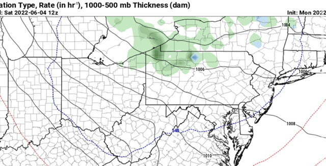
It seems the exact track and timing of these MCVs is always difficult to nail down too far in advance. I don’t even think this system existed 36 hours ago.


