SoCoSailer
-
Posts
24 -
Joined
-
Last visited
Content Type
Profiles
Blogs
Forums
American Weather
Media Demo
Store
Gallery
Everything posted by SoCoSailer
-
January 28-29, 2022 Miller abcdefu Storm Threat
SoCoSailer replied to WxUSAF's topic in Mid Atlantic
Idk to me that’s a pretty noticeable difference in the orientation of the trough. NAM digs it deeper and sharper, allowing the low to run more NNE than NE -
January 28-29, 2022 Miller abcdefu Storm Threat
SoCoSailer replied to WxUSAF's topic in Mid Atlantic
Early on there are changes on the 18z NAM. Energy is diving into Montana vs Idaho on its last few runs -
Jan 21 - 22 Weekend SE VA and Eastern Shore Snow
SoCoSailer replied to stormtracker's topic in Mid Atlantic
In Oceana for the weekend, I would guess we got 5.5” here, but it’s hard to measure with the drifts -
Jan 21 - 22 Weekend SE VA and Eastern Shore Snow
SoCoSailer replied to stormtracker's topic in Mid Atlantic
3k NAM is close for DC. Has been trending better the last few runs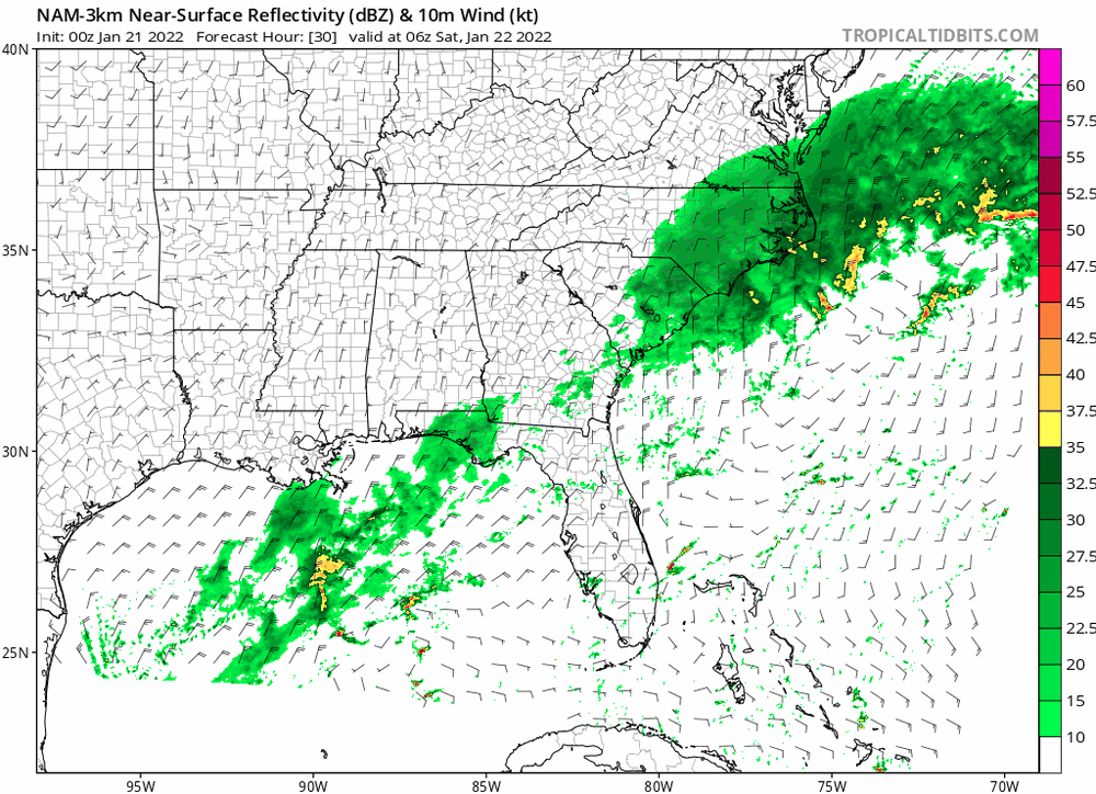
-
Jan 21 - 22 Weekend SE VA and Eastern Shore Snow
SoCoSailer replied to stormtracker's topic in Mid Atlantic
Not to derail the conversation, but the 12z FV3 gets snow up to the beltway now -
Didn’t see it posted, but 18z Euro still supports significant snow for SE Virginia. I’ll be staying in Oceana this weekend so fingers crossed it’s right
-
Jan 21 - 22 Weekend SE VA and Eastern Shore Snow
SoCoSailer replied to stormtracker's topic in Mid Atlantic
Verbatim the 12k NAM is a 36 hour storm for SE Virginia. There’s going to be a narrow stripe for someone to get crushed -
Canadian trended better at H5. SS sw further east this run but low still skirts the southern portion of the area
-
FWIW The long range Hrrrr holds onto hope for the warm nose not being as strong as modeled by the NAM
-
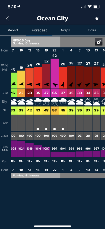
Hurricane force gusts in OC
-
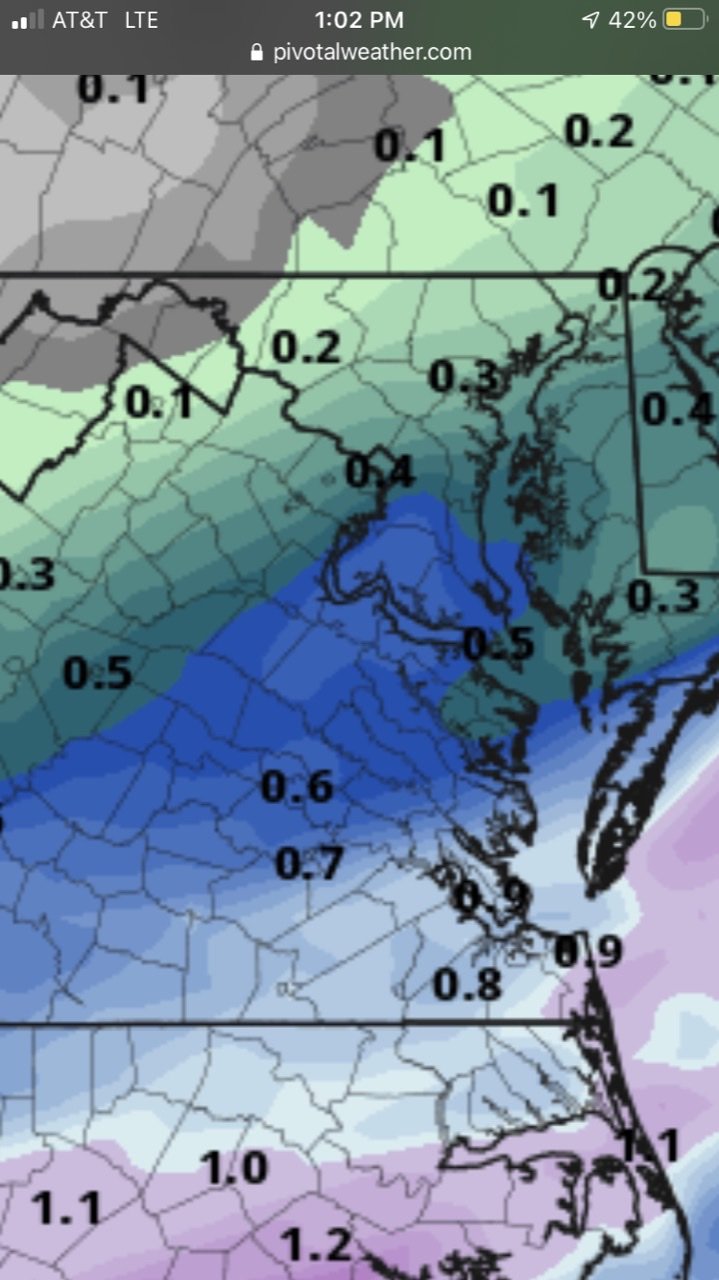
Total precip that falls before 850s spike at DCA
-
It seems we want the initial wave weaker and further south. Every run that has brought snow to the region has the initial low tracking just north of us vs. almost Buffalo. 18z Nam has that idea and at the end of the run it looks to be setting up for a potential hit. Hopefully this is the start of a trend
-
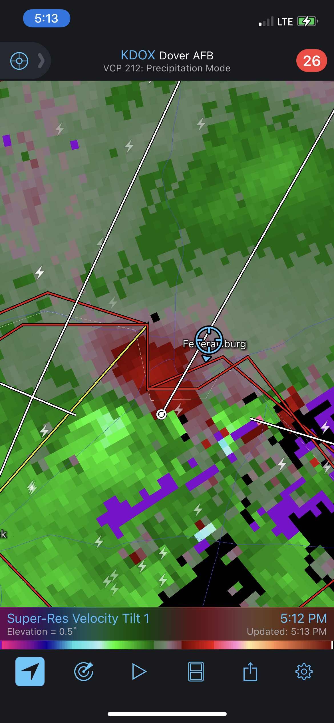
Tried to intercept the storm near Federalsburg earlier. Looks like the tornado must have briefly lifted as it went over me, but I had a great shot of the wall cloud as it went over me

-
Lat 38.759215, - Long 76.561139
-
3k Nam a little more aggressive getting precip back into the cities overnight and into the morning
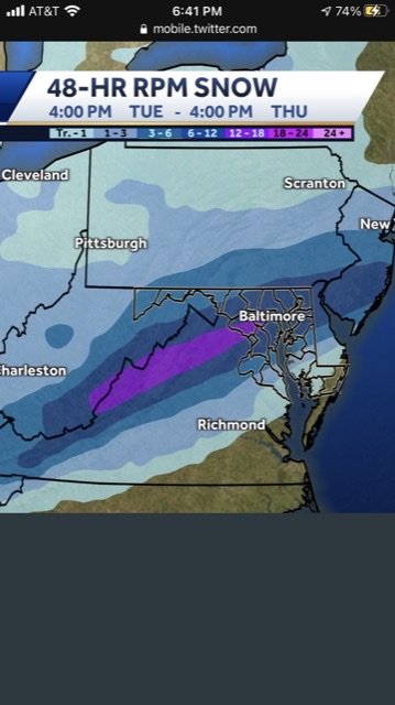
-
For those wondering this is what the RPM shows
-
Surprising considering we have accumulation on everything at the far southern end of Anne Arundel. Might just be that we are a little bit colder outside the city, temp has been steady around 29 since 9:00
-
Getting gusts over 10 now which appears to be helping ice accretion. Sidewalks and driveway now a skating rink
-
3k Nam ticked a little North with the 2nd wave from 12z. Still hoping for one last surge North to get those of us to the south back in the game
-
36.5/ 28.3
-
Jan 31st - 33rd Storm Obs and Disco like it's 1979
SoCoSailer replied to Bob Chill's topic in Mid Atlantic
Everything including the roads coated in ice this morning
-
Jan 31st - 33rd Storm Obs and Disco like it's 1979
SoCoSailer replied to Bob Chill's topic in Mid Atlantic
Best rates of the day down here in southern Anne Arundel county. The band coming up from the south means business. Ripping fatties and wind switched to the east with gusts up to 15