SnowenOutThere
-
Posts
5,462 -
Joined
-
Last visited
Content Type
Profiles
Blogs
Forums
American Weather
Media Demo
Store
Gallery
Everything posted by SnowenOutThere
-
Weatherbell's snowfall maps are being slow right now but I think the 12z Euro should make people happier based on the precip totals 12z 6z
-
Also an extremely strong temp gradient from the 925-700mb levels which contributes to baroclinicity.
-

12/12: The little Friday clipper that could? Or won't.
SnowenOutThere replied to dailylurker's topic in Mid Atlantic
Cvill Jack on the 3k Nam would be insanely funny -
My atmosphere and weather is Thursday morning and y'all might need to keep me in your thoughts after writing out what I need to study.
-
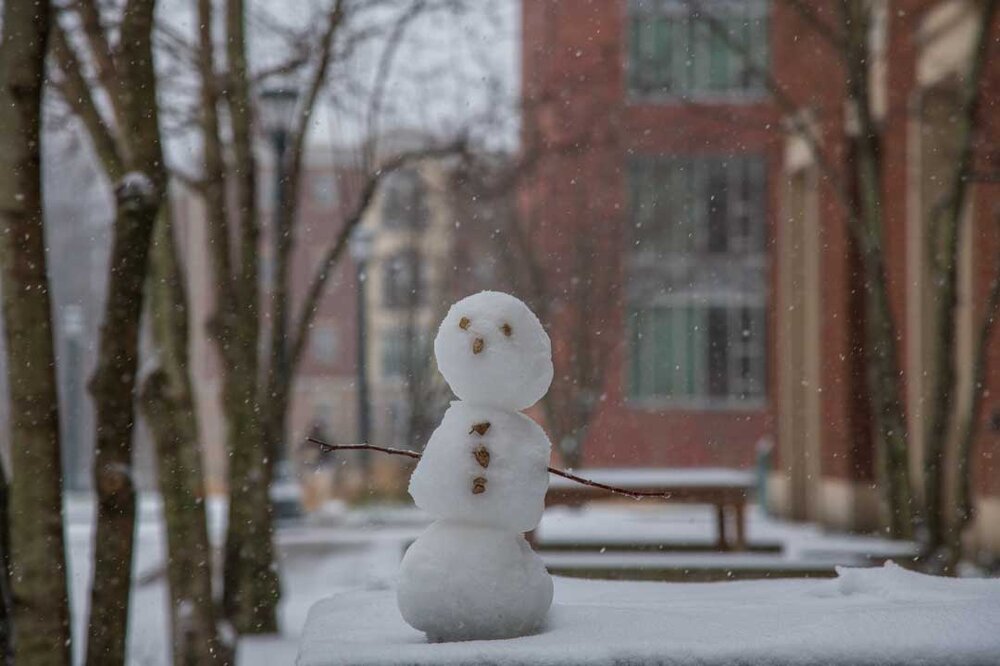
Managed to keep the high under 30 degrees in Charlottesville with intact snow cover. Gotta be a rarity anytime of year and much less December! Took the opportunity to go on a hike of some local trails.
-
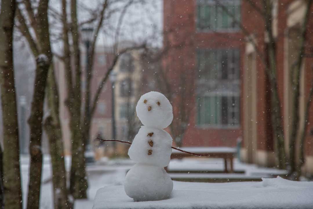
Snow town! Went for a walk in the woods this morning and everything looks super pretty with temps staying below 30 today
-
I measures 2.7in on a table, though on grass I was getting 3.5-4in so I’ll average it out to somewhere around 3 inches of snow. Fridays storm technically had a bit higher total but this storms more compact flakes makes it feel more impressive.
-
Walked back to my dorm and it started moderately snowing again with some decent flakes. Was so nice I ended up lying down and taking a jeb hammock nap for 30 minutes! It just wants to snow
-
It is also somehow still snowing here. So far all I can say about the character of this winter is that it just never wants to stop snowing.
-
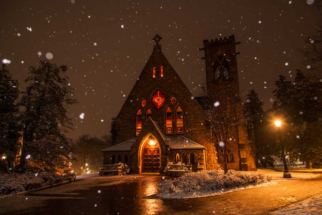
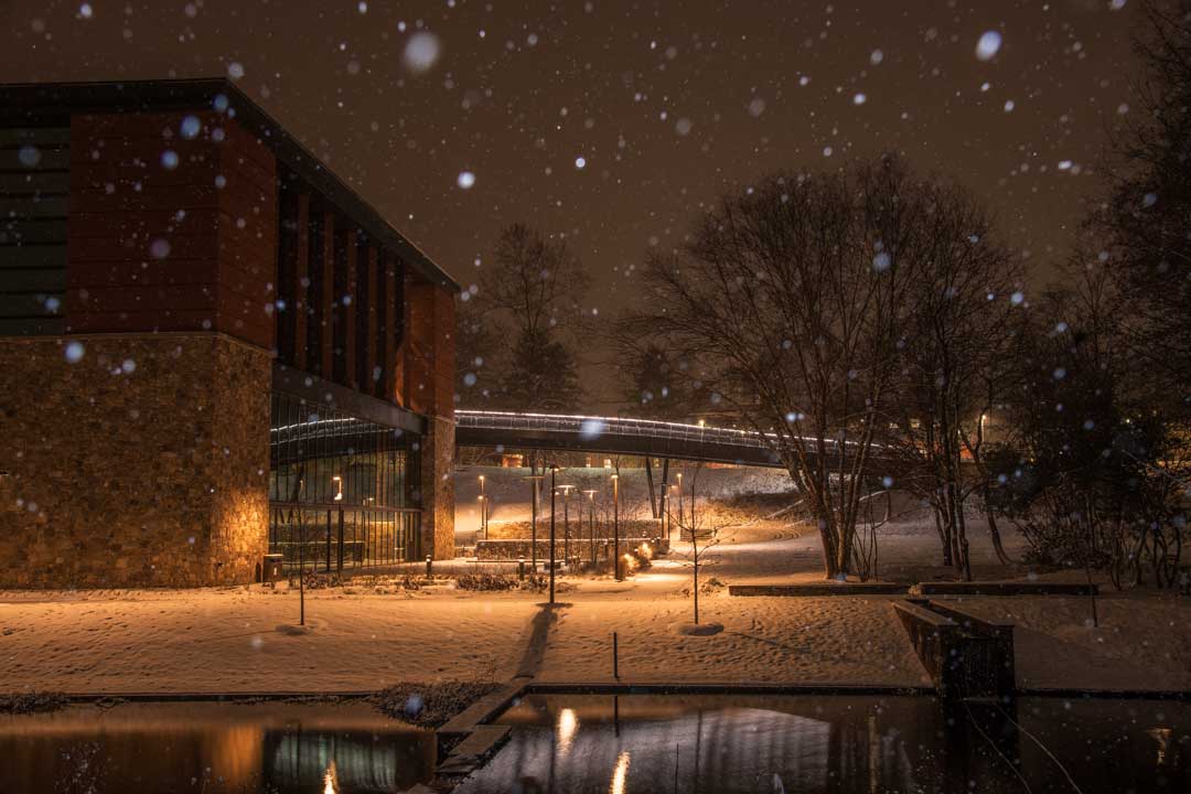
Pictures taken the last nighttime burst of snow. Might be my best yet (or at least my favorites)

- 242 replies
-
- 23
-

-

-
And it’s on Christmas Eve Eve! Might break the Amwx
-
At UVA we’ve been in a nice band since 5:30 and added on maybe 1/2 an inch or more of fluffy snow to the 2 inches I measured at 4:30
-
I was looking at radar optimistic we had a couple more hours of good snowfall but you're right where its now started to decrease rates even further.
-
Its one of the most classic "movie" snows I've seen with small flakes but coming down fast and sticking to everything.
- 242 replies
-
- 18
-
-
-
Measured exactly an inch of snow! Hoping to get near the 2 inch mark by the tine the storm ends.
-
Temperatures have crashed in the past couple hours from 33 degrees to 28 degrees in Charlottesville. Generally having some lighter rates (smaller dendrites I think) but still moderate intensity. Wonder if the roads will cave if we get back into some heavier rates like the Nam and HRRR suggest around 1pm.
-
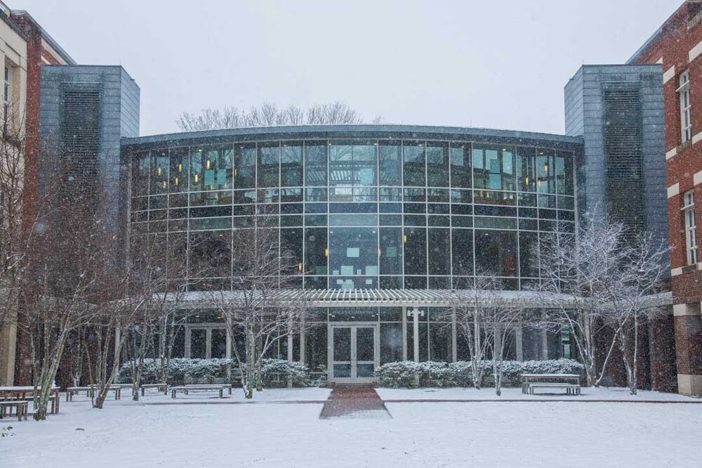
My view as I study for finals before going out to downtown later today to get snow pictures.
-
Alright lets clear the air of this thread with an actual meteorological post! Looking forward to next Friday and our first potential northern crew non-skunk storm. As we know the NS is an absolute hot mess this week with vorticity flying around everywhere so the forecast is nowhere near set in stone. However, we can still try to pick out what to watch for! So lets start off with what goes right on the Euro which manages to snow over some of us. We can see our embedded vorticity max diving south over the central plains. The first thing that would help us out is a more pumped PNA ridge in order to have it become more amplified and further south (this is more important for me than most posters). However, we can also see that amplifying our vorticity in any way will help out! Compare this to the GFS Our shortwave never had a real chance. Look at that line of vorticity over NoVa and the bigger lobe above our shortwave acting as a squashing force due to its W-E orientation vs the Euros N-S. So, we should look for that line of vorticity to appear like the Euro as weaker and more out of the way. Additionally, we should look for a stronger shortwave with the lobe above it interacting positively via a N-S orientation. TDLR: We need less confluence ahead of the wave and good orientation of the lobe above the wave. Though, considering the amount of interactions no idea what will actually happen!
-
Anyone know how accurate the 15 minute HRRR is? It shows a really nice blossoming of the precip shield around 1pm which would be awesome.
-
Legitimate heavy snow as more bands push northward.
-
You’re in a great spot looking at radar. UVA got luckily with some good banding Friday so I doubt we reach those totals but either way I’ll enjoy today!
-
At UVA and we have solid moderate heavy snow with nice medium sized dendrites. They canceled class all day too!
-
Hey last thread I made turned out pretty well!
-
18z Euro really moistened the storm up for the southern crew
-
No one does northern crew ragebait quite like the prime time GFS