.jpg.7212c88cd7a6ee918250d4a9d2a8d183.jpg)

CHItoMKE916
-
Posts
362 -
Joined
-
Last visited
About CHItoMKE916

- Birthday September 16
Recent Profile Visitors
6,220 profile views




-
No power since 1am and no restoration time. Can't believe it, but I miss ComEd lol WE Energies is a joke
-
Personally would love living in OR and WA. Really enjoyed my trips to Portland and Vancouver the last couple years. I would trade the boring weather in any home base in those States for the extreme change in climate/weather going on treks to the local mountains. Obligatory if I stayed in the Midwest would love to be in MI.
-
Shhh then everyone will know the secret that lakeside = best climo even with early summer pneumonia fronts
-
Betting new climo will be ice storms. Lots of ice storms farther north than typical.
-
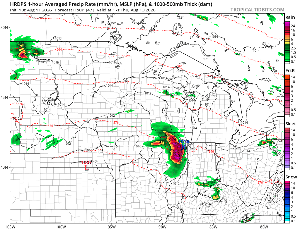
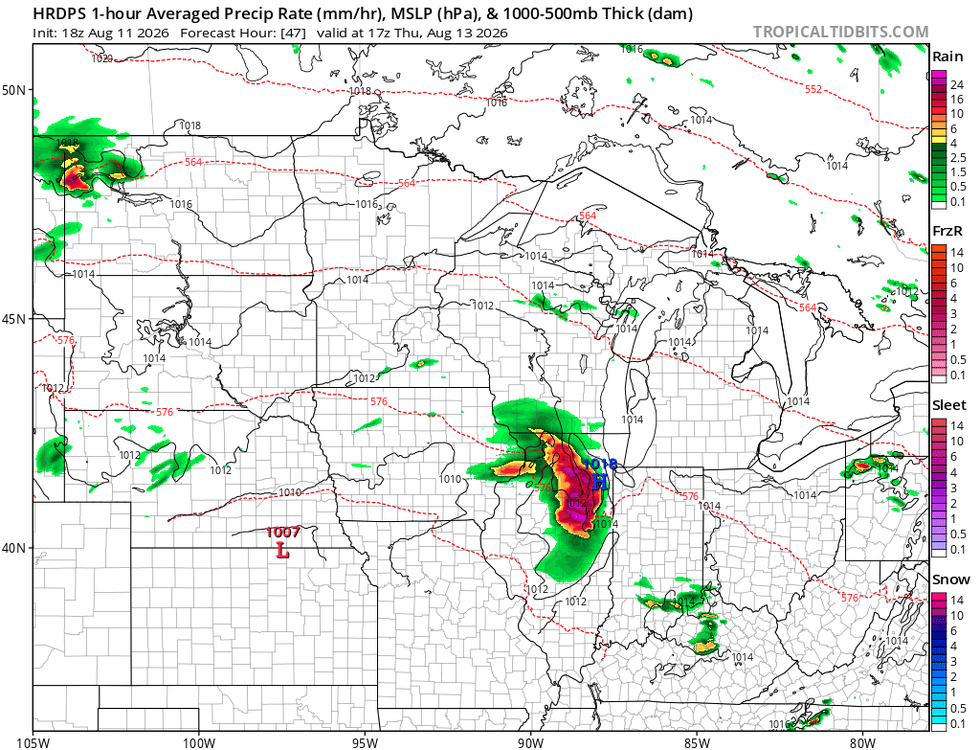
Peep it again for Thursday lmao
-
Man ever since moving, everything has missed south. I guess as a new homeowner I'm glad I'm missing this! Buckle up all. This looks to hit a lot of the Sub as it continues all day.
-
Clipper train
-
Let's repeat this low track in a few months from now
-
Ignoring the obvious accidental doxing .. lol but would be cool to see the users mapped out in our region
-
Looks like PDS tornado warning on that with CC drop. Yikes
-
Supercell in East Central WI looks like it's targeting me
-
Riding any models with the wild SSW storm motions
-
Milwaukee going to have the record dryest July. Can't say the same about drinking.
-
Does the GOES outage impact weather modeling? Hopefully that gets resolved sooner than later. Thankfully not expecting many tropical systems this season with it being out.
-
More tubes possible this weekend in IL. Record year for the State incoming?