Ephesians2
-
Posts
559 -
Joined
About Ephesians2

Recent Profile Visitors
4,670 profile views


-

Big Heat (and storms?) Week into July 4th Weekend
Ephesians2 replied to yoda's topic in Mid Atlantic
94/72 in Lynchburg, VA. The airport tends to run low, still at 91. I'm curious if we will have our first 100 degree day since 2012. Point and click had 100, 101, and 102, but we don't do extreme heat well due to our elevation and lack of a real UHI leading to cooler nighttime temperatures (70 this morning). -
Big Heat (and storms?) Week into July 4th Weekend
Ephesians2 replied to yoda's topic in Mid Atlantic
Do you know if there's a similar map for VA? Thank you! -
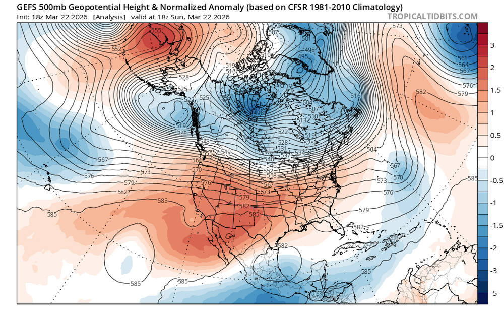
Yeah, I'm far from an expert, but the idea that this pattern would produce 90 degree temperatures in March in the Mid Atlantic really seems abnormal. 70s, sure. But this doesn't look record breaking. I would think you'd need a big Bermuda High and a ridge centered over the East Coast itself.
-
84.6° feels legitimately summerlike in the sun
-
Can confirm. My snow climo is 2 inches less than DCA, but there are plenty of days especially in the spring with CAD/NE winds where it's sunny here and 20-30 degrees cooler with mist in DC. A bit of elevation keeps the summer nights less hot as well, at least in the western half of what would be called Central VA. Lynchburg's average July low is 5 degrees cooler than DC's despite an overall warmer climate. It's still hot and humid, but I think it's preferable to NoVA/DC.
-
Yep, pretty much same experience here with this initial line.
-
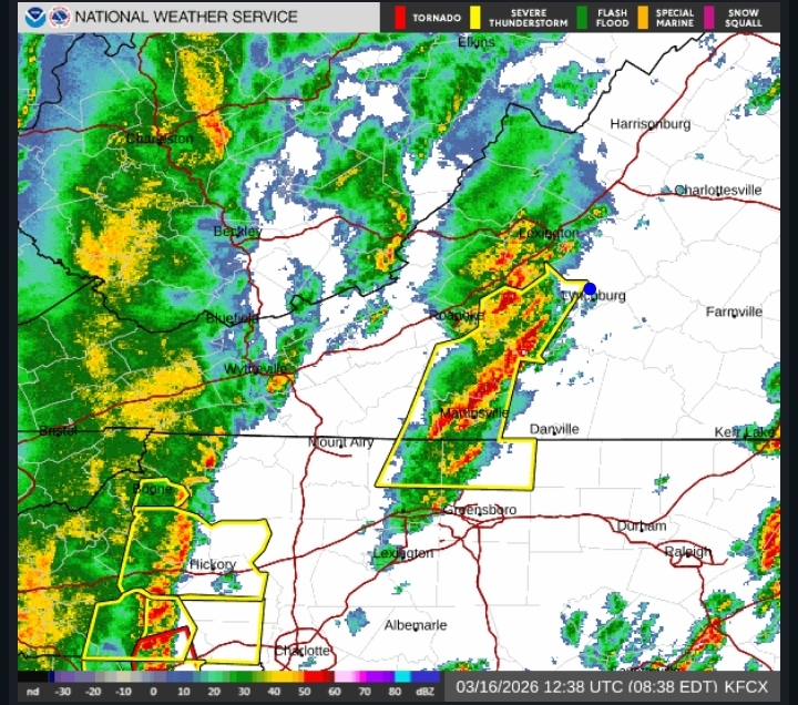
About to get hit by this. Will report back. Some peeks of sun this morning. There is also clearly a good deal of wind shear. The breaks in the clouds reveal different layers moving in different directions.
- 1,093 replies
-
- 3
-

-
- severe
- thunderstorms
- (and 1 more)
-
Richmond Metro/Hampton Roads Area Discussion
Ephesians2 replied to RIC Airport's topic in Mid Atlantic
Yesterday was very close to a US all time record. Off by a few degrees on both the day of high temperature and the prior day temperature.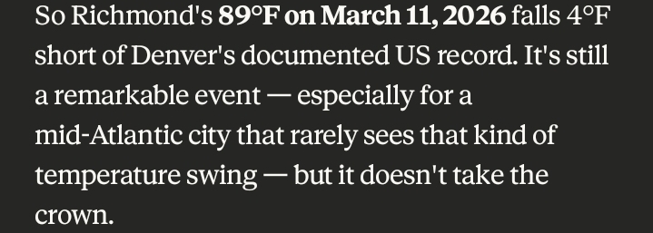
-
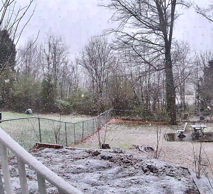
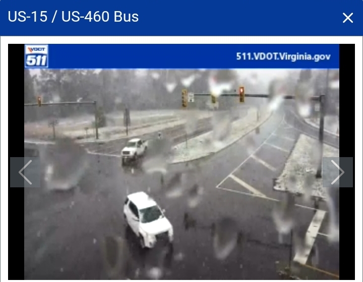
Farmville, VA (in between Richmond and Lynchburg) reported a high of 90 degrees less than 24 hours ago: Right now, snow is falling and accumulating on grassy surfaces.

-
03.12.2026 - 0.3" Total 13.0"
-
Pretty much done but I'm honestly shocked to have gotten measurable snow out of this. Got about an hour and a half of moderate/heavy snow.
-
Lynchburg VA