

Modfan2
-
Posts
2,327 -
Joined
-
Last visited
Content Type
Profiles
Blogs
Forums
American Weather
Media Demo
Store
Gallery
Posts posted by Modfan2
-
-
Just now, CoastalWx said:
3K looked more tame, but warmer pike south.
Shocker, guess 3-5” for me sounds good
-
13 minutes ago, ineedsnow said:
I'll sign for the Euro also 6 plus midweek here on 12z
Is that 6 plus of rain? Lol
-
 1
1
-
-
1 minute ago, Damage In Tolland said:
Wasn’t sure if many here would know that one lol
We know we know
-
 1
1
-
-
Pretty unsure at this point for my area in E CT; either 4-6 with taint or 5-10?? Being at 250’ doesn’t help vs those around with some elevation.
-
2 minutes ago, weatherwiz said:
Think it's becoming clear where the swath of highest totals will be
southern Vermont, southern New Hampshire, and central Mass into eastern Mass.
I will be happy with my 3-5”
-
1
-
-
1 minute ago, weatherwiz said:
I don't like seeing this for CT

Giving what is coming for Wednesday I will take this
-
1
-
-
14 minutes ago, CoastalWx said:
I’m pretty grounded in this one.
I called for 4-5” for me early and will stick with it; the sad part is will I match that amount in rain on Wednesday??
-
7 minutes ago, ORH_wxman said:
The block doesn't retrograde into an awesome spot until really post-1/17.....after that, the ensembles were going full 1978 with the arctic look (hopefully that keeps showing up), but it's still kind of precarious prior to that. The fact that the block is in the process of building/retrograding hopefully makes the corrections colder as we get closer, but I could still see a cutter in that 1/14-1/15 threat.
I don’t mind a cutter, just don’t want to see 1-4” of rain we have been seeing lately
-
16 minutes ago, ORH_wxman said:
GFS pretty damned cold again for 1/10....GGEM warmed again, though the evolution is kind of weird....nothing like the previous two runs, so not sure what to think.
ICON (if we care) cooled from 00z....though 00z was pretty torchy like the Euro.
Hope the trend is our friend; don’t need rain at this point
-
2 minutes ago, Damage In Tolland said:
1-2 feet CT east
I thought you maxed out this morning? Lol
-
17 minutes ago, Ginx snewx said:
I love posting clown maps it triggers so many(not you)
.png.a75f957bf0eb646eba95d01d7c2e870e.png)
I’ll take my 6” out of this and run; that’s half of last years total.
-
2 minutes ago, ORH_wxman said:
FWIW, the 06z EPS tracks really close to the 06z OP run....maybe a bit SE of the OP run.
Looks like there is still some spread with members to the west. I think I do ok, 4-5” but sitting at 250’ might hurt me vs higher elevations in Windham County and adjacent RI
-
7 minutes ago, Damage In Tolland said:
Snowy morning. Slick and covered
Nothing fallen or on the ground here
-
21 minutes ago, ORH_wxman said:
Versus your old ‘hood in Woodstock? Yeah it will taint quicker near Ginxy but not by much. He’s in a decent spot far enough off the water for major concerns. I’d think that area would need a true hugger track (like basically over the forks of LI) to have major ptype issues.
Im assuming you’re near Moosup/Sterling? I’m on mobile so I can’t see locations in posts right now.
Just north in Brooklyn, but sitting in a Valley
-
41 minutes ago, ORH_wxman said:
Pretty tight cluster on northern edge but none of them get inland. EPS had a couple onshore in CT but most of them stayed S of LI and all of them do on the GEFS save maybe one right near it. There is a northern extent to this because of the trough out west and the confluence up north.
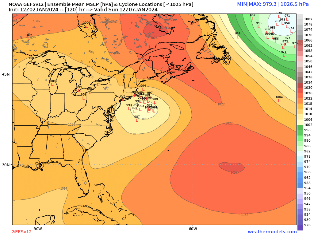
Here 12z GEFS.

Being new to the Ginxy area I assume I would taint quicker down here?
-
3 minutes ago, weathafella said:
An eastern SNE special on today's euro.
It’s going to be a long 4-5 days watching folks hanging onto each model run.
-
3
-
-
7 minutes ago, dryslot said:
Confluence squeezes the 7th out ENE below LI, Fringed CNE/NNE.
So nice SNE hit is what you’re saying? lol!
-
1 hour ago, jbenedet said:
We can’t get every storm guys. We gonna blow every precip record away?
Lol.
Dry has to happen some time; unfortunately it’s with the cold.
I thought this in October at some point we are going to go through a prolonged dry period and I thought it would be winter, but clearly not. We might be looking at a dry spring
-
Looks like 1.00” on the nose and 9.33” for the month.
-
5 minutes ago, CoastalWx said:
Going to be a pike south soaker. Yay.
Nothing like 9.00”+ of rain in 3 weeks time
-
1
-
-
Are we approaching any annual precipitation records in SNE? I know starting off January and February think 2+ rain events were impressive but back to back 4+ event here in December in a weeks time is shocking to say the least. Couple that with all the rain this summer got to think we are closing are some records in some areas?
-
Down to 18F here in E CT, not quite as cold as yesterday.
-
Down to 14F here in the valley in E CT
-
2
-
-
1 hour ago, CoastalWx said:
Looks like an active srn stream on the ensembles. Might be some gorillas from the gulf?
Hope not, 8.25”of rain in a week has not been good on my sediment filter
Monitoring first regional significant winter impact event. Magnitude likely tempered. At this time NE PA/SE NY and SNE primarily. Jan 7/8.
in New England
Posted
Sir Mixalot action for me