

Modfan2
-
Posts
2,327 -
Joined
-
Last visited
Content Type
Profiles
Blogs
Forums
American Weather
Media Demo
Store
Gallery
Posts posted by Modfan2
-
-
1 minute ago, Damage In Tolland said:
Going to be some 15+ amounts
Close to you or just west, that band hasn’t moved much
-
5 minutes ago, Damage In Tolland said:
Tonight?
Think this afternoon, looking at radar in Mass you it looks to be collapsing SE
-
I’m in some bright banding here lol! In all seriousness I have the chance to double my season total of 8” and not there to see it.
-
 3
3
-
-
1 minute ago, CoastalWx said:
Ugh this is painful lol. But happy for the SOP peeps.
So nothing from you to Boston north?
-
2 minutes ago, CoastalWx said:
You could see in Northwest CT towards Hartford. The banding might have peaked. There’s really not much moving into the northwest. We’ll see further east, if this can pivot a little further north.
Kev to Steve, elevated areas of Windham and northern New London Counties are going to do well
-
Just now, CoastalWx said:
Mix here. Skunked. Happy for you guys S and SW.
looks like your in a decent band
-
Just now, JC-CT said:
Nobody cares about massawherever
Looks like your in that decent banding
-
1
-
-
Decent band over the Hartford area, crushed?
-
1 minute ago, ORH_wxman said:
This is one of the worst modeled systems i can remember in the past 10-15 years. Guidance has been really bad with this. Reminds me a little of the 1/27/11 event in that respect, but that one actually started coming back in the final 12 hours....this one better reverse course soon if it wants to match that progression.
Not knowing how models are scripted to run, is it a problem with the model, data input? I mean it’s 2024 and these products are awful!
-
2 minutes ago, TauntonBlizzard2013 said:
Can you guess what model will be right?
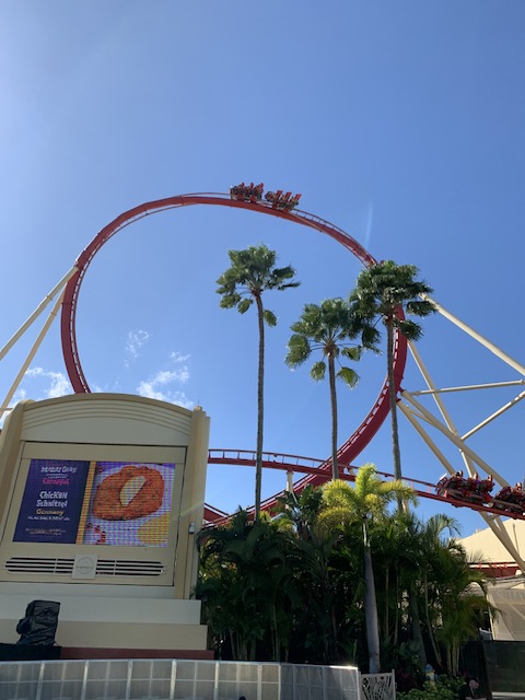
Like a roller coaster! Actually at Universal right now enjoying the rides
-
2
-
-
3 minutes ago, CoastalWx said:
I think the jack is definitely north of PVD at the moment. NW RI may do well.
Ginxy Jack Incoming
-
-
Sorry for the IMBY question but I Have a family member flying out Tuesday evening and wondering if they should change flight to Monday; but she is a teacher (Windham County) and wondering if schools will be cancelled Tuesday?
-
How does the time frame of this coming in on Monday?
-
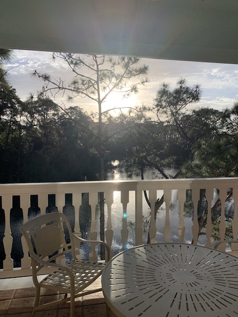
Welp, first time back in FL since moving back to CT and figures I might get more snow than I have the past two seasons.
-
 2
2
-
-
13 minutes ago, RUNNAWAYICEBERG said:
Yea. I never bought the strike zone being SoP anyway. Icon was actually the furthest nw too and the euro is ticking to it. Not a good sign for the southern half of CT
Dave to Ray is the place to be, has been all winter.
-
1
-
-
20 minutes ago, ORH_wxman said:
Pretty zonked actually.
Dave to Ray winter continues
-
1
-
 1
1
-
-
14 minutes ago, CoastalWx said:
NAM is a stretched srn s/w though. That verbatim probably isn't all that dynamic.
All I can picture is the guy from the John Cusack movie Wild Crazy Summer sitting smoking listening to the radio waiting to win the contest; he is this board each model run!
-
Is it too early to talk sun angle this time of year? Lol
-
 1
1
-
-
5 minutes ago, CoastalWx said:
Like I said yesterday. Something is brewing. But I feel like I know where this is heading.
Chances will be there for most, I think Kev north has best chances for frozen the next couple of weeks; those of us south will need a good set up to fight off marginal temp profiles we have had all season
-
1 minute ago, TauntonBlizzard2013 said:
That’s a congrats powderfreak and Montreal look if I’ve ever seen one. Mainly inland runners skewed by a few members halfway to Bermuda. Buckle up for more rain!”.
At least we’ve had two weeks to dry out
-
1
-
-
Happy Blizzard of 78 anniversary, I scored 30+ living in Southern ORH County; jumping off the garage was done with ease and no broken bones!
-
2
-
-
7 minutes ago, Damage In Tolland said:
This year just like last despite it not feeling that way due to radiational cold in Nov?
Although around this time last year we had our lowest temps of the season (-10F for me); I could be wrong but I think our coldest stretch will be the 7 BN days we had in January
-
1
-
-
11 minutes ago, WinterWolf said:
I agree with you about getting away and enjoying some good winter activities, does the soul good. Too much time here is detrimental for sure. Gotta limit time here, when there’s nothing happening.
Unfortunately, it’s gonna be months before any sustained warmth is really here for SNE. That’s the harsh reality unfortunately when it’s still February 5th. We got late March through April of misery mist and 45 degrees.
I mean we hit 97 last April which was my high for the year, so we’re not that far out

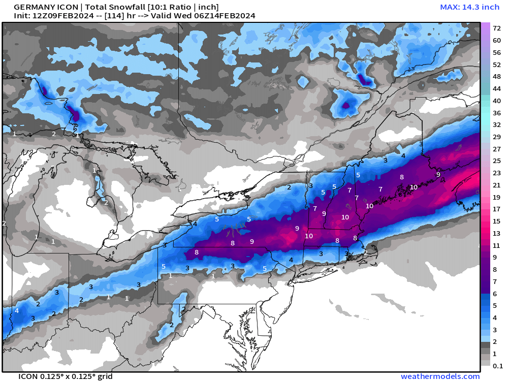
Following a Miller A/B hybrid type coastal potential, Feb 13th ... As yet untapped potential and a higher ceiling with this one
in New England
Posted
Shocked you only got that much, me being in the valley wondering if I was the same? Won’t know until Sat to see what is left