ORH_wxman
-
Posts
93,092 -
Joined
-
Last visited
Content Type
Profiles
Blogs
Forums
American Weather
Media Demo
Store
Gallery
Everything posted by ORH_wxman
-
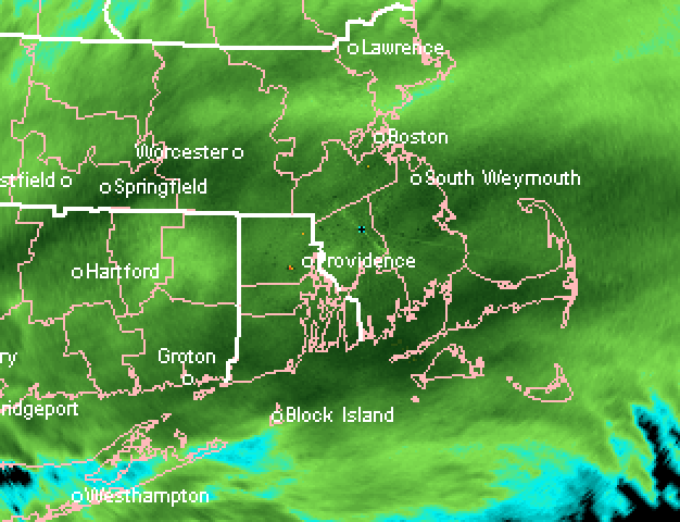
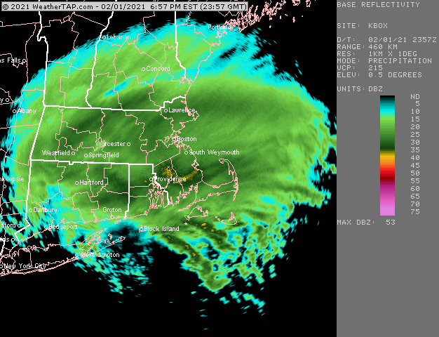
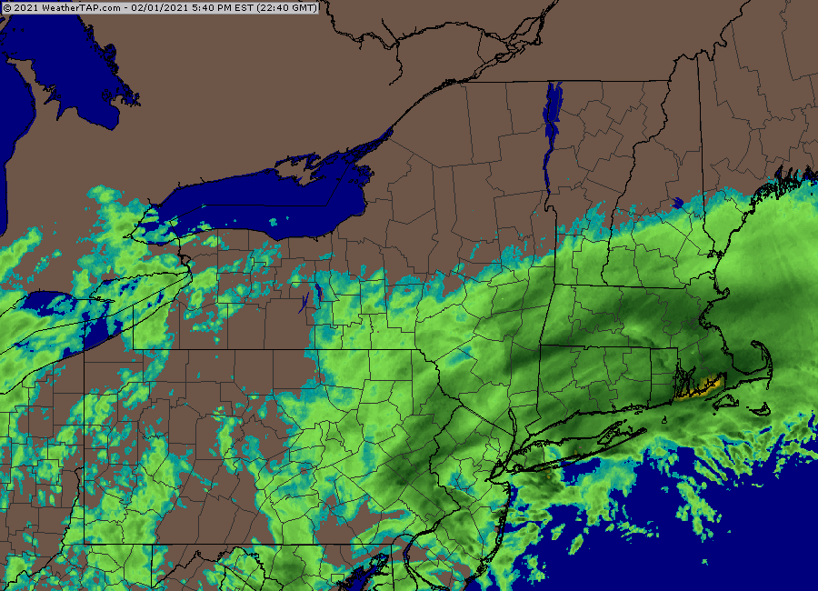
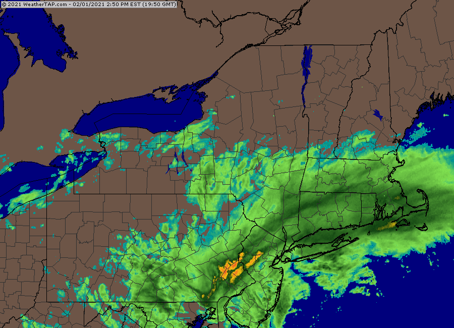
Temp gradient has become less pronounced as the event wears on, but it looks roughly like this
-
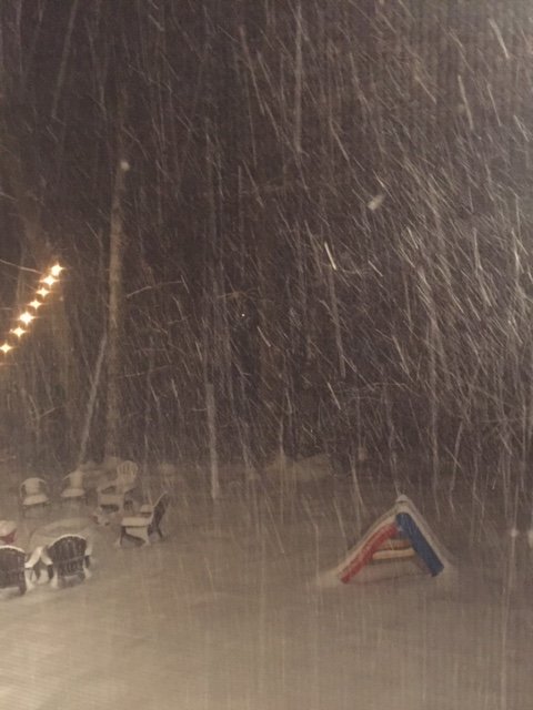
It is ridiculous right now.
-
Incoming too...heaviest stuff of the night is just coming in and should make it up by you in the next 30 min. This is probably 3-4” per hour stuff.
-
Visibility must be like 300 yards right now.
-
Just got inside from first round of snow blowing. Absolutely pounding. About 2-3” per hour. Going on 11 inches now.
-
Temp has ticked back nearly a full degree to 28.7F in the last 15 min. Just dumping outside. Snapped this a little while ago. Nearing 9 inches new.
-
This is ridiculous though. Like 2-3” per hour right now. About to make another measurement.
-
CF is getting close or almost overhead. Up to 29.6F here. Snow still powder but we’ll see if that changes in the next couple hours.
-
Maybe another 0.4-0.75? Except windham county is closer to an inch.
-
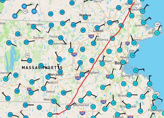
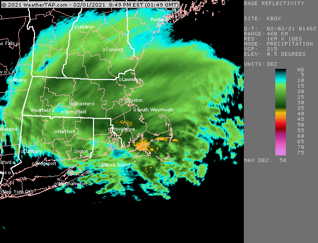
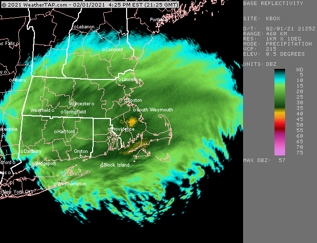
I wouldn’t go that far but the short term guidance is utterly insane for E MA tonight. Most of them are giving over an inch of additional QPF. Some areas over 1.5”. Not sure if I believe that but whoever can keep their BL temps cool enough is going to absolutely pound for the next 6-10 hours.
-
Said it before but this is a really nice looking storm
-
Yep. Hung them this past fall. Almost fell off the 25 foot ladder doing it.
-
Thanks man. Put some sweat into the backyard but we got it like we want now. Sticking on topic: heavy snow and 27.8F. Temp up almost a degree in last 30 min.
-
For dryslot and dendrite. I’m not outside so I’d to take this through a screen but a little better than the drizzle pic
-
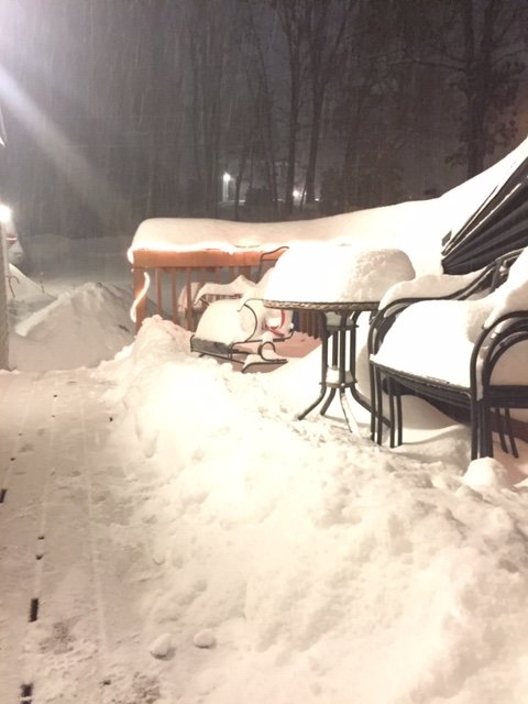
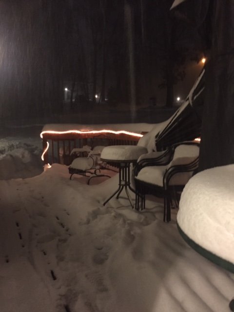
Oh yeah, the table in the foreground actually has about 9” on it. Leftover snow from the storm last week. The smaller table in the background didn’t have anything on it so that is all new.
-
What was wrong with the table? Lol
-
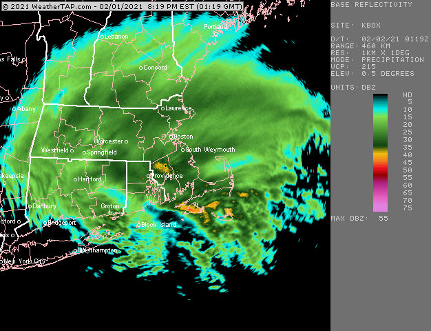
Your numbers are similar to mine. Area to the west of the CF is cleaning up in this in the past 90 minutes.
-
Lol that light sucks. Snow growth is actually very good. That pic also may have been longer exposure since it was kind of looking into the darker area there...so all the flakes appear as little streaks.
-
Absolutely barfing snow. Temp has actually ticked back to 27F from 27.5F 6 inches New now. About 2” in the last hour.
-
You’re def behind me a little bit. I just measured 4.5”. Though early in the afternoon you were kind of in a sucker hole just to my NW
-
Absolute poundage here. 27.5F now. CF has been inching super slow. Hopefully stay on the cold side for a few more hours
-
27F and ripping. Eyeballing 4” or so. This stuff is really efficient right now.
-
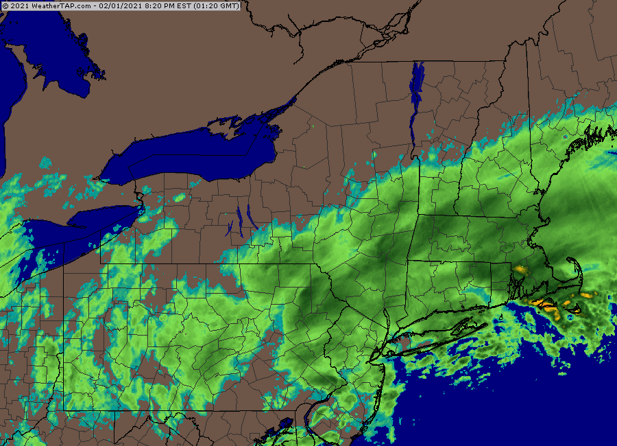
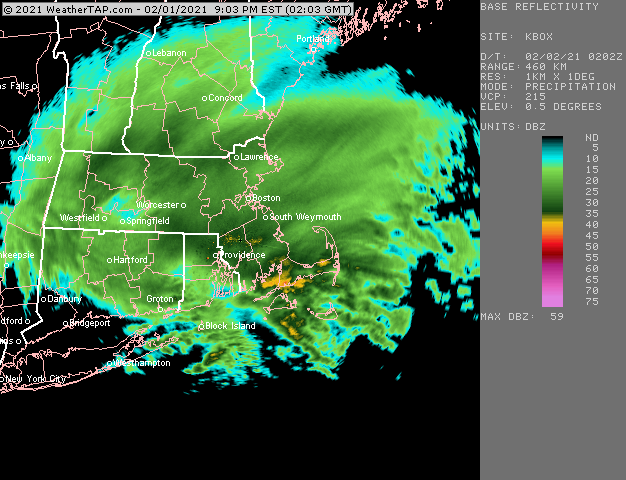
Storm is aesthetically pleasing on radar.
-
Echoes starting to light up a bit more down there. Go time is really between now and 9pm or so for the marginal SE crew.