ORH_wxman
-
Posts
93,092 -
Joined
-
Last visited
Content Type
Profiles
Blogs
Forums
American Weather
Media Demo
Store
Gallery
Everything posted by ORH_wxman
-
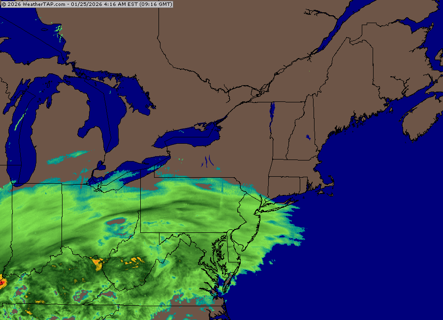
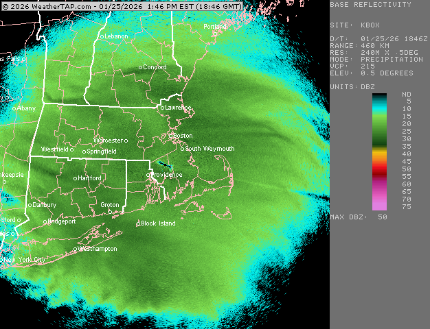
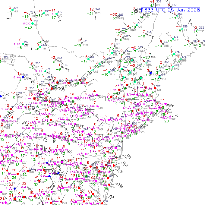
It’s not very often you cannot see any dryslot yet when zoomed out on the NY State radar view
-
Incoming with another very intense band
-
This is probably the best radar I’ve ever seen that wasn’t a coastal…and even with the coastals, prob only a few would surpass this look…your firehose type events or maybe just incredible intensity in a large CCB like Feb 2013.
-
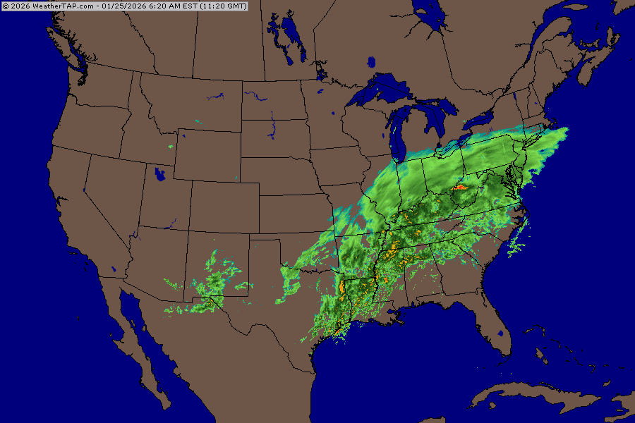
There we go. That’s 2008 style right there. That’s gonna really suck too since it’s cold behind this storm. Lot of people without heat.
-
Pingers trying to reach NYC now.
-
First hour or 90 min here was pure baking powder. Had to get into the 20-25 dbz stuff before seeing good snow growth.
-
Just passed 3”. Pure blower fluff on top of that first inch of baking powder.
-
Single digits all the way down to ABE is impressive
-
Absolute poundage in this band. This is perfect snow growth and not much wind. Prob over 20 to 1 when you are in a band like this.
-
Dendrites starting to mix in. We’ve been moderate pure baking powder for about an hour now. Growth noticeably improving the last few min. Temp 4.8F.
-
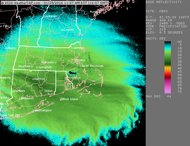
Ok yeah it was just weathertap screwing up a couple frames. Back online. Looks like incoming for ORH-PVD
-
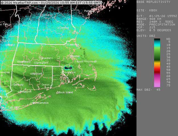
I hope this is just a weathertap radar glitch and not the BOX radar going down
-
I remember starting as snow in that one around -4F. Hard to believe it flipped later on. Kind of like the Tip storm from Jan ‘94. Shouldn’t have to worry about it this time.
-
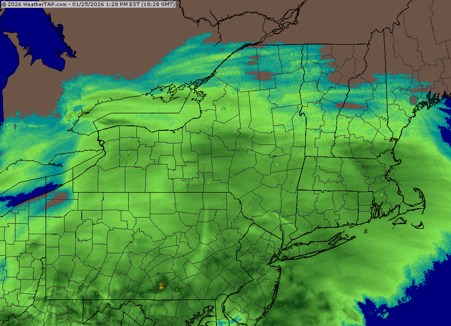
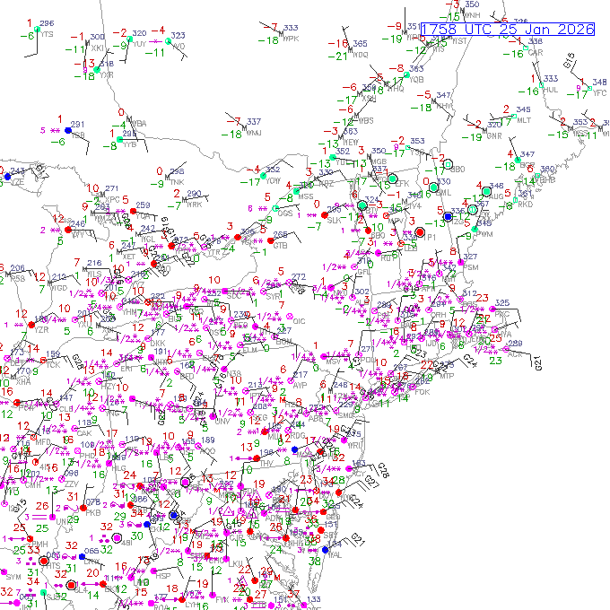
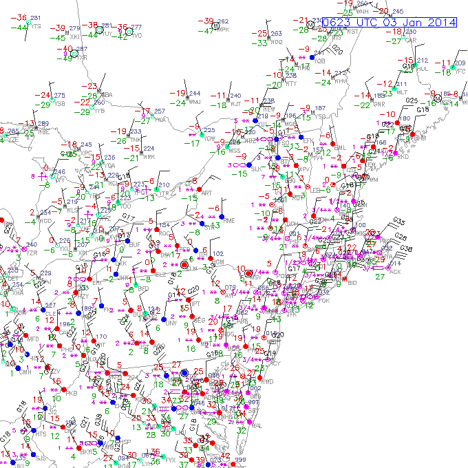
Dont see a map like this every day.
-
No, both Feb ‘03 and Feb ‘78 were just over 27” but the 2003 measurement is kind of fake. It was controversial at the time. They cleared too frequently. But they’ve never had 30”+. Though I think there is a good chance that the city itself cracked 30 in the ‘78 storm.
-
When the next one crushes 128-westward, we’ll conclude he was released with an ankle bracelet.
-
Prob Jan 2004 you are thinking of. We had a couple small clippers with temps near zero.
-
3k was ran from your basement
-
This one was below zero for a while
-
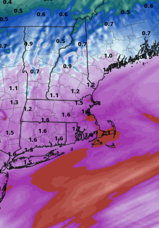
Seems like the northern extent of it did tick a little north. Don’t think it affects his area. Might affect places like PYM-EWB but prob not a game-changer in the overall scheme of the storm. An hour or two earlier could cost them a couple inches.
-
They are getting ratios that we typically get in SWFE…being not as deep into the arctic airmass.
-
Had that one saved from a long time ago. I think we made that in the ‘07-08 winter.
-
Radar nudity